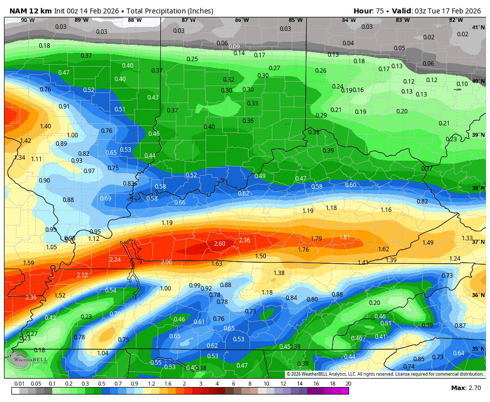
Good Saturday and Happy Valentine’s Day! Mother Nature is showing us a little love in the temperature department, but that’s where the love ends. Rain is rolling in from the west today and continues into Sunday before Spring Fever breaks out.
Let’s begin with today and roll forward. Highs are in the 50s with clouds increasing as low pressure moves across the Tennessee Valley and into the Carolinas by Sunday. Rain moves into western Kentucky today then overspreads the rest of the state this evening and overnight. From there, rounds of rain continue through Sunday before tapering from west to east during the afternoon and evening.
Locally heavy downpours will be possible and some of us can pick up more than 1″ of rain.
Highs Sunday are mainly in the 40s.
Temps jump back up into the 55-60 degree range for Monday as skies become partly sunny during the day. This kicks off a very mild period for much of next week. Highs can reach 70 on more than one occasion as a strong southwest wind kicks in.
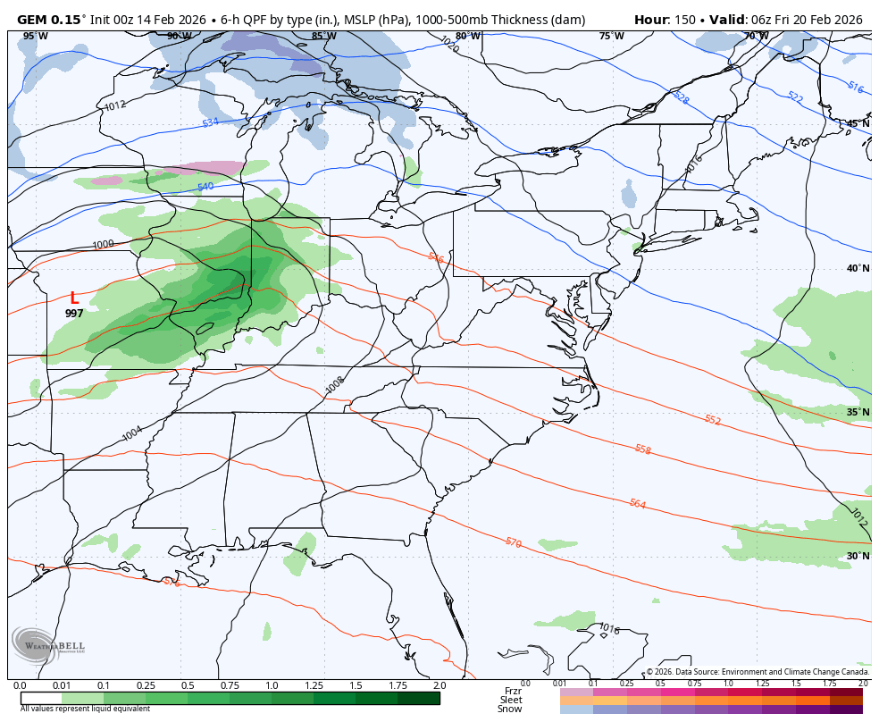
Winter does have a window of opportunity to fight back in around next weekend and into early the following week. A few deeper troughs may be able to work into the eastern half of the country during this time…
I’m on the road again today, so another update isn’t likely. I will have updates on my Meteorologist Chris Bailey Facebook Page
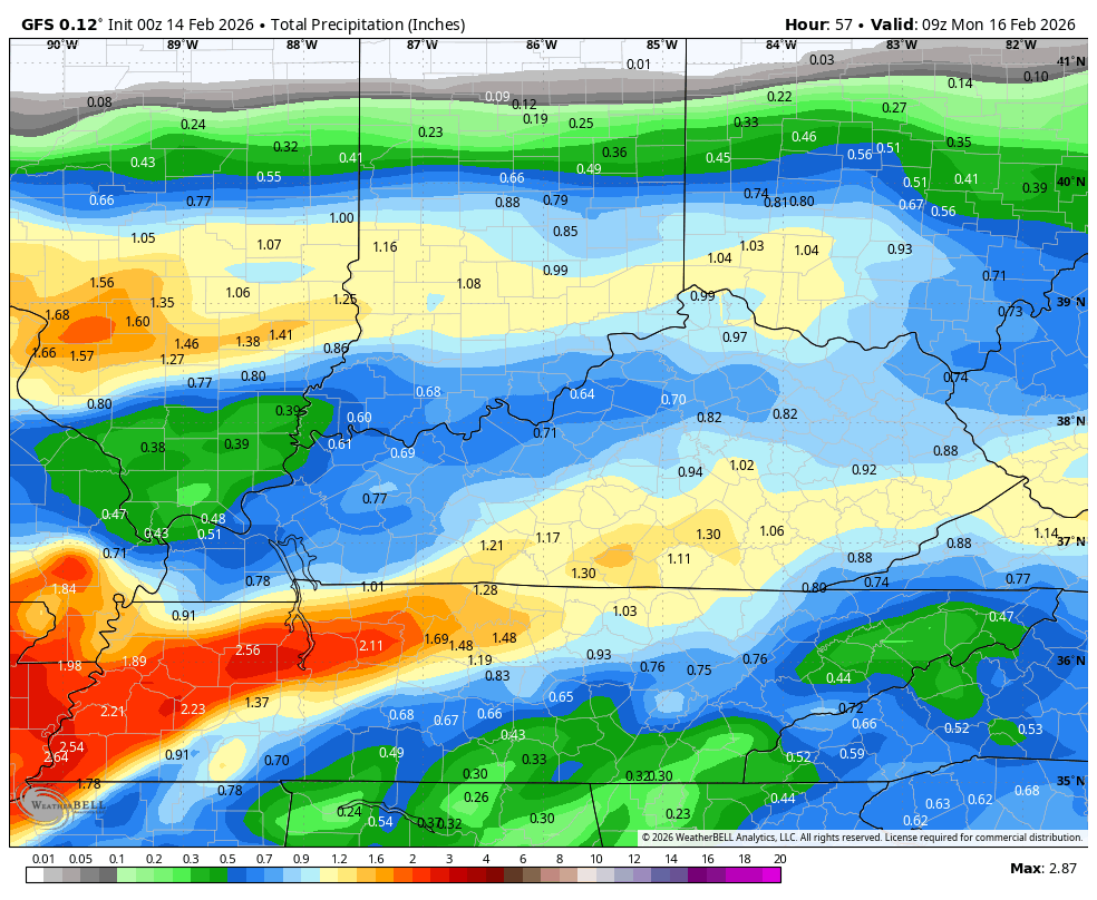
Until then, here are your tracking tools for the day…


Make it a great Valentine’s Day and take care.
