Good evening, everyone. We’re putting the wraps on a pretty nice weather day across Kentucky as a taste of spring temps continue. This may wind up getting us in some trouble later in the week as strong and severe storms show up.
The Storm Prediction Center is already highlighting the severe weather threat for Thursday and Thursday night. This is beyond the 3 day window of the traditional looking severe weather outlooks, so this is more generalized…

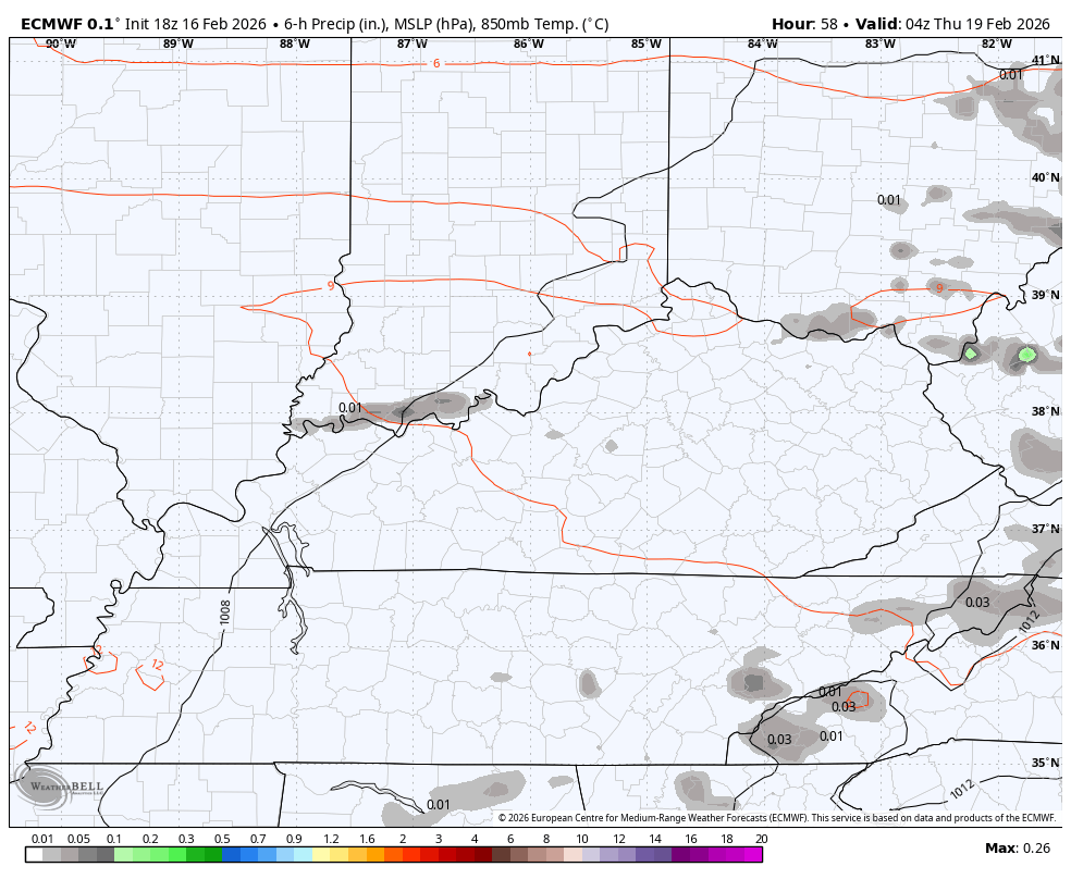
The EURO shows our storms well…
The setup after this still looks interesting to me as winter tries to fight back into our region. As our Friday front checks up, another wave or two of low pressure develops along this, giving us the chance for rain and snow. That would be followed by a strong northwest flow that can deliver some snow showers and flurries Sunday and Monday.
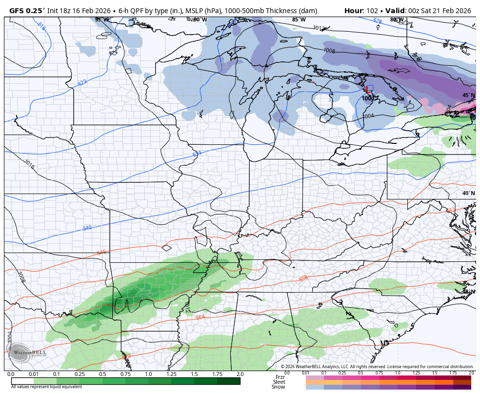
The GFS gas been leading the charge on all this…
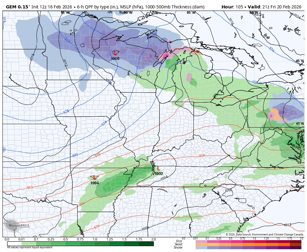
The Canadian is now seeing this potential…
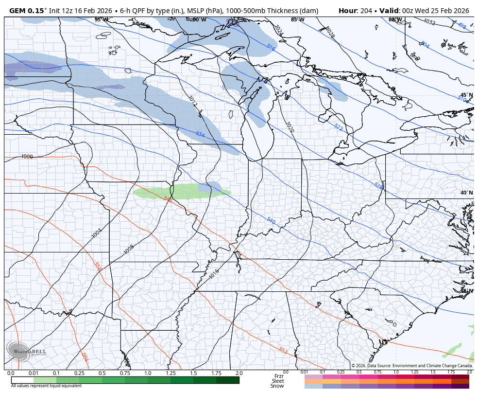
The Canadian sees another system coming in behind that next week…
There’s a lot of back and forth on the way and that means a very active setup, folks. I’m not liking the look of spring as an active look can cause a lot of problems.
The full update comes your way later tonight. I will also have updates on my Meteorologist Chris Bailey Facebook Page
Have a magnificent Monday and take care.
