Good evening, everyone. Snow showers and squalls continue to make their way across central and eastern Kentucky. This blast of winter is helping fuel that massive blizzard along the east coast into the start of the new week.
Our Winter Weather Advisory continues across southeastern Kentucky through Monday…

The northwest wind continues to spit out all kinds of flake action all the way to Interstate 65, farther west than the models were suggesting, but matching up with what I was expecting from this setup with my now 3 day old First Call for Snowfall map…
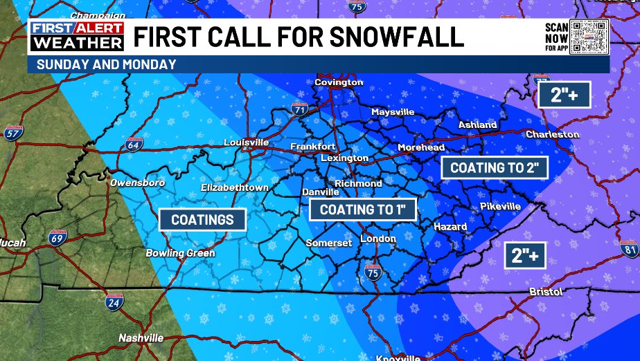
Never doubt the northwest wind flow in this kind of setup, folks. Hopefully, the younger folks in the weather world pick up on this.
Bitterly cold wind chills filter in tonight with wind chills hitting the single digits. The bitterly cold wind chills continue through Tuesday morning before milder winds kick in late Tuesday and Wednesday.
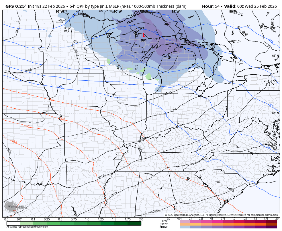
That’s ahead of another potent system swinging through the Ohio Valley…
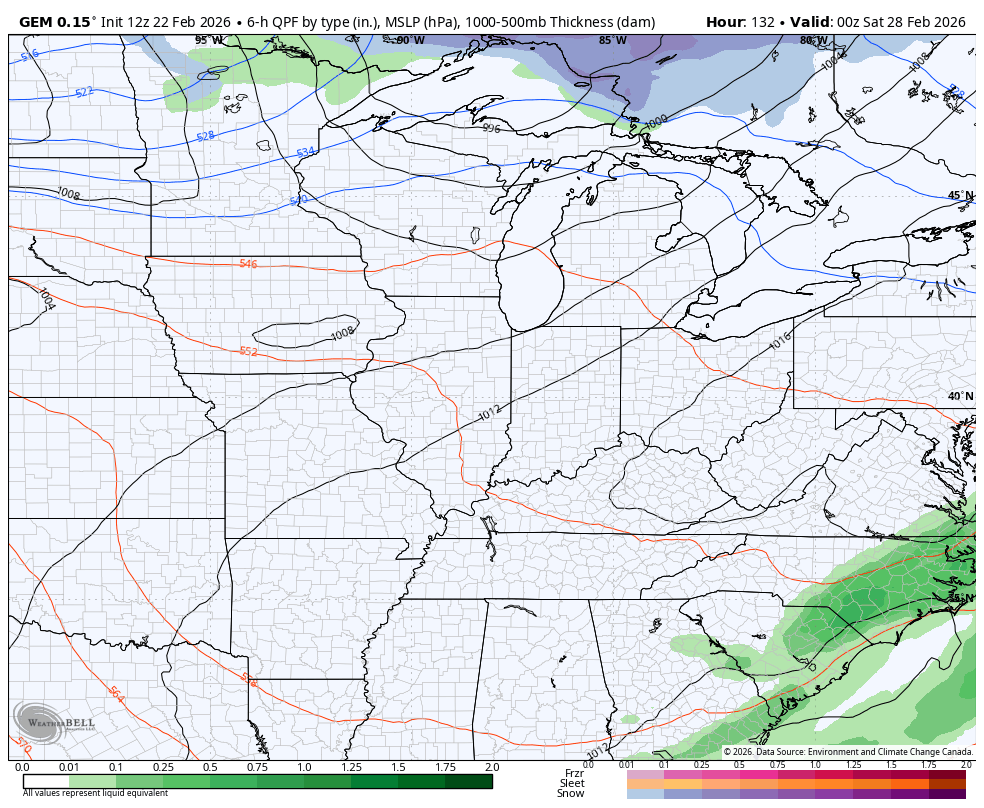
What happens behind this as we end February and begin March is a little murky right now. The Ensembles and GFS have a warm setup, but the Canadian and Euro Models have more of a winter look.
Here’s the Canadian Model for the first few days of March…
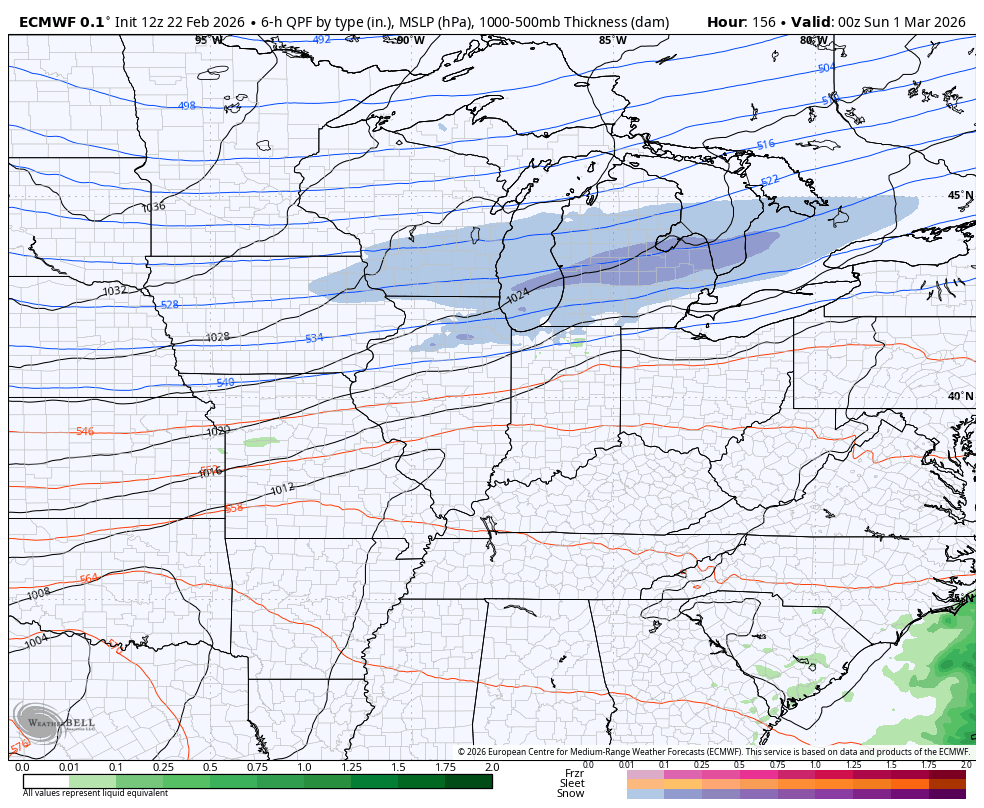
That’s as far out as the Canadian goes, but the EURO goes out quite a bit longer. It shows a very active setup around here with a few fence riders…
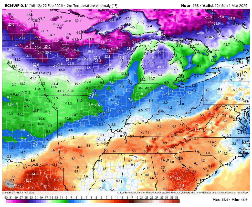
The temperature anomalies with all this are pretty ugly on this run…
The full update comes your way later tonight. I’ll also have updates on my Meteorologist Chris Bailey Facebook Page
Until then, here are your tracking tools for the day…


Make it a sensational Sunday and take care.
