Good evening, everyone. We are tracking another rain and snow maker into the region by Wednesday night and Thursday. Once this zips through, the pattern looks to feature some wild swings that will likely get us into some trouble in March.
A cold front drops into the region later tonight and early Wednesday. This touches off a band of showers with the greatest chance across the south. Temps Wednesday range from the upper 40s to middle 50s.
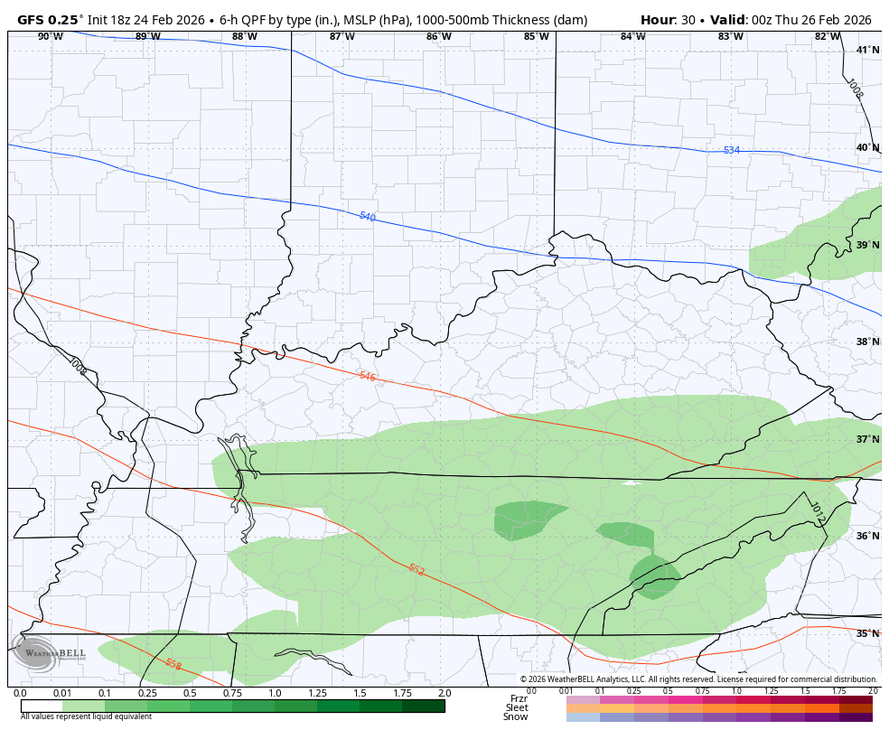
A wave of low pressure then zips through here Wednesday night and early Thursday, bringing a swath of rain and snow across the state. The GFS has had this reasonably in hand for a few days now and other models are going in this direction.
This type of a system can drop a few inches of snow across the northern half of the state. Here’s the GFS…
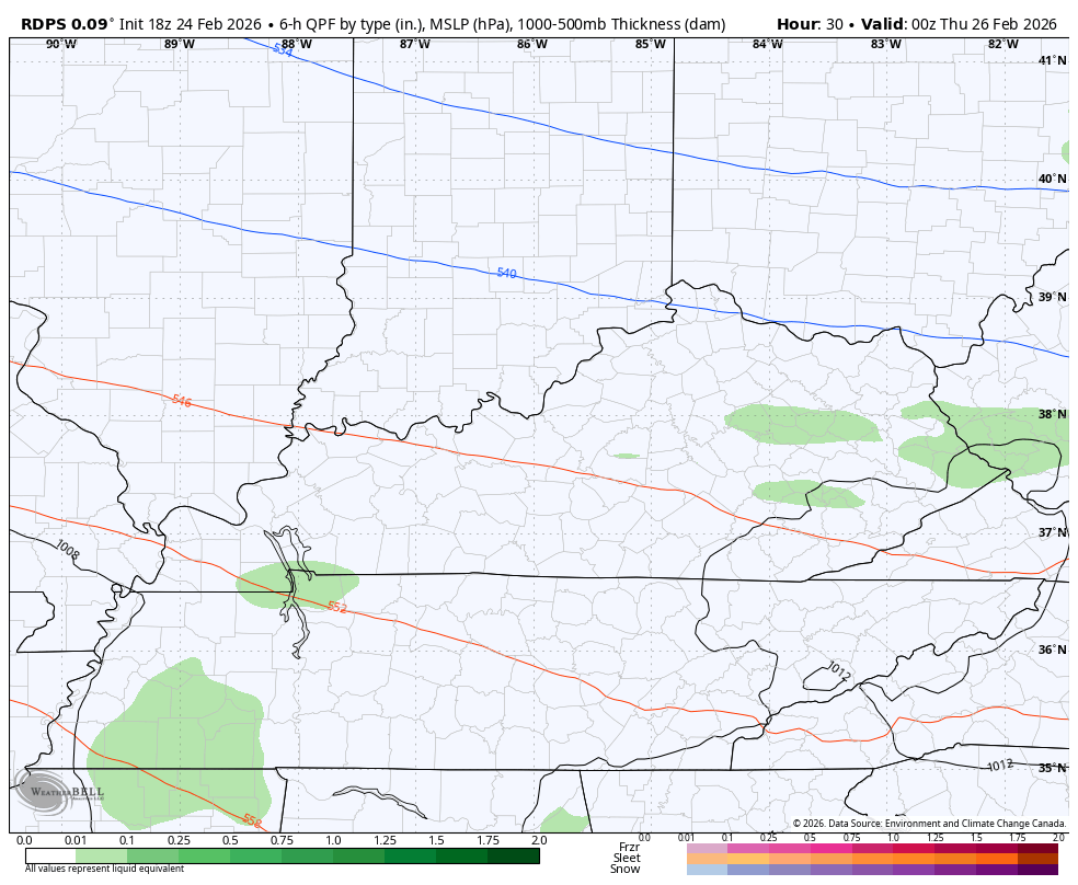
The Short Range Canadian is now very similar…
Temps rebound quickly on Friday and may hit 60 degrees with 60s on the final day of the month on Saturday. That’s followed by what will be a very active start to March. Check out all the storm systems showing up on the EURO for the first 10 days of the month…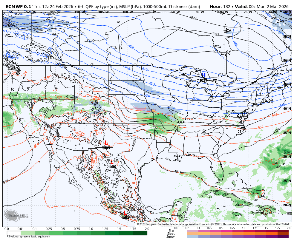
I’ll have the full update later tonight. I’ll also have updates on my Meteorologist Chris Bailey Facebook Page
Until then, here are your tracking tools for the day…


Make it a great evening and take care.
