Good evening, everyone. I wanted to stop by for a very quick update on the increasing potential for rain and some snow impacting our region Sunday night and Monday. This is a one and done winter weather threat as the pattern skews warm and wet thereafter.
The system for Sunday night and Monday comes from a wave of low pressure moving along a stalled front. This brings rain and snow from west to east, giving us the chance for a swath of slushy accumulations during this time.
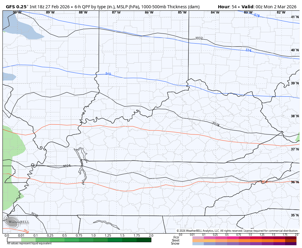
The GFS has been all over this for a while now and continues to indicate some ugly…
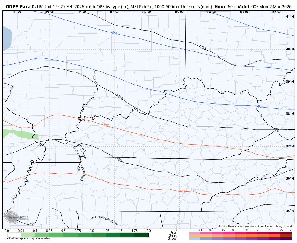
The Canadian family is similar…
The future radar from the RRFS looks very similar to both of the above models…
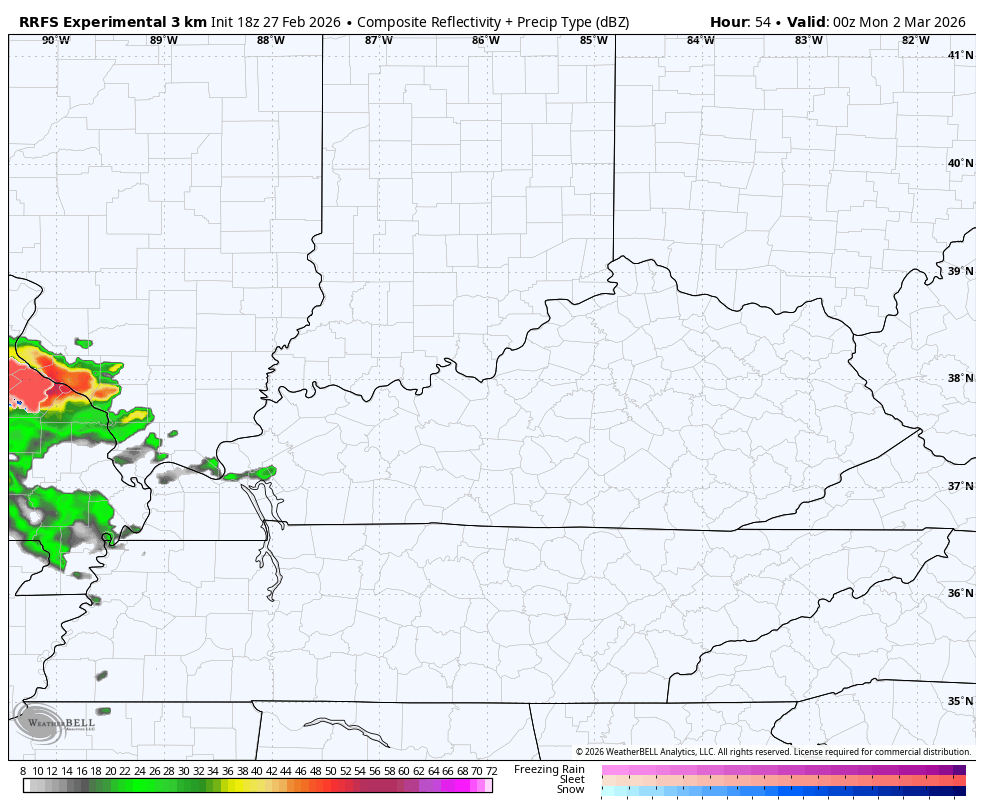
A swath of overachieving wet snows is very possible with this setup. Much of that would melt rather quickly Monday afternoon and evening as temps stay above freezing.
The pattern after this still looks warm and stormy and has trouble written all over it.
I’ll get into all that later tonight. Enjoy the evening and take care.

Thanks Chris. We Shall See, But I Don’t Feel It Will Be As Active As The Models Indicate.