Good Wednesday, everyone. It’s a rather active weather day across the region as rounds of showers and storms roll through. Some of these may be strong and cause some hit and run high water concerns.
The showers and storms of today are rolling from northwest to southeast and will be moving over some of the same areas one right after the other. The best chance of this is across the northern half of the state. Local flooding issues will be possible along the Interstate 64 corridor and north, especially.
Here’s a look at the Flood Watch that’s out for the day…

A few of the storms may be strong or severe, but it’s a low-end threat for our region. Here’s today’s Severe Weather Outlook from the Storm Prediction Center…

The individual severe weather threats from the SPC look like this…


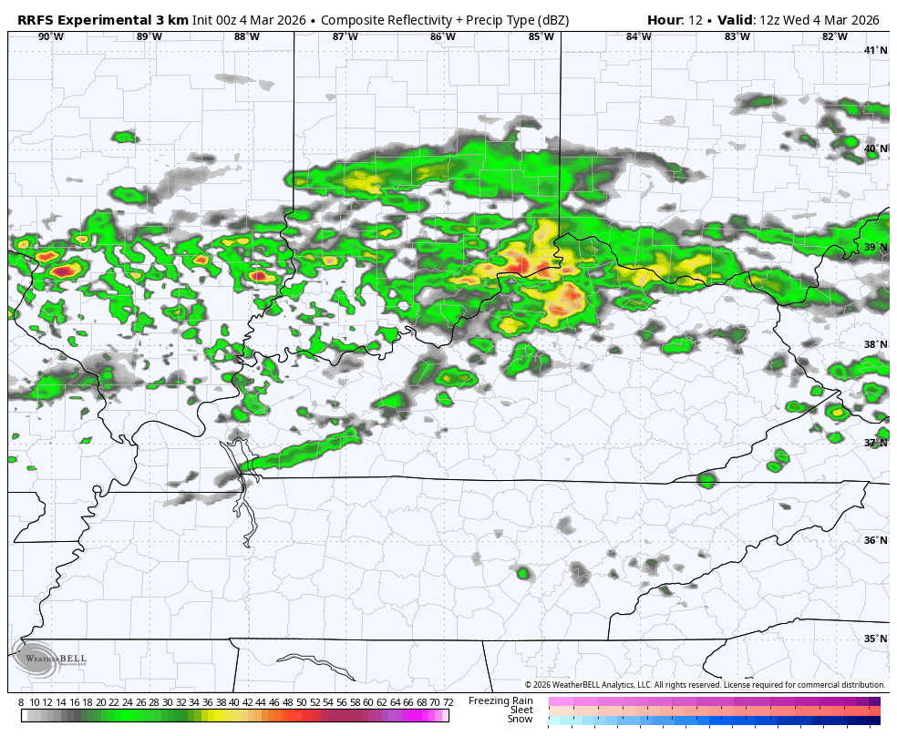
A few more storms rumble through on Thursday, especially in the west and north. Here’s the future radar from the RRFS from 7pm this evening through 7pm Thursday…
Record highs will be possible Friday with some areas making a run at 80 degrees.
Another cold front sweeps in here with some showers and storms later Saturday into early Sunday…
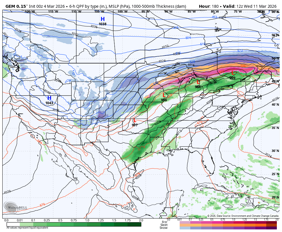
Warm air surges back in early next week, but winter isn’t done just yet. I think it makes another run at us late next week into the following week and has a chance to put a little snow on the ground. The forecast models are beginning to see this change and we may swing from severe weather to snowflakes in a short period…
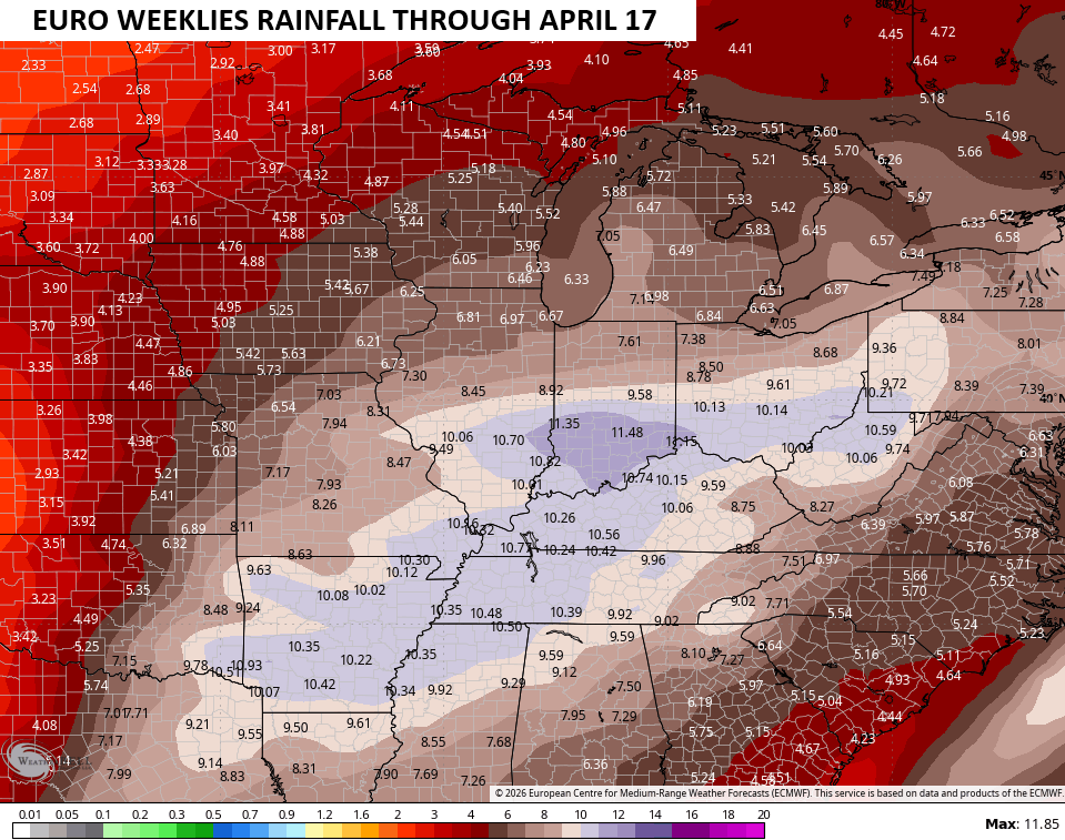
The long range EURO Weeklies continue to show a VERY active setup through the middle of April. Check out the rain numbers during this time…
Another update or two will come your way later today. I’ll also have updates on my Meteorologist Chris Bailey Facebook Page
Until then, here are your tracking tools for the day…


Make it a wonderful Wednesday and take care.

Any snow will be very little and gone quickly.