Good Thursday, everyone. It’s another day of scattered spring storms and mild spring temps out there today as this pattern rolls on. This is ahead of record or near record highs for Friday. This spring pattern rolls into next week before Old Man Winter tries to fire off one last round at us.
In the short term, scattered showers and storms will be noted from time to time with the best chance across the north and west. Temps today range from the mid 60s to mid and upper 70s.
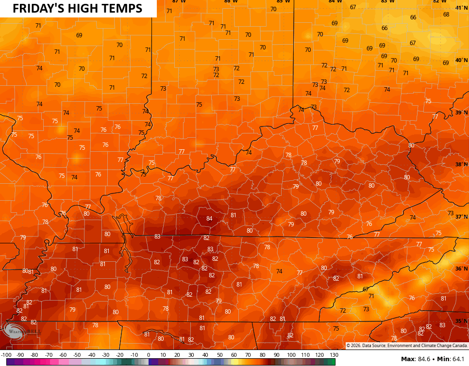
Friday’s highs jump into record high territory of 75-80 degrees with the potential for a few low 80s in the south and southwest…
Only Isolated storms will be noted Friday afternoon and evening.
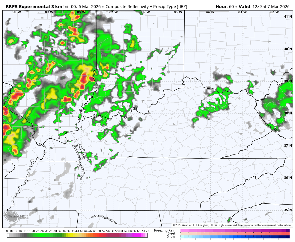
A cold front slides in late Saturday, bringing a line of showers and thunderstorms through here into Sunday morning. That action clears up quickly from west to east early Sunday. Here’s the RRFS Future Radar from 7am Saturday through 7am Sunday…
The chance is there for a few strong storms on Saturday with an overall low threat for severe storms. Here’s the Severe Weather Outlook from the Storm Prediction Center…

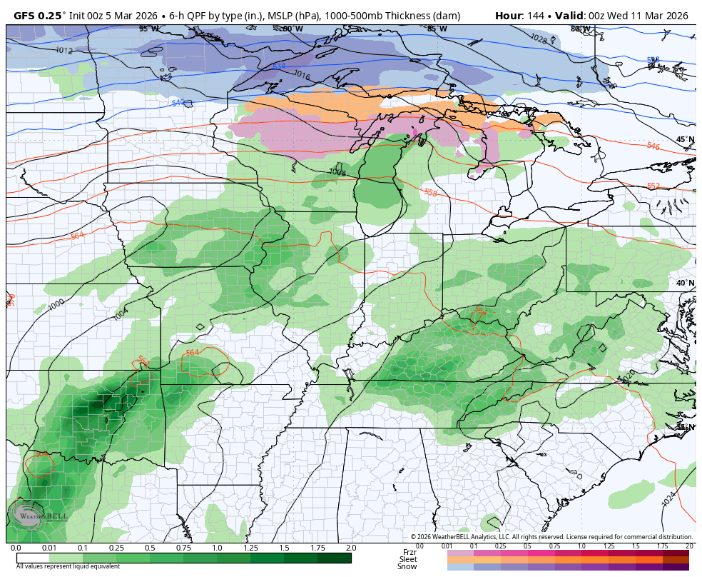
Another big surge in temps pushes in on Monday with 70s likely into the middle of next week. Those temps will come with more in the way of scattered storms with the potential for severe weather around the middle of the week or shortly thereafter.
This is ahead of a slow change back to cold and some winter. That change likely leads to additional rounds of showers and storms leading up to the change…
Another update or two will come your way later today. Until then, here are all the storm tracking tools you need to start the week…


Current watches

Possible Watch Areas

Make it a great Thursday and take care.

Any return to winter will be weak and brief.