Good Sunday, everyone. Cooler winds are blowing across the state today, but the weather is still pretty darn nice. Once into the week ahead, we need to fasten those seatbelts as a significant storm system brings the potential for severe storms and snowflakes into our region.
Let’s start with our Sunday before we look ahead.
Daylight Saving Time is back and it’s starting with morning showers in the east and southeast. Clearing skies will take control from west to east with temps in the 60s for highs. Overall, this is still a really nice weather day.
Temps surge back into the 70s Monday and Tuesday with the chance for a few thunderstorms going up.
This action is ahead of a potent storm system spinning from the Plains toward the Ohio Valley and Great Lakes late Wednesday into Thursday. This has spring ahead of it and winter behind it, leading to the active weather potential.
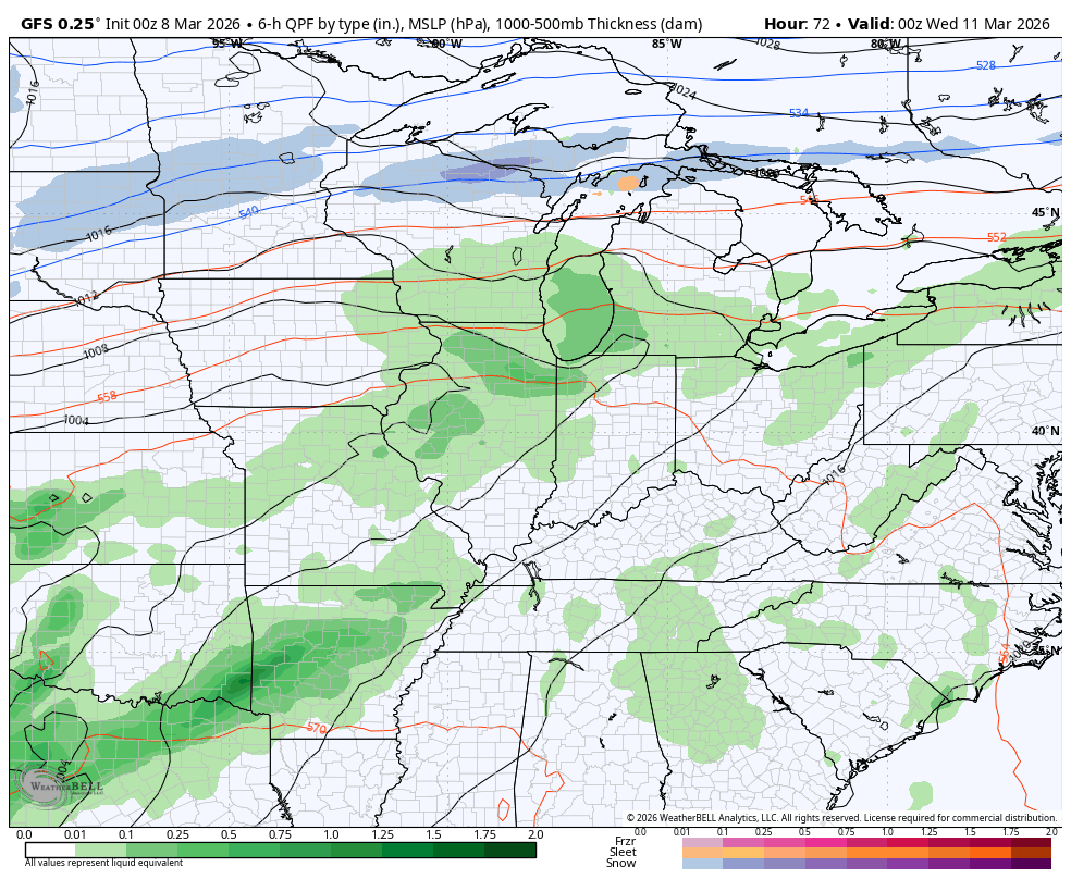
Wednesday looks very busy with rounds of strong to severe storms racing through the state with highs deep into the 70s on a strong southwest wind.
Behind the front comes a dramatic drop in temps with readings going below freezing by Thursday morning. A few flurries or even some snow showers may be noted across central and eastern Kentucky early in the day.
The GFS seems to have a good handle on this…
All modes of severe weather will be possible Wednesday into Wednesday evening. The Storm Prediction Center brings the severe threat toward far western Kentucky as early as Tuesday evening…

Wednesday is just beyond the traditional outlook from the SPC, but they are blanketing our region in the generalized severe weather threat…

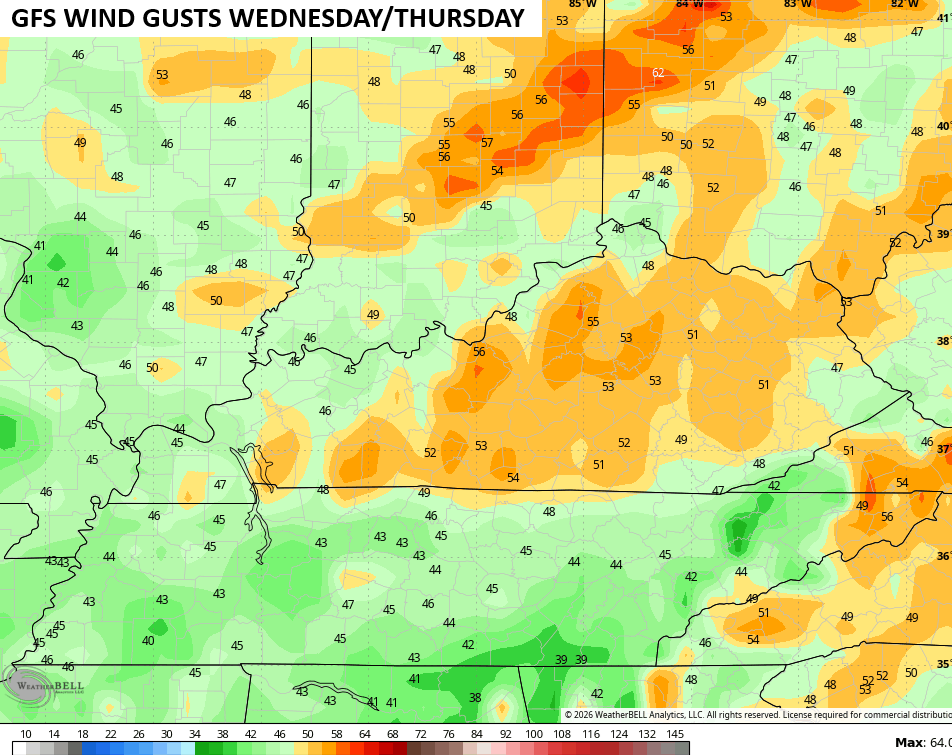
The peak wind gusts from the GFS are way up there during this time…
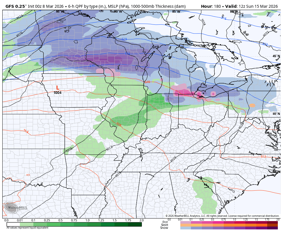
Temps rebound a bit after that with more of a March look and feel into next weekend. That may be followed up by another potent system similar to the one in the week ahead…
I’ll have another update later today. Until then, here are all the storm tracking tools for the day…


Have a sensational Sunday and take care.
