Good evening, everyone. The time change is tough on the sleep pattern, but I like having a later sunset to take advantage of these nice spring days. As we look ahead, the pattern continues to be loaded with severe weather with some snowflakes set to follow.
Temps reach the 70s again Monday and Tuesday with a few storms going up ahead of a potent storm system rolling in for Wednesday and early Thursday. This brings all modes of severe weather into the region.
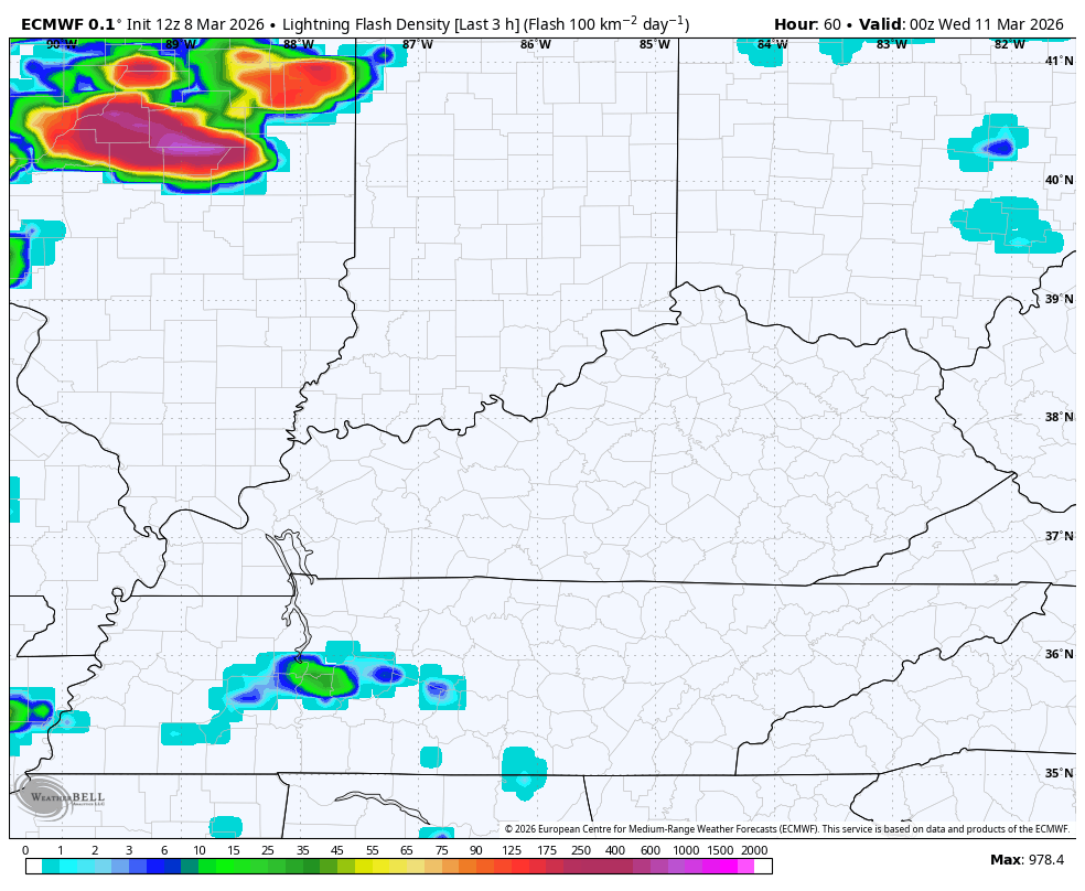
The main storm action rolls in Wednesday afternoon and evening and the lightning forecast from the EURO shows this well…
The Storm Prediction Center brings the Marginal Risk for severe storms into the western half of Kentucky on Tuesday with a greater threat to our west…

The Wednesday Severe Weather Outlook continues to be just outside of the traditional look from the SPC so it’s more generalized. But it continues to blanket the entire state with the severe storms risk…

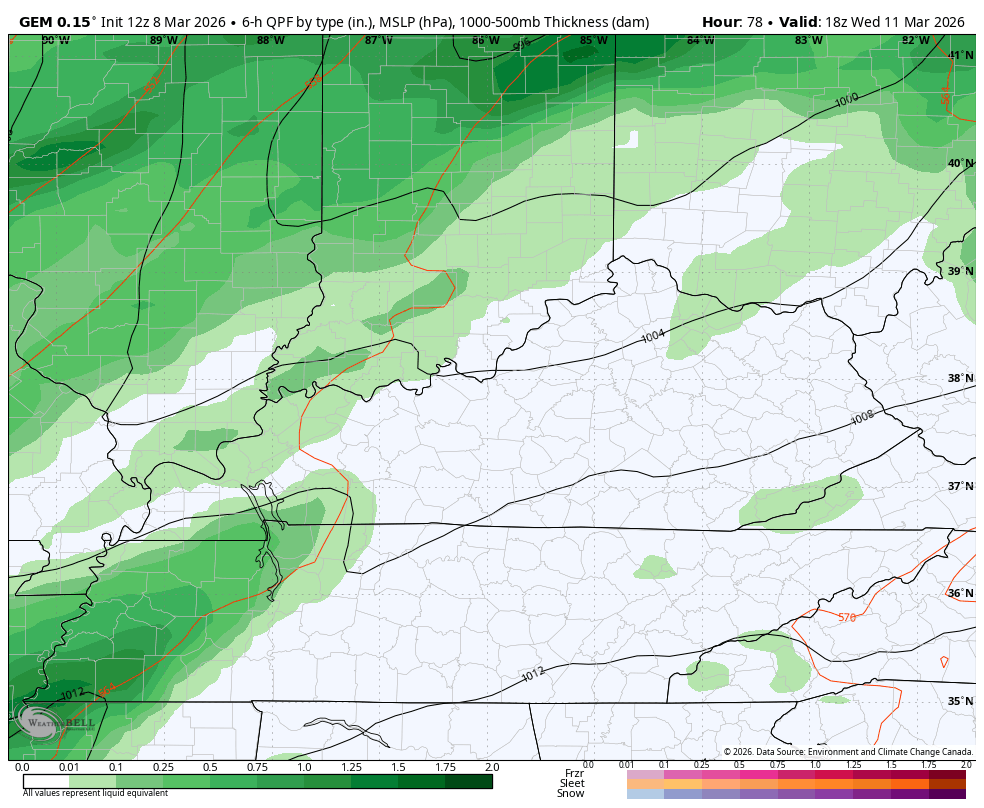
This action is along and ahead of a stout cold front that has the chance to spit out a snowflake or two behind it Thursday morning…
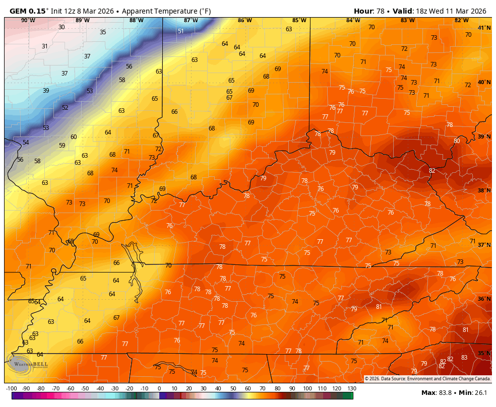
Temps reach 75-80 Wednesday afternoon then crash into the 30s right behind the front. Wind chills will reach the 20s just a few hours after our temps flirt with 80. This “feels like ” animation starts at 2pm Wednesday and ends at 8am Thursday…
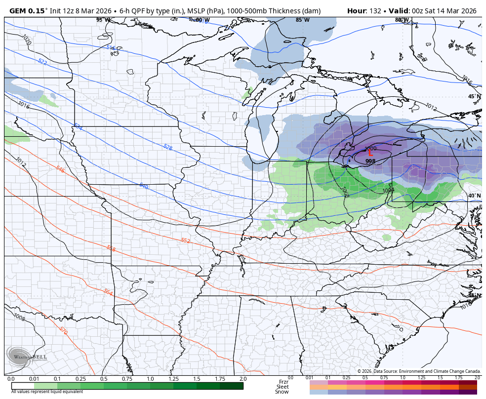
Temps jump right back up Friday into next weekend and could make a run at 70 again. That’s ahead of another storm system that may have a more pronounced winter look behind it into the following week. The Canadian Model is ugly for us #TeamSpring folk…
The full update comes your way later tonight, so check back. Until then, have a great evening and take care.
