Good evening, everyone. A Wind Advisory is now out for much of the region tonight and Friday. That’s for the first of two big wind blasts with the other bringing some winter weather behind it by Sunday night and Monday.
Winds late tonight and Friday will reach 40mph to 50mph at times with the chance for 50mph+ winds for some. The Hi Res NAM and HRRR wind gust forecasts are way up there…
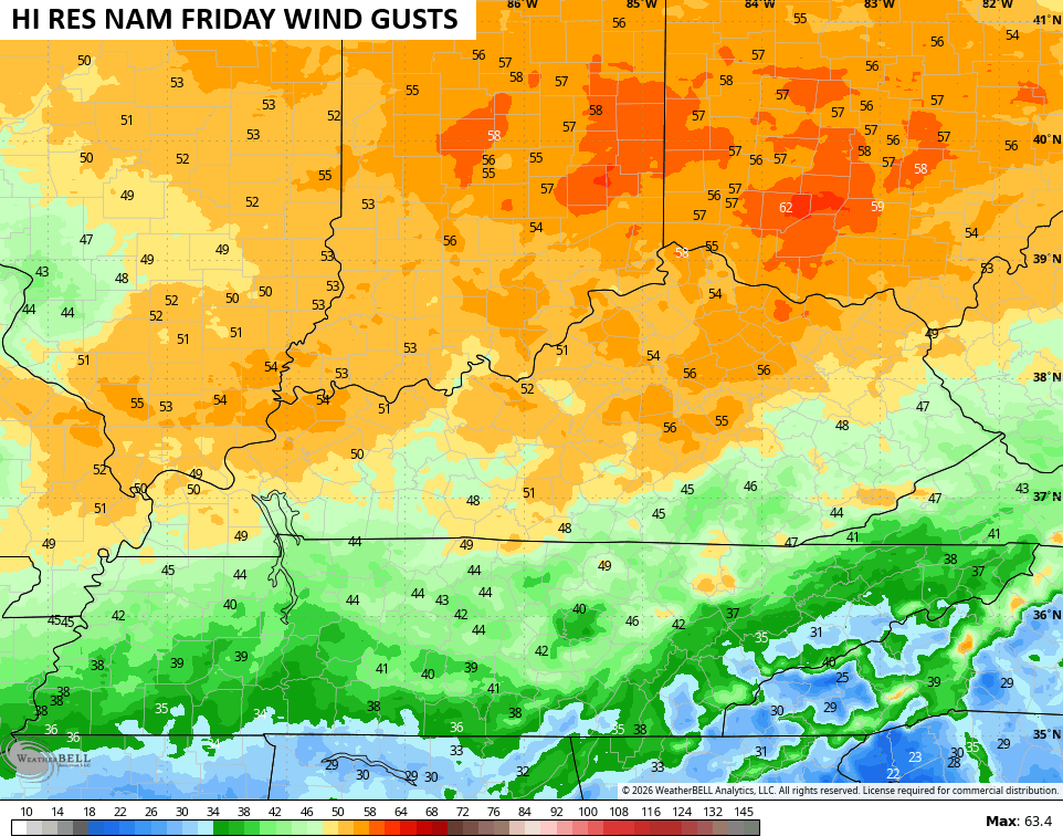
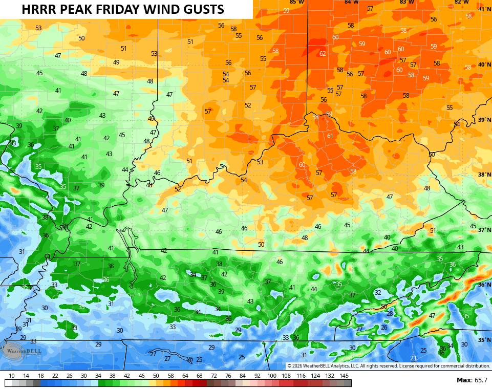
That may cause some wind damage, folks.
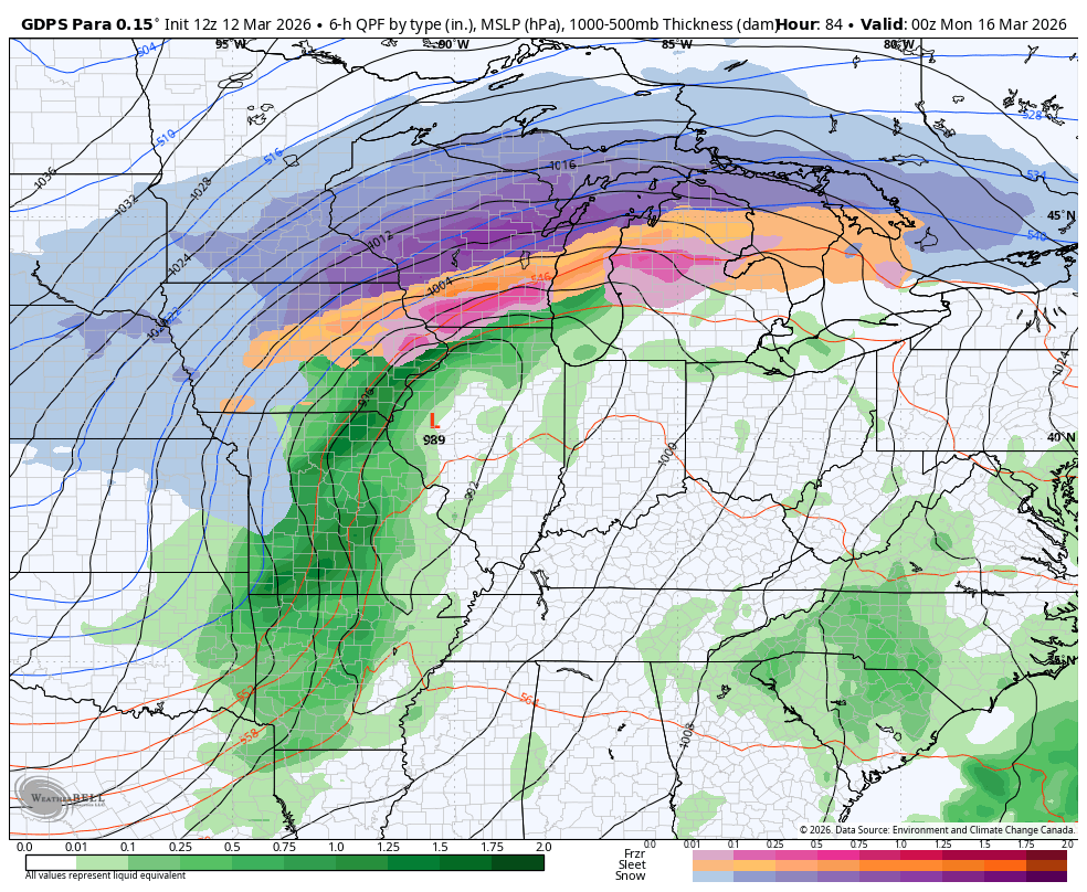
The rest of Friday into Saturday looks good before another big wind system blows in for Sunday. Highs on Sunday spike into the 70s with 40mph to 50mph wind gusts as a major low cranks from the Plains to the Great Lakes. This will have a blizzard along and north of track of the low.
For us, we go from strong storms to snowflakes in a matter of a few hours with lingering snow showers and flurries through Monday into early Tuesday…
Barney is growing…
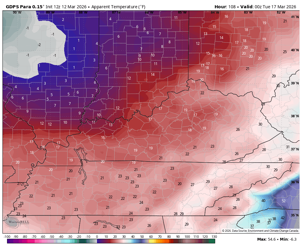
Bitterly cold wind chill show up with single digits Monday night and early Tuesday. This animation goes from Monday evening through Tuesday evening…
The full update comes your way tonight. Have a good one and take care.
