Good evening, everyone. It’s a gorgeous Saturday that’s wrapping up as we turn our attention toward the big system moving in late Sunday and Monday. This brings severe weather, a major temp drop and some snow into Kentucky.
In the overall scheme of things, I have no changes to how everything plays out.
The potential continues for a significant severe storms event across western and parts of central Kentucky Sunday evening into the wee hours of Monday morning. This will be followed by a major temperature drop with snow showers and a few snow squalls showing up.
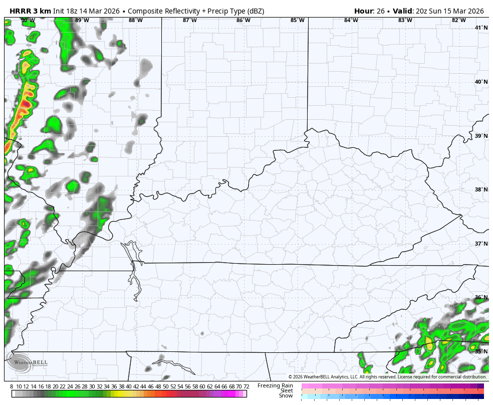
The future radar from the HRRR has us covered from Sunday evening through the middle of Monday afternoon…
The Storm Prediction Center continues to edge the Enhanced Risk for severe weather a bit farther east…

The risk for tornadoes continues to show up with the highest risk across the west…

The damaging wind risk is way up there…

Temps tank behind this. Highs go from the 70s on Sunday afternoon to wind chills in the teens by the time many of us wake up Monday morning and those numbers continue into the afternoon. Here’s the “feels like” forecast from the HRRR from Sunday afternoon through 2pm Monday…

Single digit wind chills show up Monday night and Tuesday morning.
The full update comes your way tonight. Until then, here are all the storm tracking tools you need…


Current watches

Possible Watch Areas

Make it a sensational Saturday and take care.
