Good Friday, everyone. The weather out there today looks superb with mild winds and just the chance for some storms in the east. The setup for the weekend is about as warm looking as you can get this time of year and may break records. That will be ahead of some big storms and a cold front.
Temps today reach the 70s for the entire state with 80 possible in the west. The chance is there for a storm or two oin up across the east and there’s the slight chance for a few strong storms. As a matter of fact, the Storm Prediction Center has a low-end risk for a few severe storms in the northeast…

Highs Saturday reach the upper 70s to low 80s with a few areas in the west pushing 85 degrees.
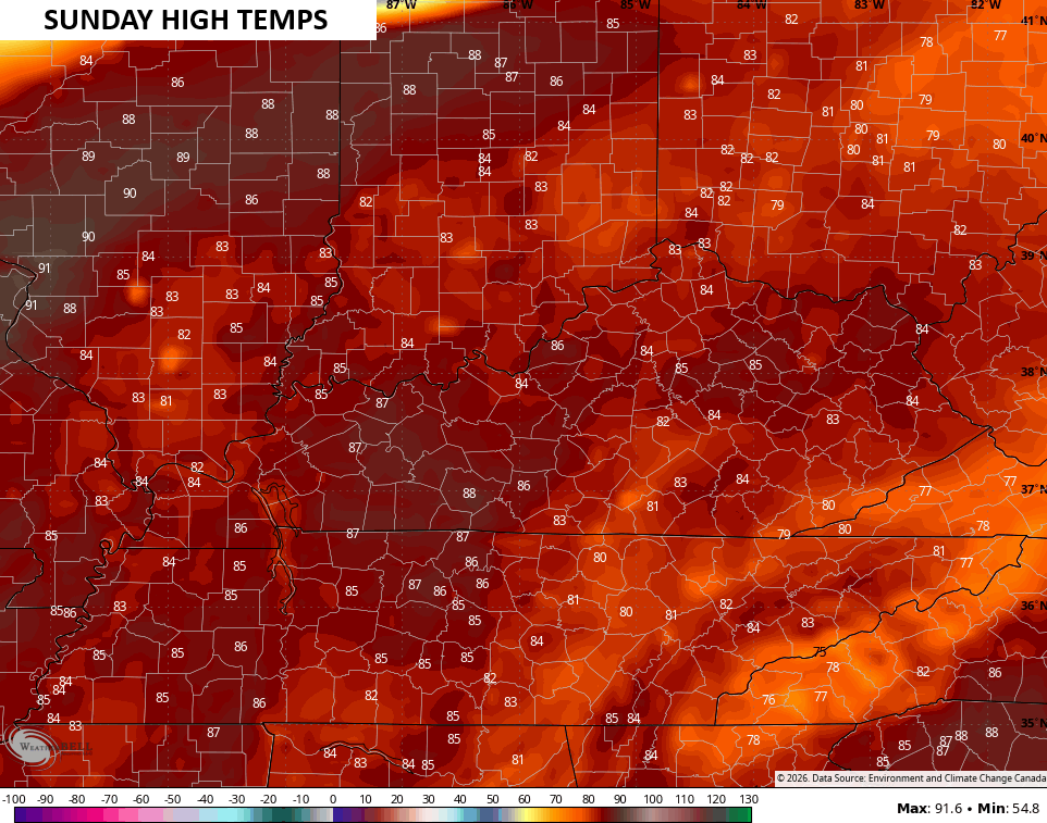
This brings us to Sunday and what may be one of the warmest March days on record for the state. We’ve only had a hand full of days with temps approaching or hitting 90 and those were in the west and southwestern parts of the state. Louisville’s all time March high temp is 88 degrees with Lexington at 86. With enough sun, we may get within range of those numbers.
The Canadian has had the best handle on temps of late and it’s spitting out some serious warmth for Sunday…
This surge of summer is ahead of a cold front dropping in here Sunday night and early Monday. This brings a line of showers and storms across the state…
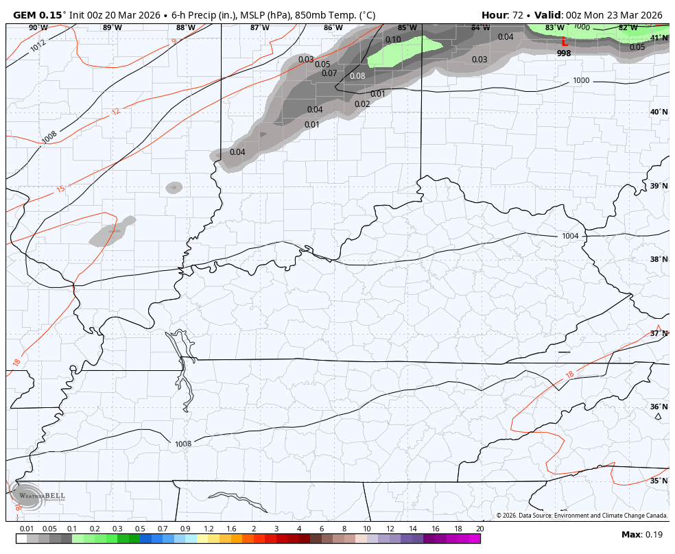
A few of the storms may contain damaging winds and large hail. Here’s the Severe Weather Outlook from the Storm Prediction Center on Sunday…

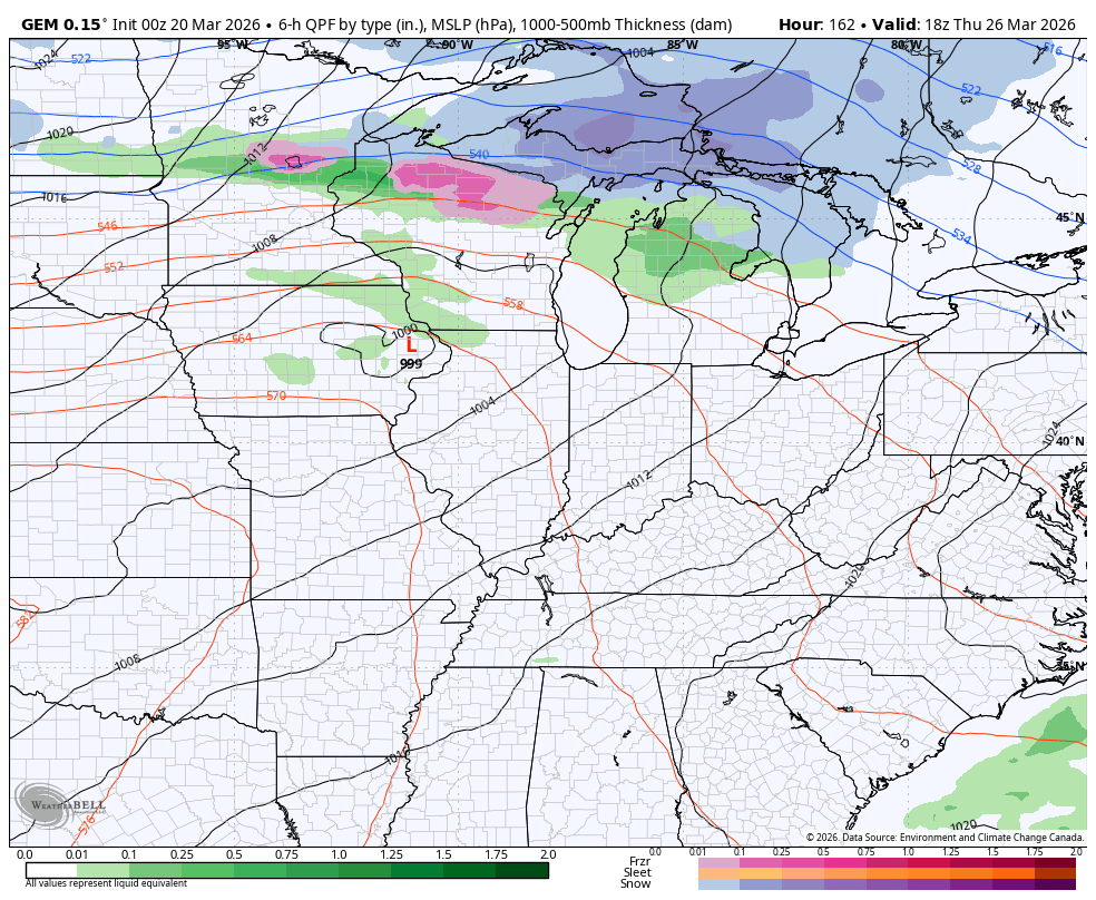
Much cooler winds will blow, taking us back into the 50s for Monday and Tuesday. Temps should jump right back up later in the week ahead of another cold front. That may knock the numbers down again next weekend…
I’ll drop by for another update later today. Until then, I have you all set to track whatever storm action goes up today…


Current watches

Possible Watch Areas

Make it a fantastic Friday and take care.

Thanks Chris. Looking Forward To The Warmer Temperatures, But I Hope It Doesn’t Come With Another Severe Storm Threat Late Sunday Afternoon. The Hard Freeze We Had The Other Morning Did Destroy The Early Blossoms Of The Bradford Pears And The Native Serviceberry, But the Trees Will Grow Normally This Growing Season. Happens Every Year Folks. Maybe We Will Escape The Notorious ” April Freeze, ” So All Will Be Able To Enjoy The Azalea Blossoms In May. Native Rhododendrons In The Mountainous Areas Of Southeastern Kentucky Most Always Bloom In Early June.
We will be fine.
Here is the link for the summary of the wild weather (heavy rain, heavy snow, strong winds) the Chicago Metro Area saw this past Sunday and Monday. https://weather.gov/lot/2026_03_15-16_Multifaceted_Storm
Pretty much boring weather expected here for at least the next several days after all the crazy weather we experienced last week.
Enjoy the warm Spring Temperatures!