Good Wednesday, everyone. Milder winds continue to kick in today as we get set to surge back into record high territory for Thursday. This is ahead of potent cold front that brings a massive drops in temps behind it later Friday.
Temps today are in upper 60s and low 70s for many. Winds are gusty with a mix of sun and clouds.
A few storms may drop in from the northwest tonight and early Thursday and a couple may be strong.
Once this moves away, we jump back into the 80s for most of the state…
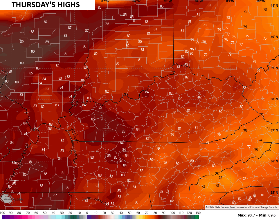
That would break records for most of the state, especially central and west.
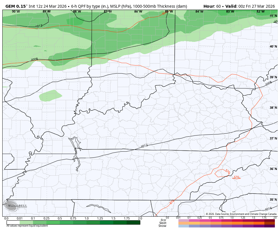
Thursday afternoon and evening look dry as a line of showers and thunderstorms hangs to our north. That’s where the Storm Prediction Center has highlighted for the severe storms threat…

That threat likely diminishes the father south the line gets into Friday. Here’s the Friday Severe Weather Outlook from the Storm Prediction Center…

This action doesn’t really impact most of the state until Friday morning into the afternoon…
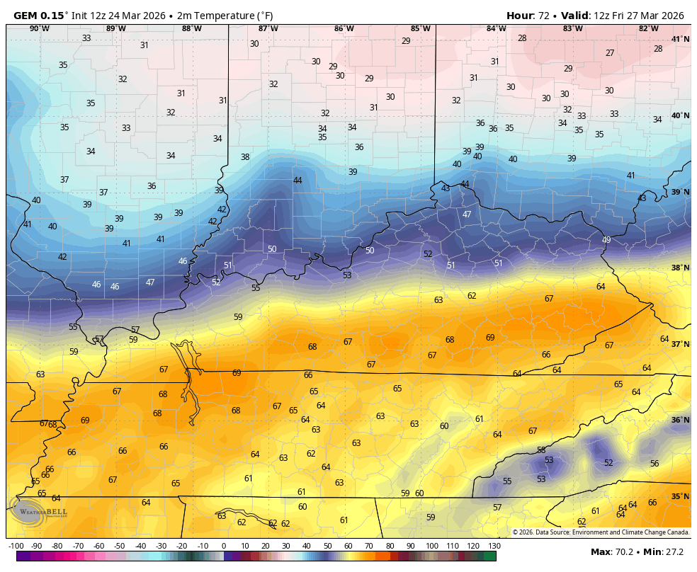
Temps will absolutely get crushed behind this boundary. Readings will drop rapidly from north to south as the front slams through. Areas that start the day in the 70s will drop into the 40s by the afternoon with 20s waiting on us Friday night and Saturday morning. This animation shows the temps from 8am Friday through 8am Saturday…
Highs on Saturday stay in the 50s.
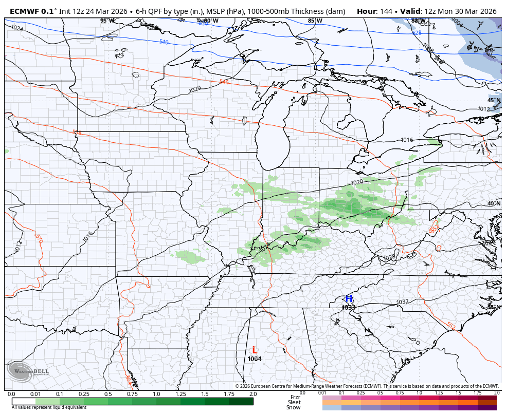
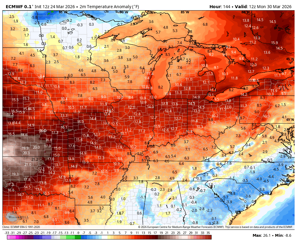
We quickly return to the 60s by Sunday with the 70s showing up by Monday and those should stay with us through much of the first week of April. It’s a setup that can also lead to periods of stronger thunderstorms…
Above normal temps look more likely, but those below normal numbers behind the fronts will boost the severe storms threat. Here’s a look at the temperature deviations from normal from Monday through the first week of April…
Make it a wonderful Wednesday and take care.

Be glad when the warmth stays.