Good Sunday to one and all. Temps are climbing and the birds are chirping as we get closer to the end of March. As the temps continue to rise, it’s setting us up for a rather stormy pattern as we head into early April.
Temps today reach the 60s this afternoon with partly sunny skies. Temps then surge into the 70s for Monday then near 80 for Tuesday. This is when the first in a series of storms threatens the region.
Here’s a breakdown:
- Warmer than normal temps will be noted across Kentucky from Tuesday through next weekend.
- Our region will be situated in the battle zone between spring temps from here and south with a much colder scenario across the Plains and north.
- Several storm systems will be rolling from the Plains toward the Midwest and Great Lakes during this time.
- Rounds of showers and thunderstorms will roll across the state, but this won’t be constant.
- Some of these storms may be strong or severe.
- The potential for, at least, local flash flooding issues will be with us during this time as a lot of rain may fall.
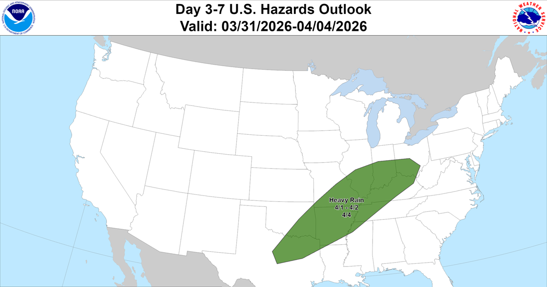
I have no issues with the heavy rain area being highlighted by The Weather Prediction Center…
The Euro gives us a good look at all the action rumbling through our region from late Tuesday through next weekend…
This pattern may take a break for a few days before it fires right back up a few days later. This animation is for April 8-12…
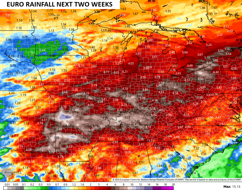
The rainfall numbers from this run of the EURO shows the heavy rain concern for the next few weeks…
Make it a great Sunday and take care.

Thus far, the rain has not panned out quite as much. Hopefully Joe and Schroeder get rain soon.