Good Tuesday, everyone. It’s the final day of March and we are sending the month out on an appropriate note… Warm. This goes down as one of the warmest March’s on record for many cities and the state as a whole and this warmth hangs into the first few days of April.
Temps out there today hit 80-85 in many areas on a strong southwest wind gusting 30-35mph at times. A few record highs may fall yet again. There’s the smallest chance for an isolated shower or storm going up.
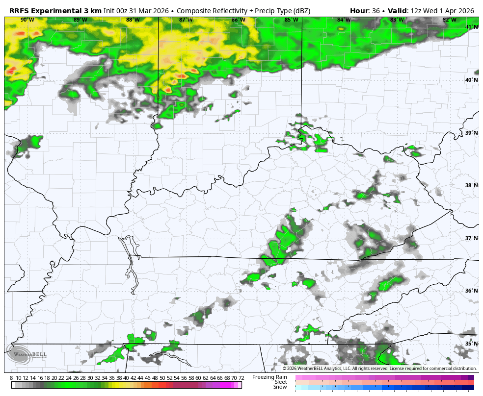
Highs are back into similar territory on Wednesday with a slightly better shot at a few storms cranking, especially later in the day. You can see these going up on the future radar…
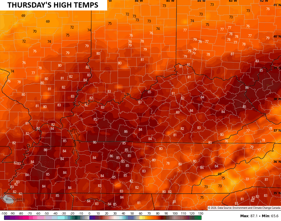
Thursday will be another incredibly warm day with record highs in the low to middle 80s likely…
Record highs will be possible again Friday and Saturday as temps reach the 80s. There’s still the slight chance for a shower or thunderstorm going up.
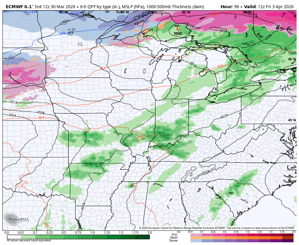
This is ahead of a potent storm system rolling at us over the Easter Weekend. This brings a slow-moving cold front across the state Saturday night into early Easter Sunday. This means showers and storms will be along and ahead of the front with gusty showers and rapidly falling temps behind it. This animation goes from Friday through Monday morning…
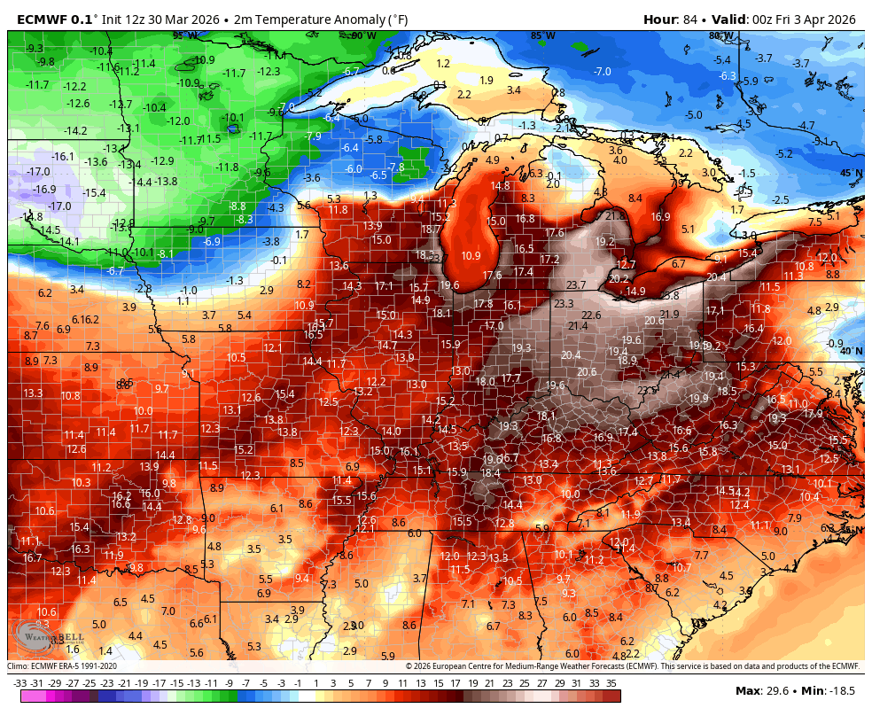
Watch how the temps go from much above normal to much below normal once the front passes…
Frost and a light freeze will be possible Sunday night and again Monday night.
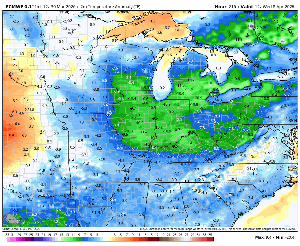
The EURO takes us back above normal later next week…
I leave you with your Kentucky Weather Radars to follow along with any shower or storm going up today…

Have a terrific Tuesday and take care.

I’ll take it.