Good Sunday and Happy Easter, everyone. Our cold front is exiting the eastern part of the state early today and it’s taking the rain with it. This leads us into a cooler, but pretty nice holiday afternoon. Looking ahead, we see another big surge of temps on the way in the week ahead.
Speaking of a spring surge, the one we’re coming out of was historic on many levels. Take a look at the start of April for Lexington…
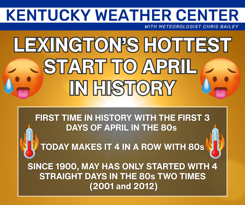
That’s pretty incredible when you stop to think about it, folks.
That streak does end today with highs in the upper 50s to low 60s with partly sunny skies and a cool west to northwest wind.
A light freeze and some frost will be possible tonight and Monday morning and we may do that again Tuesday and Wednesday mornings. Temps surge toward 70 by Wednesday then into the 70s for Thursday and Friday.
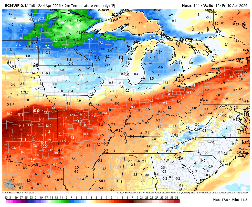
The EURO keeps us dry during this time before it tries to bring a more active setup later in the weekend through the following week…
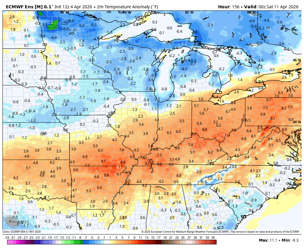
The pattern is likely to flirt with additional record highs that would give way to a mid-April frost threat and the temp anomalies from the EURO show the potential…
The EURO Ensembles aren’t as enthusiastic with that mid-month cold shot, but they do see below normal temps for a short period…
I’ll be talking about May and the summer ahead in updates coming your way throughout the week ahead.
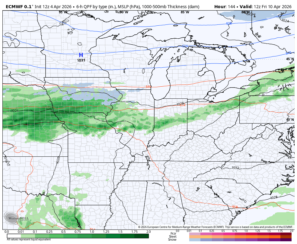
I leave you with your radars to track the early day rains out of eastern Kentucky…

Make it a great Easter Sunday and take care.
