Good Tuesday, everyone. A spring chills is in the air out there today and will carry us into the start of Wednesday before things flip around. Milder air will then give way to warm winds for the weekend into early next week.
Some patchy frost is possible out there this morning, but gusty winds will likely preclude anything more than that. Temps this afternoon are mainly in the 50s with a mix of sun and clouds.
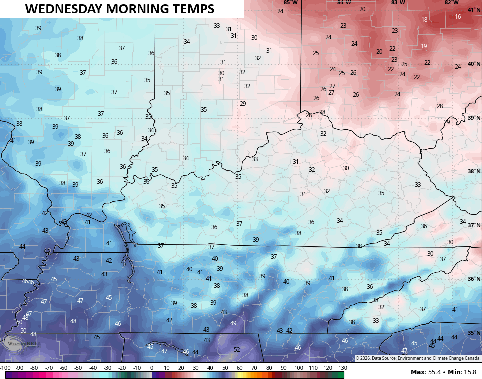
There’s a much better chance for frost and a light freeze tonight and Wednesday morning as temps reach the upper 20s and low 30s…
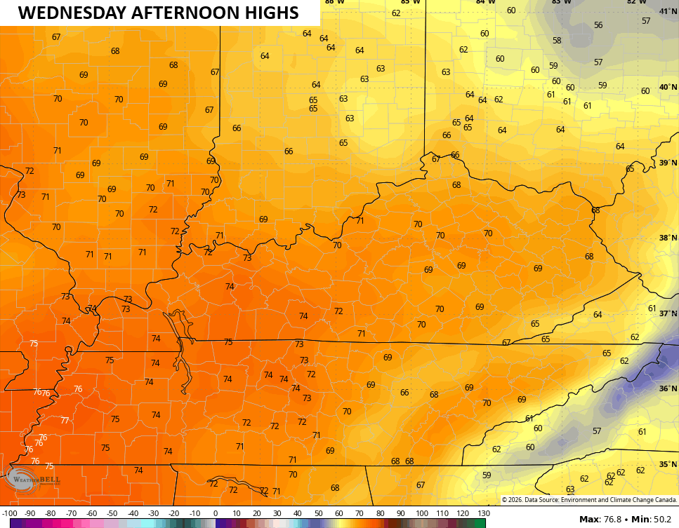
Winds become southwesterly Wednesday afternoon with a rebound in temps. Highs reach the upper 60s to low 70s for central and eastern Kentucky
Temps keep climbing Thursday and Friday with 70s across the board. Highs over the weekend will surge toward the 80s by Sunday and may be close to records once again.
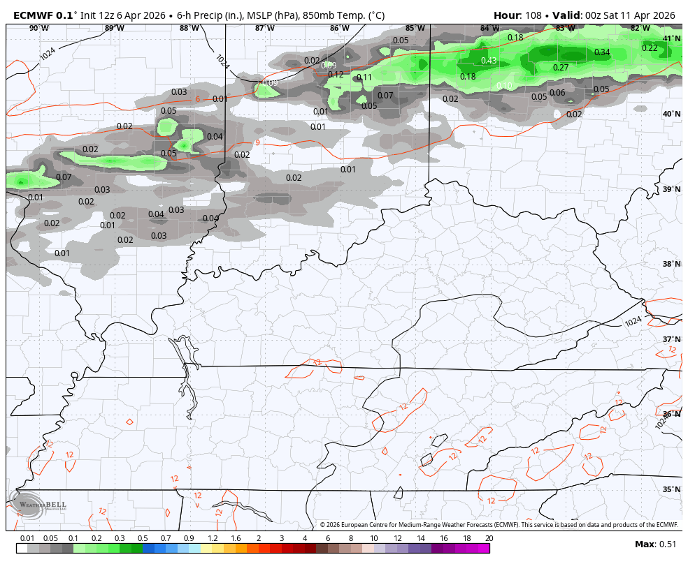
What about rain chances? I’m not overly optimistic about much rain showing up, but the EURO is showing the chance for some scattered storms Saturday then again on Monday…
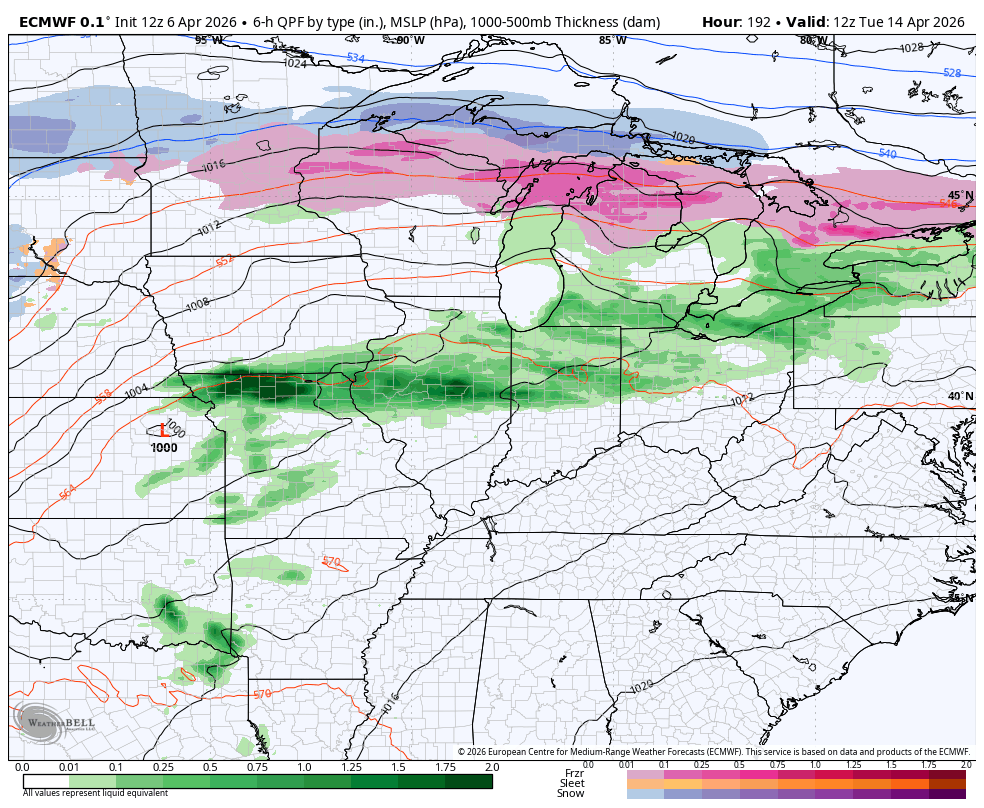
The EURO tries to increase the thunderstorm opportunities later next week into the start of the following week…
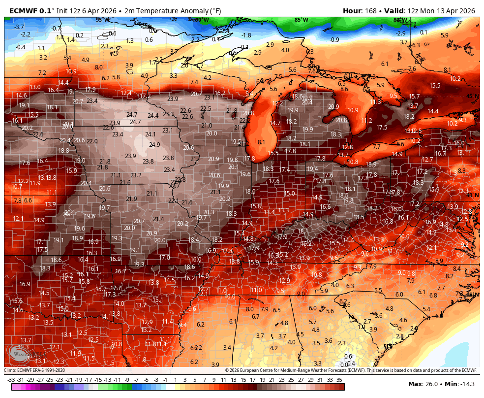
The pattern is skewed VERY warm, but the EURO does see a shot of colder air in there…
Have a great day and take care.
