Good Friday to one and all. Those mild winds are about to turn flat out warm as summer air surges back into the Commonwealth later this weekend into next week. This pattern will start to spit out some scattered showers and thunderstorms from time to time as well.
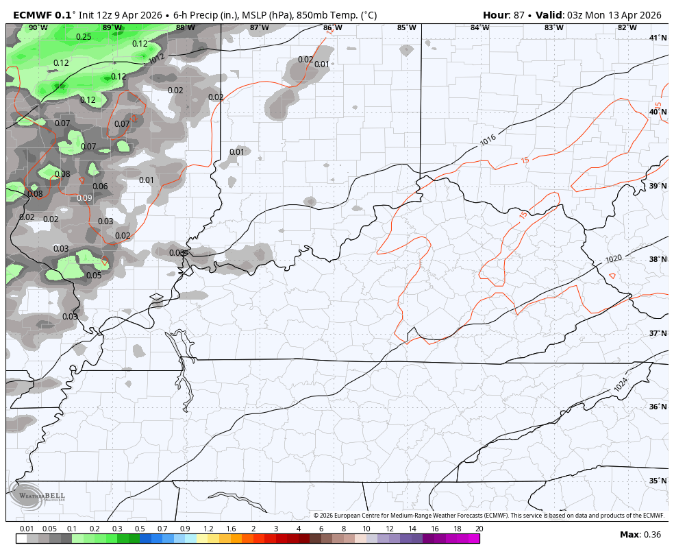
Let us begin with our Friday and hit the fast forward button. Highs today range from 75-80 in most areas on a gusty southwest wind kicking in ahead of a weak boundary dropping in from the northwest. This boundary will touch off a shower or storm later this evening into early Saturday, but this doesn’t look terribly widespread.
Highs on Saturday are generally in the 70s.
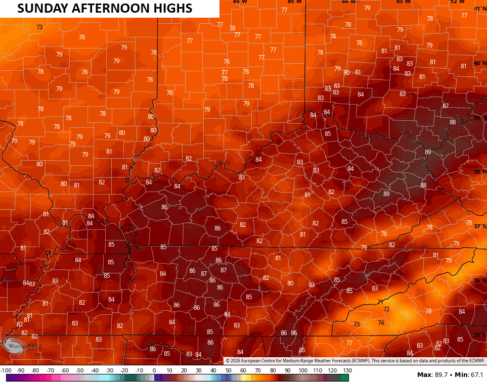
Sunday finds temps closing in on record highs with readings deep into the 80s…
These are summertime temps and those look to hang tough into much of next week.
Some scattered showers and storms also show up starting Monday into Tuesday…
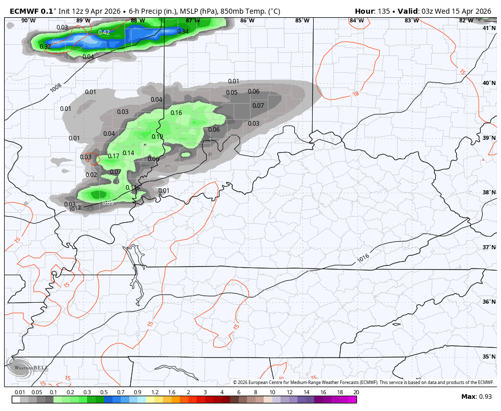
The pattern after that tries to throw a few more storms at us later next week into early the following week…
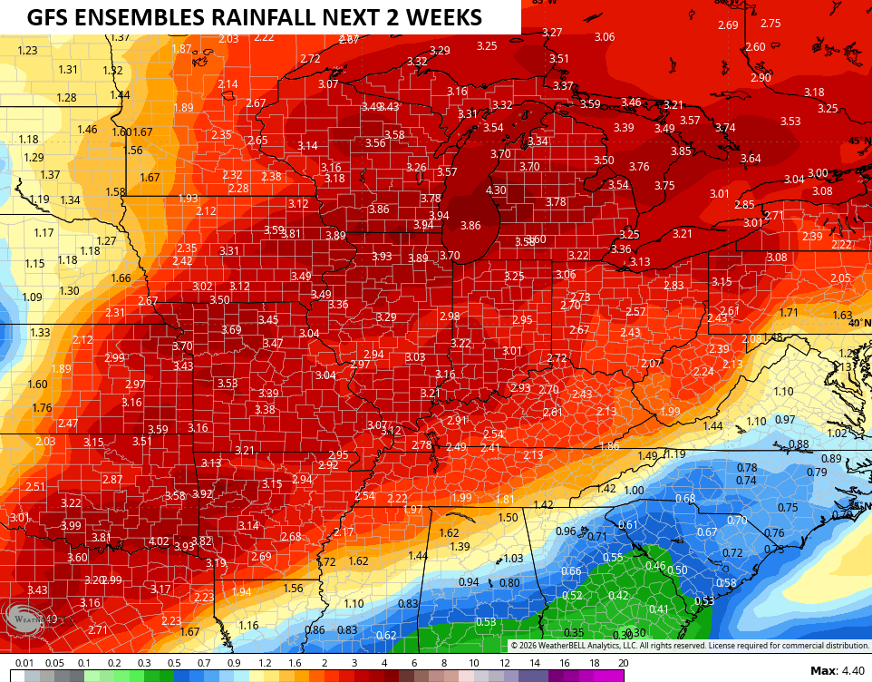
The EURO Ensembles have a little wetter look than before as we head into the next two weeks…
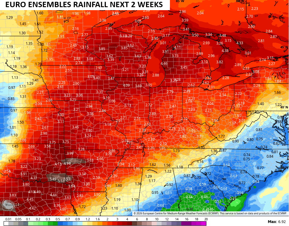
That matches what the GFS Ensembles have been showing for the past few days and continue to do so…
I leave you with your Kentucky Weather Radars to track any shower or storm working in from the northwest…

Make it a fantastic Friday and take care.

As always, we shall see.