Good Saturday, everyone. The weekend is off and running with a weak cold front on top of the region. This is spitting out some isolated showers and storms today before it heads back to the north as a warm front. That’s when a true summertime look and feel engulfs our region.
As mentioned, any shower or storm showing up today is rather spotty, so don’t get your rain hopes up. Highs are down several degrees from Friday but should still be in the 70s.
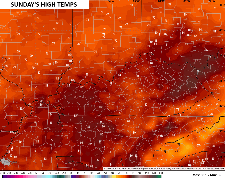
Record or near record highs will show up Sunday with lots of low to middle 80s. A few upper 80s will be more than possible…
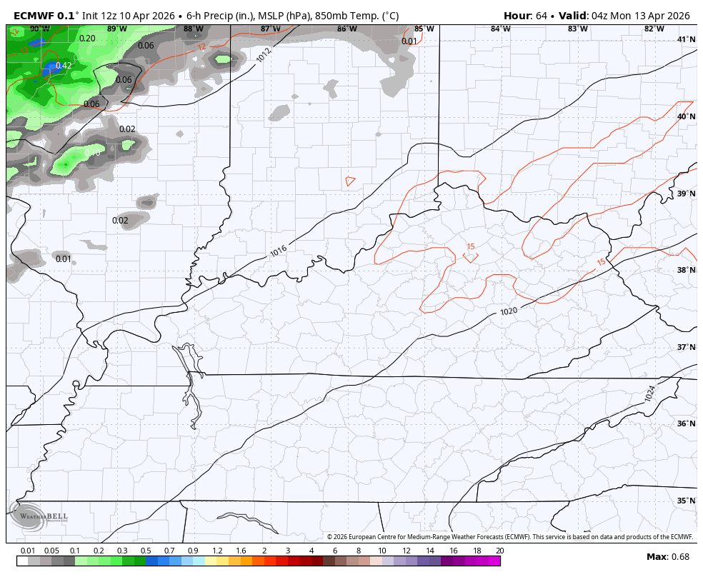
A better shot for some showers and storms come into town by Monday and Tuesday, but these are still rather scattered…
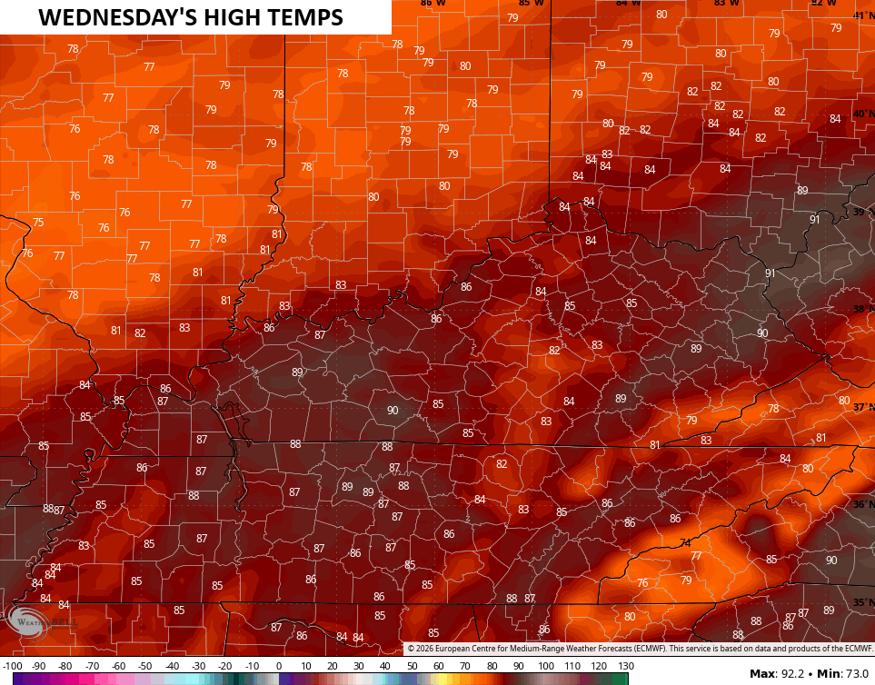
Highs range from the upper 70s to middle 80s Monday and Tuesday with a legitimate chance to push 90 degrees if we can get enough sunshine on Wednesday. The EURO sees this possibility…
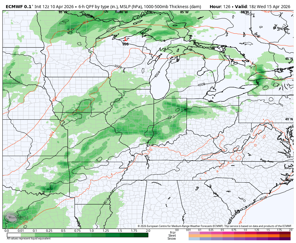
The EURO then brings a stout cold front in here next weekend, but this looks a little overdone…
I leave you with your Kentucky Weather Radars to track any shower or storm out there early today…

Make it a sensational Saturday and take care.
