Good Monday to one and all. Scattered showers and storms are with us for part of the day, but the focus of the forecast is on record heat in the coming days. Thermometers make a run at 90 degrees before the threat of frost and/or light freeze show up. Wait. What?!
Let’s begin with our Monday and roll forward. Highs today are in the mid and upper 70s with a few low 80s for some. Scattered showers and storms are rumbling through the first half of the day with scattered being the key word.
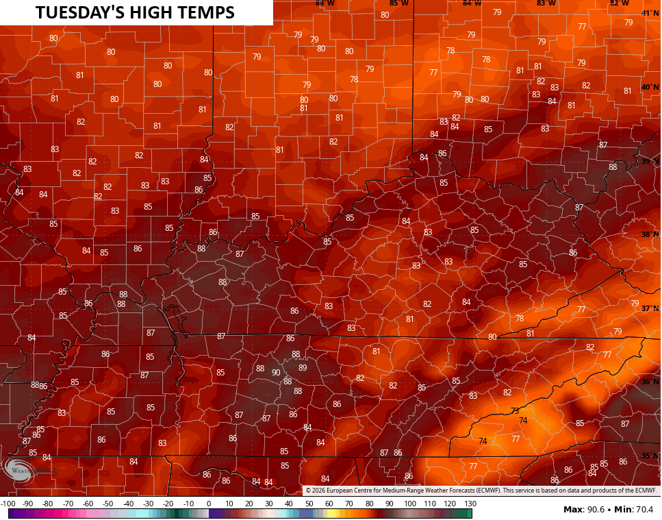
As those storms move way, we find temps jumping up to summertime levels for the rest of the week into the start of the weekend. Tuesday highs are deep into the 80s…
Wednesday is the day when some 90 degree temps show up with most of the state in the 85-90 degree range…
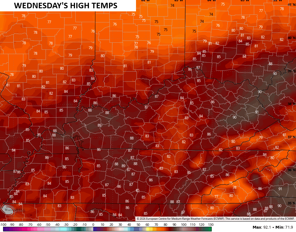
This would be some of the earliest 90 degree temps in recorded history.
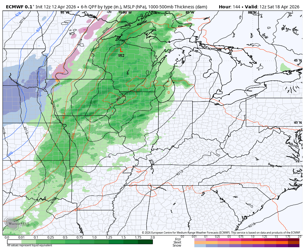
A weak system pushes through here Wednesday night and Thursday with scattered showers and storms coming along for the ride…
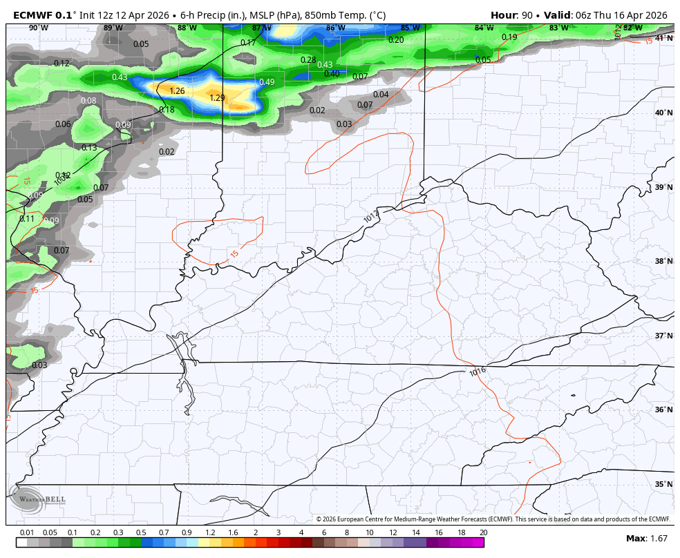
Temps come down into the 70s for highs with the chance for a strong storm or two in this setup.
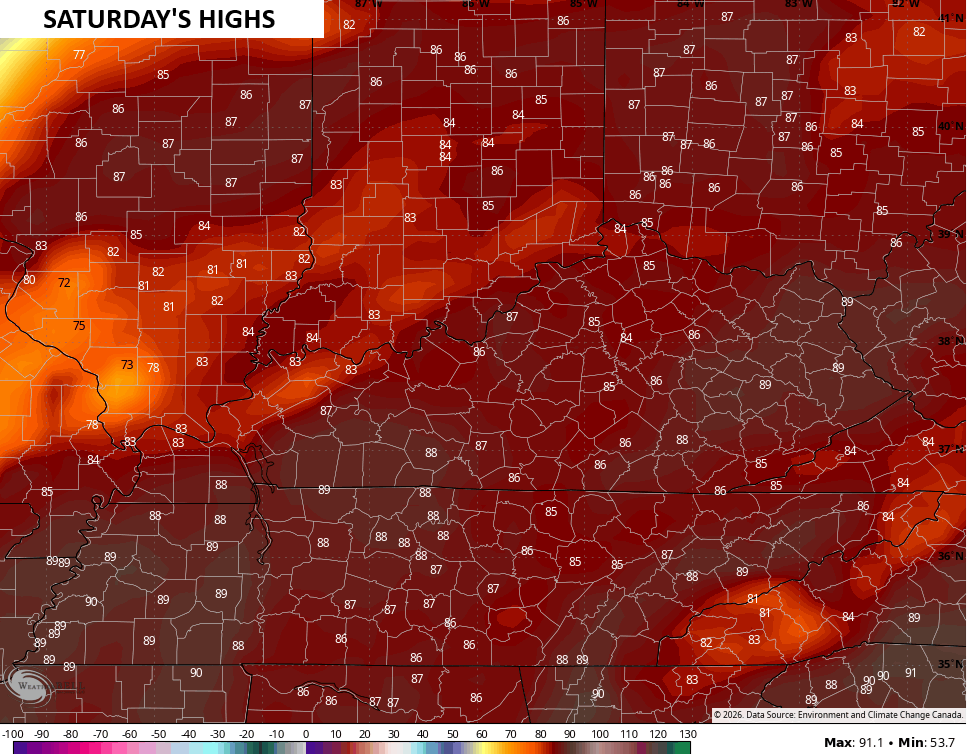
Friday has the temps back into the 80s with another massive jump into the mid and upper 80s for Saturday…
That’s ahead of a potent cold front that will bring showers and some storms ahead of it and a MAJOR temp drop behind it…
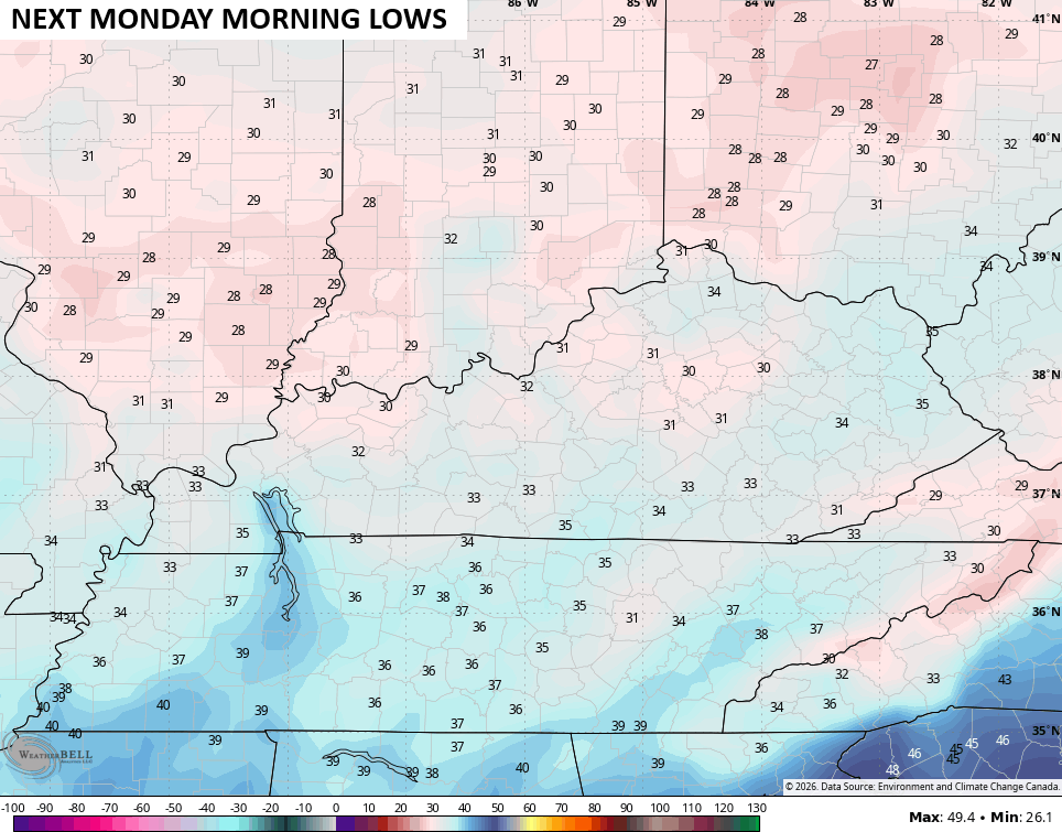
Highs on Sunday are in the 50s on a cool northwest wind. With clearing skies and light winds, frost and a light freeze will be possible Sunday night and Monday morning. That’s when temps may be at or below the freezing mark…


Make it a magnificent Monday and take care.

They must have changed the colors for temps as I remember those dark reds being 100s, now it’s 80s?
The temperature drop is normal for April, not major at all.
Nothing real normal for spring so far, high temps little rain. Its like August!!!!
The Chicago Metro Area is under the bullseye again for a major severe weather outbreak on Tuesday, as all of Northern IL is in the enhanced risk (level 3 of 5) of severe weather.
We’ve had several severe weather events here since March, a lot more than you guys in KY have seen.