Good Thursday, everyone. Some showers and storms are rumbling across parts of the state today and a few could be strong or locally severe. This is ahead of a stronger system arriving for the weekend, bringing some storms and a touch of frost behind it.
Today’s showers and storms aren’t widespread and that means not everyone sees rain. Still, the chance is there for a few strong or severe storms and the Storm Prediction Center is highlighting the low-end severe risk out there today…

Temps range from the upper 70s to low 80s.
Friday is a super windy and warm day with highs in the 80s. There is the chance for a few storms going up across the west late in the day or evening.
This brings us to an active Saturday. A potent storm system works from the upper midwest into the Great Lakes, dragging a cold front through Kentucky by evening. Showers and storms will be along and ahead of this front with a massive temperature drop coming in behind it Saturday night and Sunday…
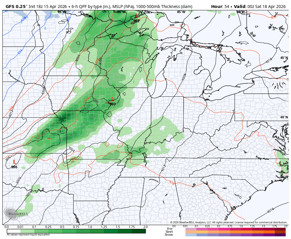
The threat for severe storms will show up across parts of the region, especially the farther north we go. Here’s the Severe Weather Outlook for Saturday from the Storm Prediction Center…

Highs Sunday stay in the 50s for most with frosty cold 30s on tap Sunday night and Monday morning.
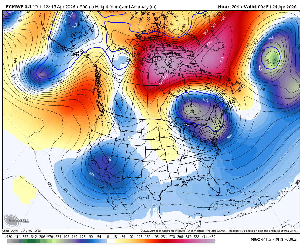
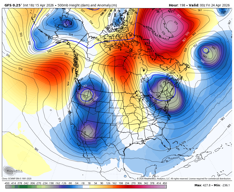
Temps rebound quickly into the 70s by Tuesday and stay there through much of next week. As this happens, the overall pattern is changing across North America with blocking showing up across the higher latitudes. This leads to deep troughs sweeping eastward across the country.
The EURO and GFS see this well for the closing days of April…
EURO
GFS
This kind of setup would lead to slow-moving systems rolling across the country with wet weather and cooler temps…
EURO
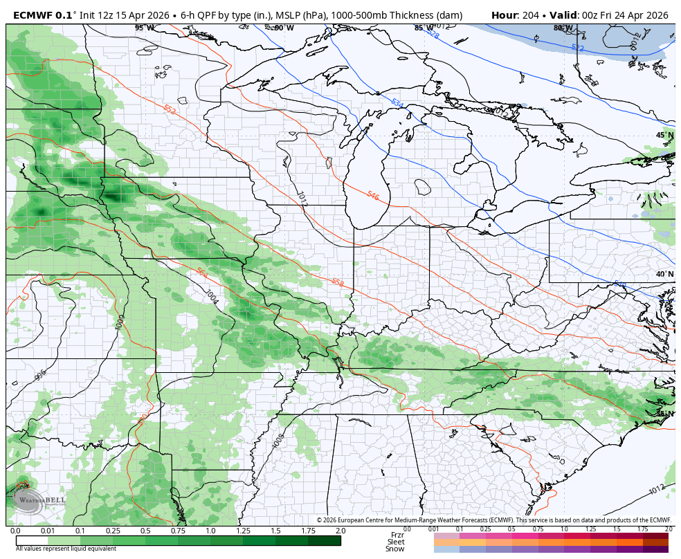
GFS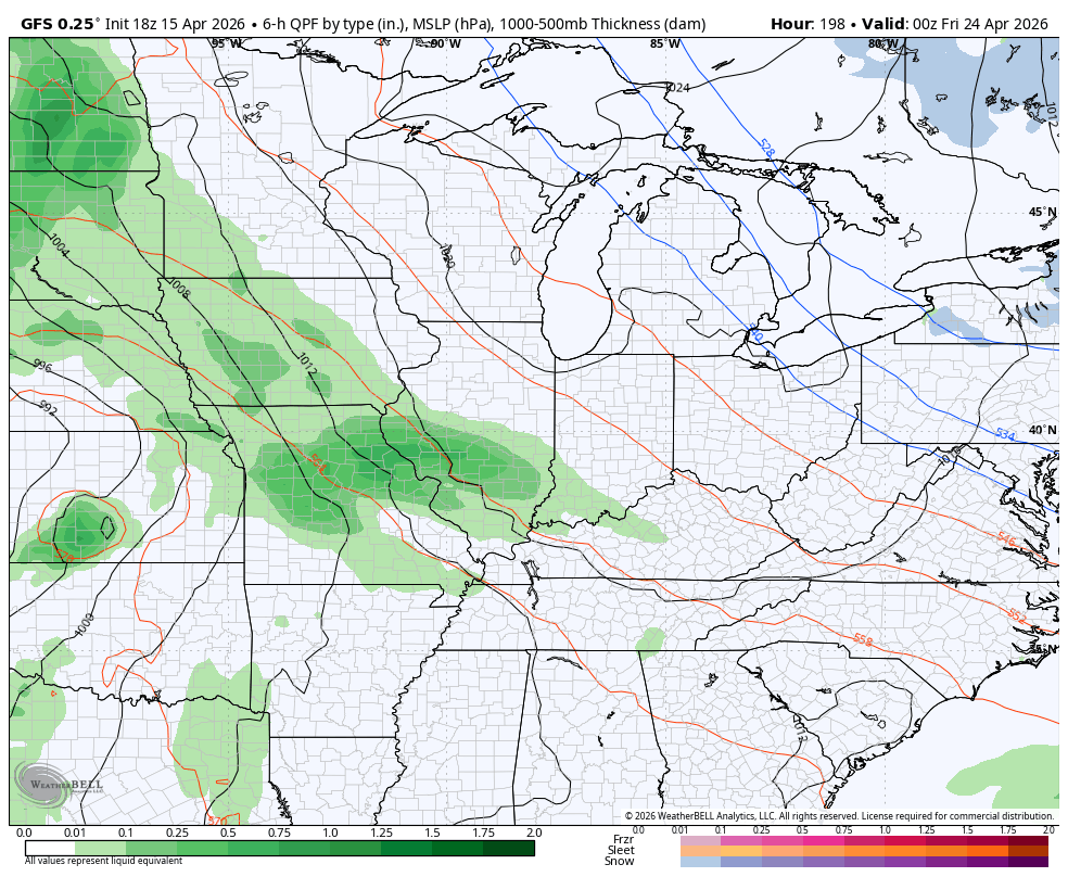
I’ll have the latest on WKYT-TV and WKYT+ later today. As always, I have you guys all set to track whatever storms go up out there today…


Current watches

Possible Watch Areas

Make it a great Thursday and take care.

I’m not buying the troughs at the end of April.