Good Thursday to one and all. We are putting the wraps on the month of April on a cooler than normal note and this hangs through Kentucky Derby Weekend. As a matter of fact, this pattern has totally reversed from the warm and dry one we’ve had for much of the spring.
Temps today are only low to mid 60s across the state with a mix of sun and clouds around. Winds will be a little gusty ahead of a weak system dropping in for Kentucky Oaks Day on Friday. This system will be able to spit out isolated showers, but the overall coverage of this is rather puny.
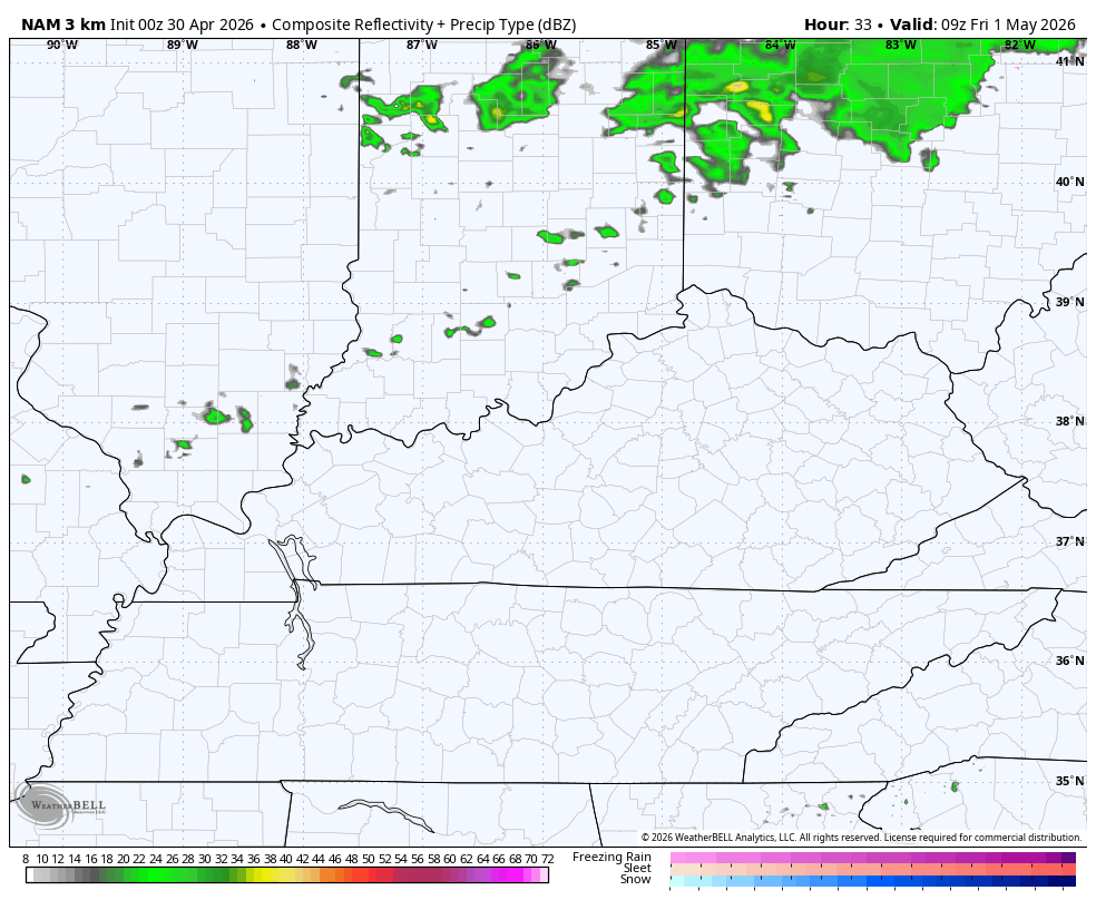
The future radar from the Hi Res NAM shows this spotty action…
Temps for Oaks Day will start in the 40s before spiking into the upper 50s to mid 60s for the afternoon. Those numbers quickly drop into the 40s again during the evening. This temp animation from the Hi Res NAM starts at 8am and ends at 11pm…

Kentucky Derby Saturday is pretty cool with highs ranging from the middle 50s to low 60s across the state. There’s the slightest chance for a shower to pop up during the afternoon and evening. Most look to stay dry with this cool northwest wind.
This sets the stage for the threat of frost coming in here Saturday night and Sunday morning as temps drop deep into the 30s. There’s the chance for a light freeze in some of the colder valleys of central and eastern Kentucky.
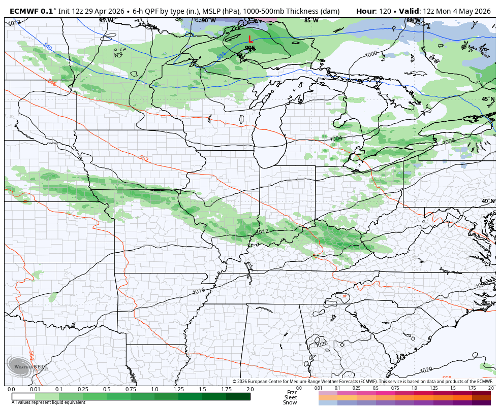
Temps briefly bounce back toward the low 70s early next week as scattered showers and storms work back in. A much more potent system may impact our weather by Wednesday with the chance for strong to severe storms. This is all part of a very active looking setup with several systems rumbling in from the west and northwest.
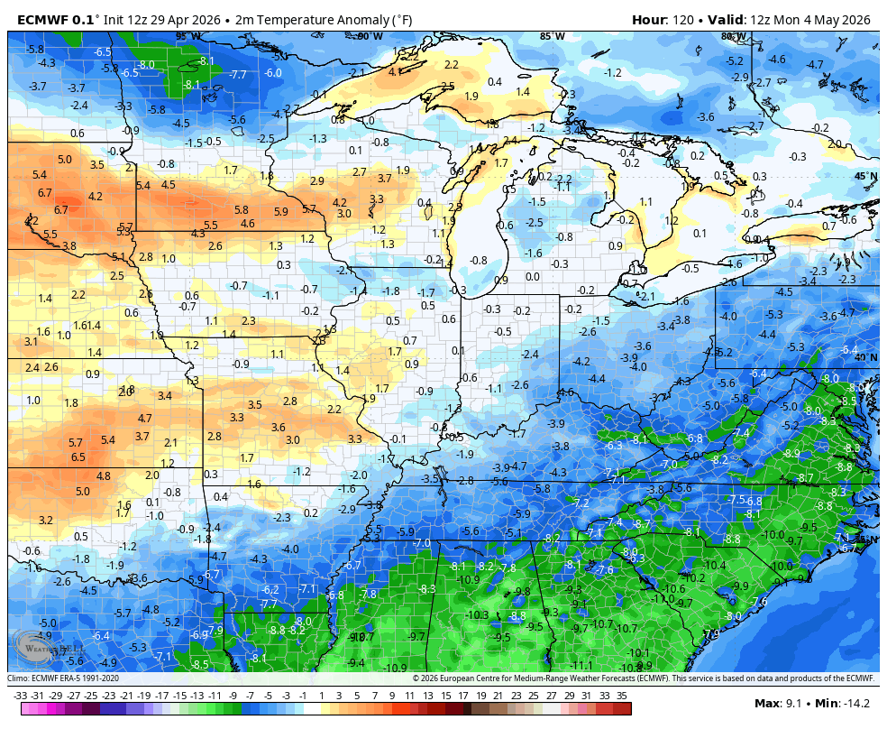
This animation from the EURO shows the 10 day period from May 4-14…
Watch the renewed cold blasts coming in during this same time period…
I leave you with your Kentucky Weather Radars to track any isolated shower or storm going up around the region this evening…

Make it a great Thursday and take care.

These are not going to be “cold blasts” and the pattern will dry out again soon, like it or not.