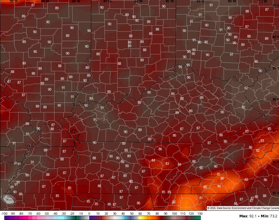
Good Friday to one and all. We have made it to the end of the week with the weekend kicking off with warm air surging in. As a matter of fact, this air turns hot for this time of year with temps nearing 90. It’s also a pattern that will feature an increase in storm chances.
Temps this morning are chilly again and may actually reach the upper 30s in the coldest valleys of the east. Highs this afternoon then hit the 70s as southwest winds kick. The chance is also there for a storm or two to go up with the best chance in the west.
This is also where the Storm Prediction Center has a low-end risk for a few severe storms…

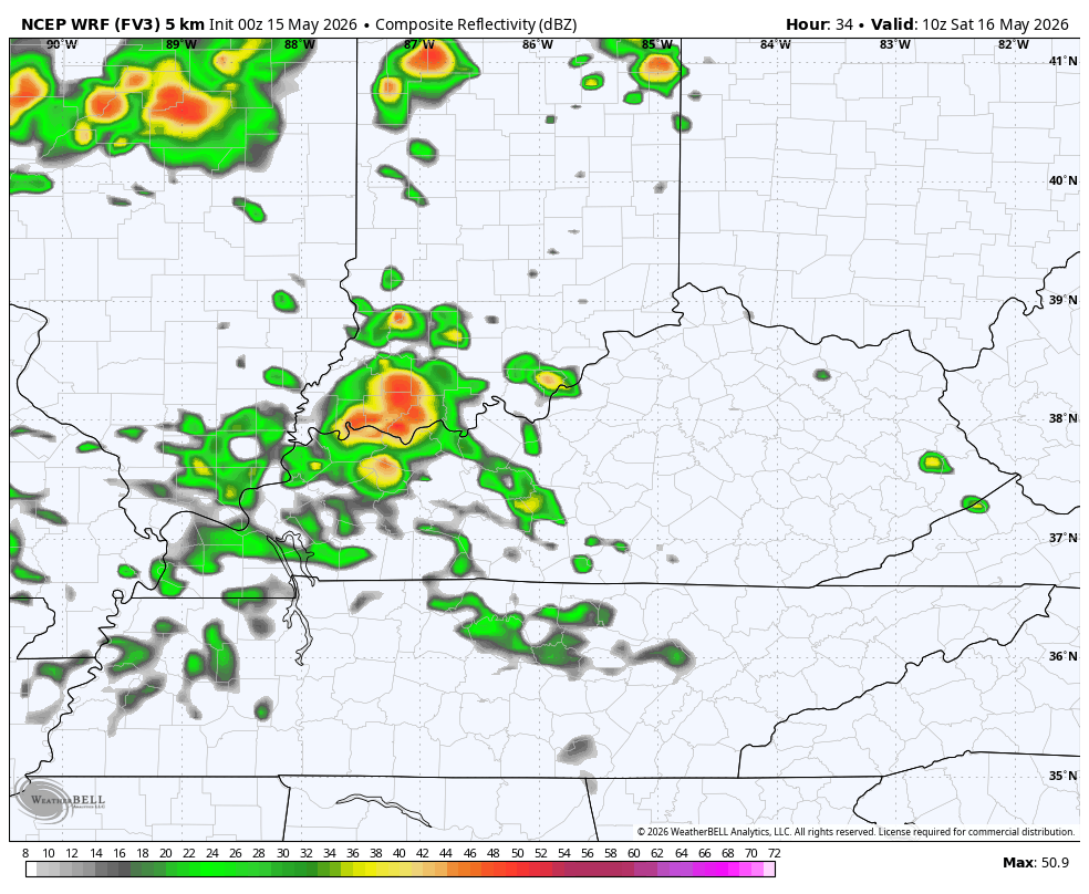
A much better chance for a few clusters of storms is there starting late tonight into Saturday. Not everyone gets in on this with the best chance for storms being across the northern half of the state. This is also where the SPC has a low-end threat for a severe storm or two…

Pockets of damaging wind would be the primary concern with these storms. Any storm that goes up will likely be pretty noisy with locally heavy rains. You can see these rounds of storms showing up on the future radar from the WRF…
Saturday temps also surge into the 80s and may push 90 in the west. From here, upper 80s and low 90s look to take control for Sunday and Monday, potentially setting us up for a few record highs to fall…
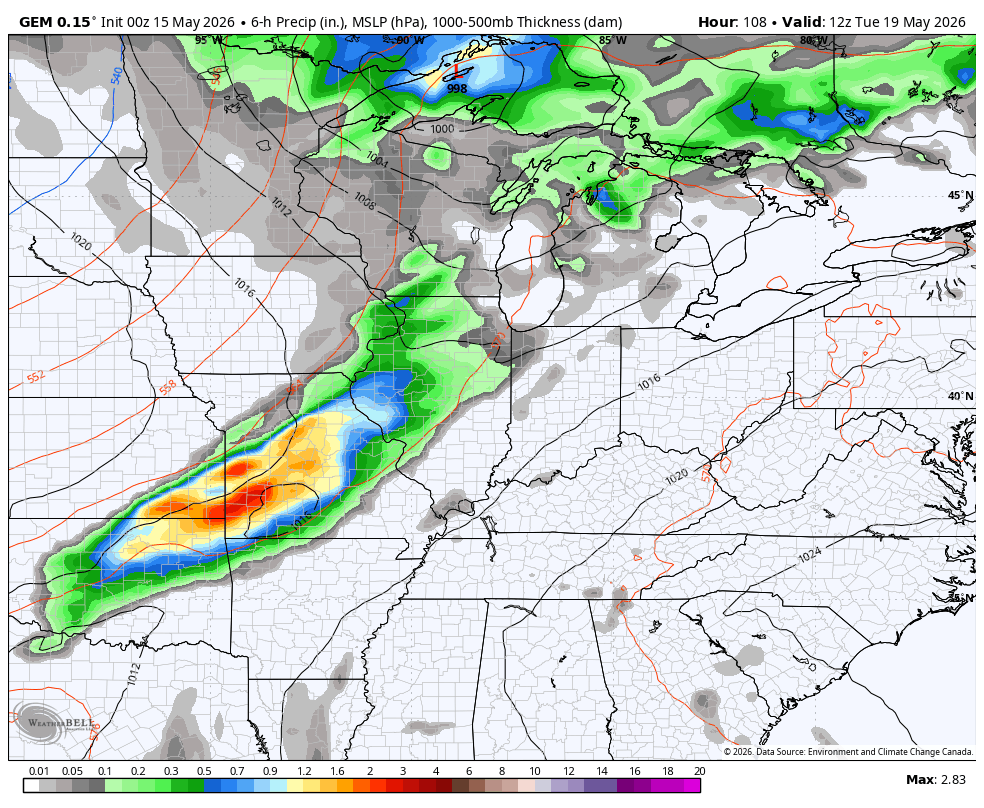
The pattern then gets more active for the rest of the week and that active setup likely carries us through Memorial Day Weekend…
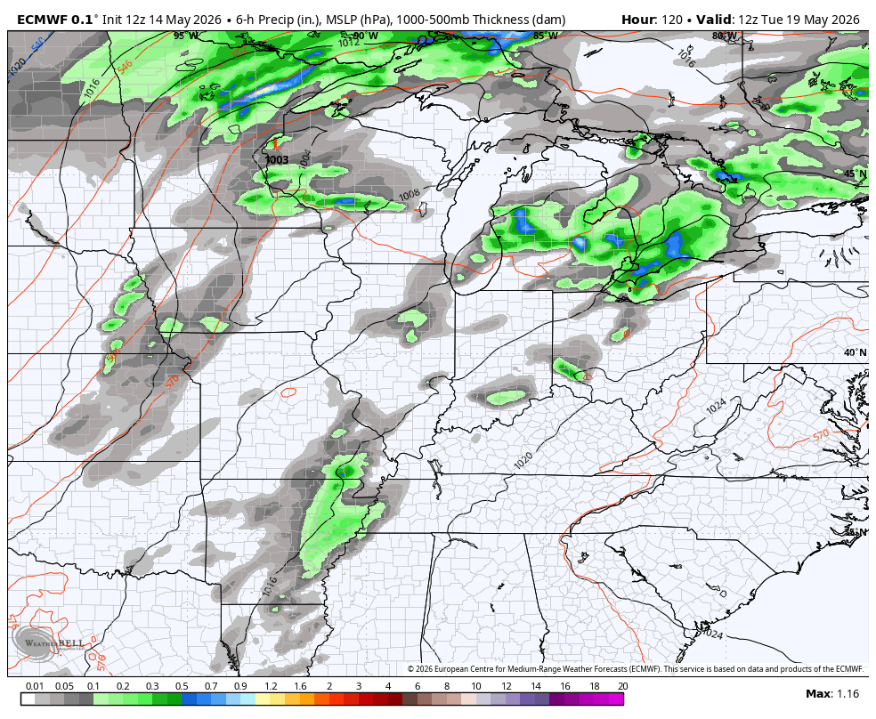
EURO
CANADIAN
The longer-range look from the EURO Weeklies shows a wetter than normal look trying to take over much of the central and eastern parts of the country into June…
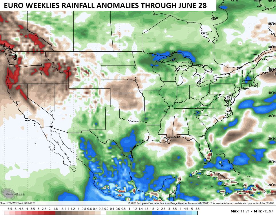
Above normal rainfall would be nice and, as I’ve explained in previous posts, that’s what usually happens in the summer months of a developing Super El Nino.
I leave you with all your storm tracking tools for the day…


Current watches

Possible Watch Areas

Make it a fantastic Friday and take care.

I’ll wait til a week out to buy in.