Good Wednesday, everyone. Rounds of showers and storms have been common recently and we continue to watch the potential for more storms out there today. This is ahead of a bit of a pattern change to close out May and begin June.
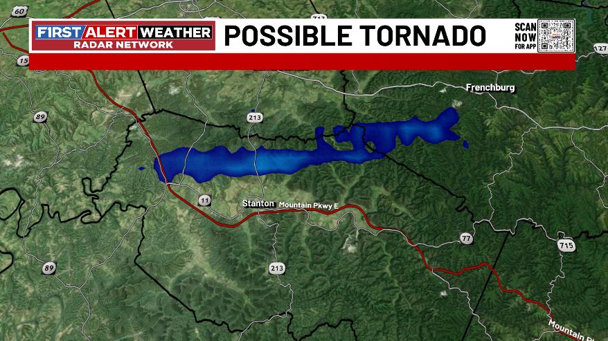
Before we get to the forecast, let’s go back to the Tuesday storms that had some spin with them and one of them may have produced a brief tornado in Powell County. Here’s one of the videos I got of this possible tornado…
Hwy 213 between Stanton and Jeffersonville. About 7:15. @Kentuckyweather pic.twitter.com/iFrgM0zXJw
— Jason D. Mays (@CoachJMays) May 26, 2026
I use the word possible because you really can’t tell if it’s actually touching the ground of if it’s just a funnel cloud. It does match up with where the WKYT radar was showing the greatest rotation…
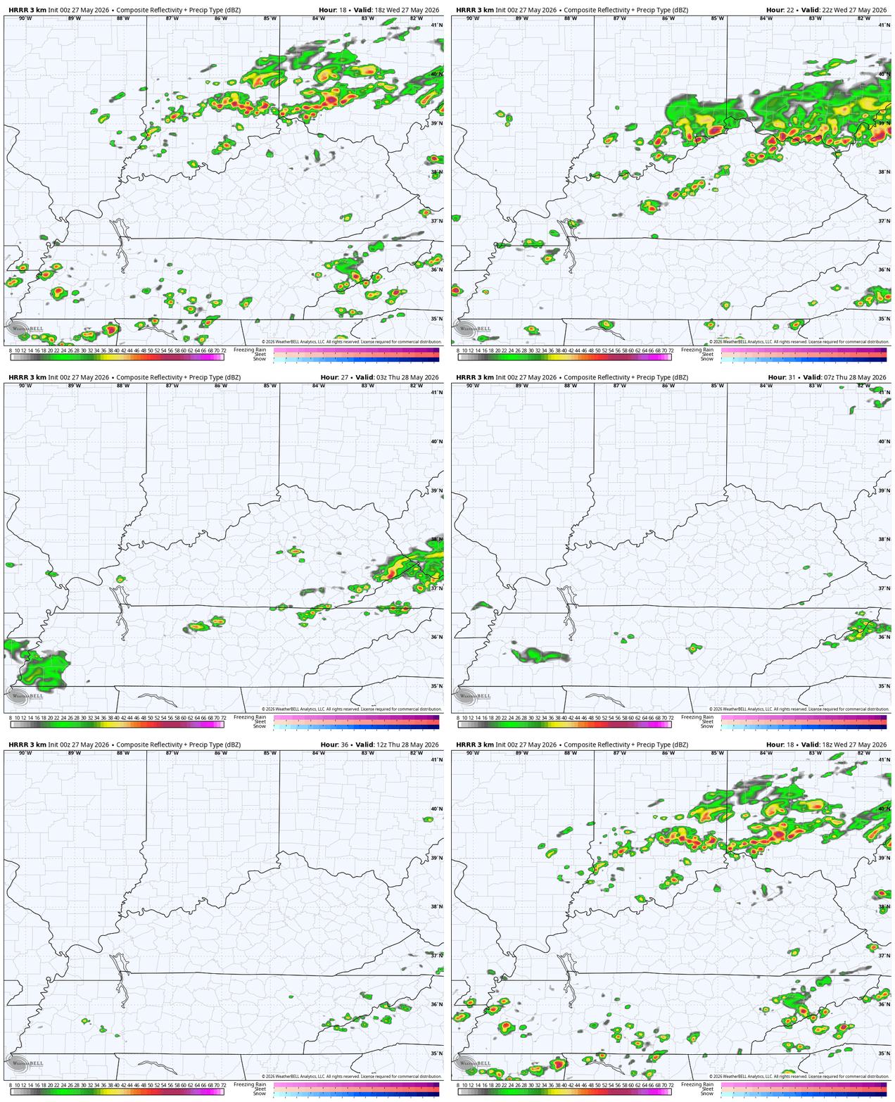
Today’s storms aren’t as widespread as what we’ve had with just some isolated stuff early in the day with a greater shot late this afternoon and evening. That’s when a broken line of storms drops in from the northwest. The future radar from the HRRR shows this well…
A few of those may be strong or locally severe, especially in the east and northeast. Here’s today’s Severe Weather Outlook from the Storm Prediction Center…

The flash flood threat will be with us again today with some areas picking up another 1″-3″ of rain. It’s wild to think that some areas of Kentucky may be pushing 10″ rainfall totals just within the last 10 days or so.
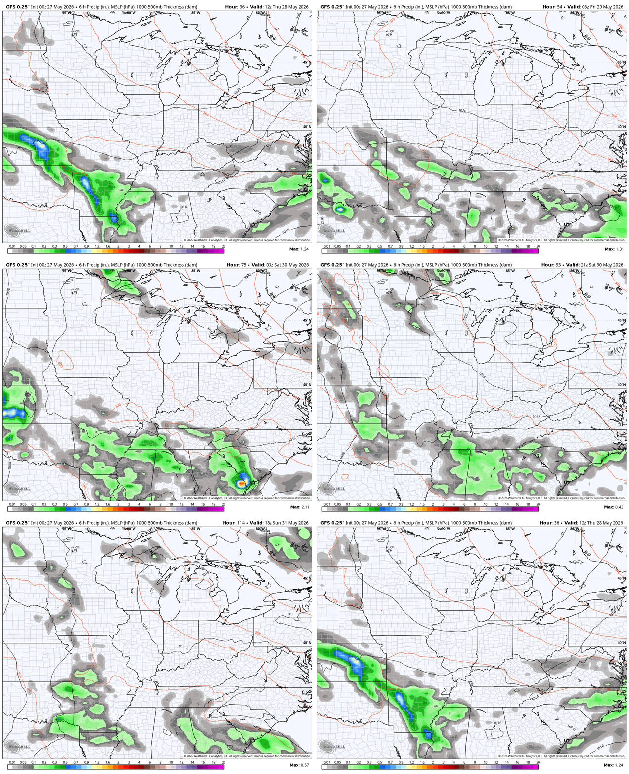
The boundary bringing today’s showers and storms slides to our south Thursday with a few showers and storms limited to the southern part of the state. This boundary slides farther to the south into Friday but may be just close enough for a shower or storm to start the weekend. This animation from the GFS goes from Thursday morning through the weekend…
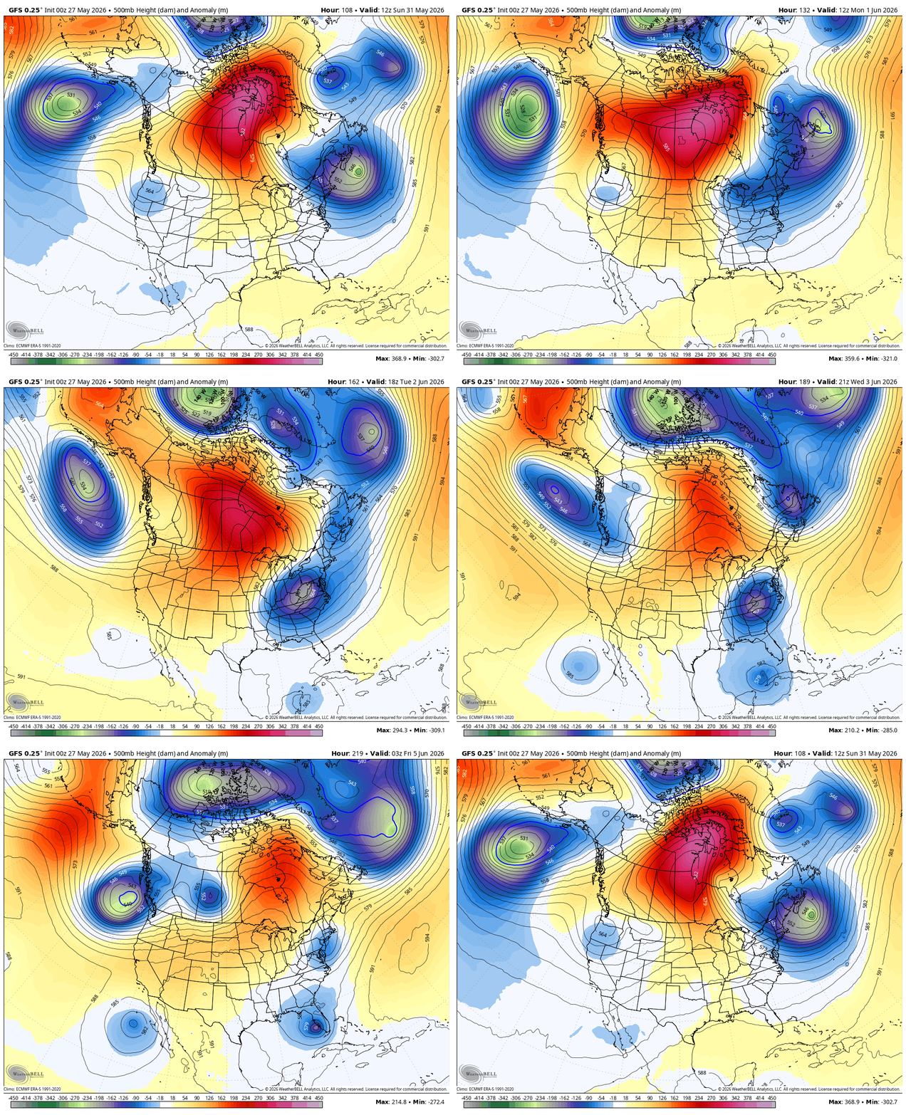
That blocking pattern shows up very well this weekend into the first week of June and may feature some kind of cutoff low in the eastern half of the country…
We will also need to watch the Gulf for a potential early season system trying to pop.
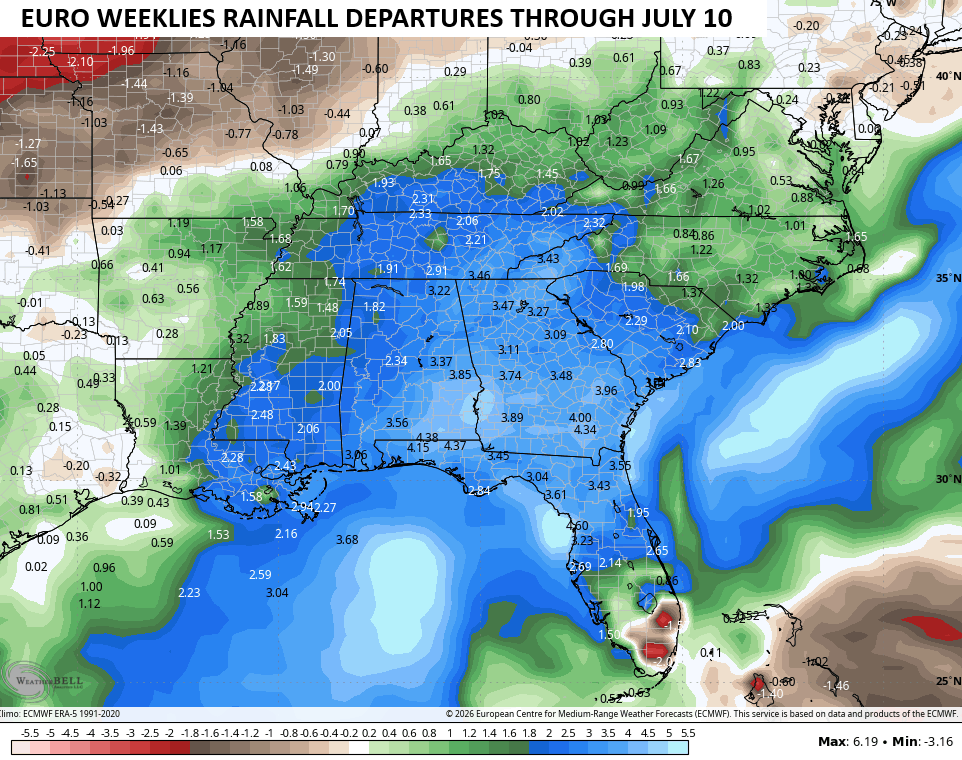
Looking longer range, we find the EURO Weeklies continuing to show above normal rainfall from the Gulf into Kentucky through early July…
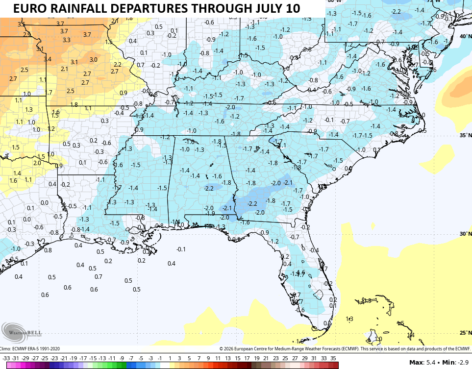
Temps during this same time frame are also forecast to average a bit below normal…
I leave you with your daily rain and storm tracking tools…




Current watches

Possible Watch Areas

Make it a wonderful Wednesday and take care.

Ready for sunshine and heat.