Good Tuesday to one and all. Awesome temps continue to rule the weather world here in early June but some changes are lurking for the end of the week and weekend. That’s when more typical summer temps return with rounds of storms set to follow.
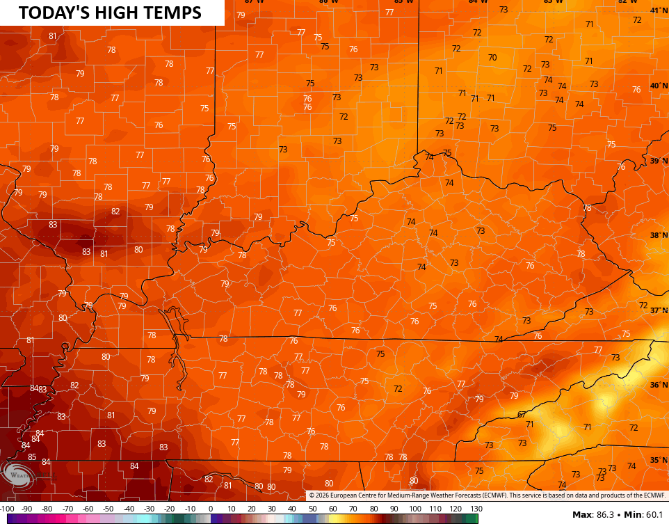
Today features a lot of sun for many areas with just a few clouds spinning in from time to time. One or two of those clouds may spit out a few sprinkles or isolated showers in the east. Highs are amazing with temps in the low and mid 70s for many…
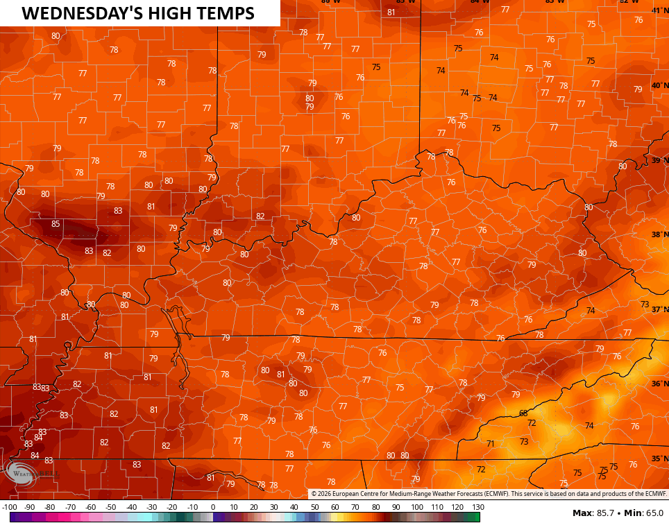
Lows tonight drop into the upper 40s to low 50s with mid and upper 70s for highs set to follow on a wonderful Wednesday…
Temps warm toward the low 80s for Thursday with low and middle 80s on Friday with dry skies rolling on.
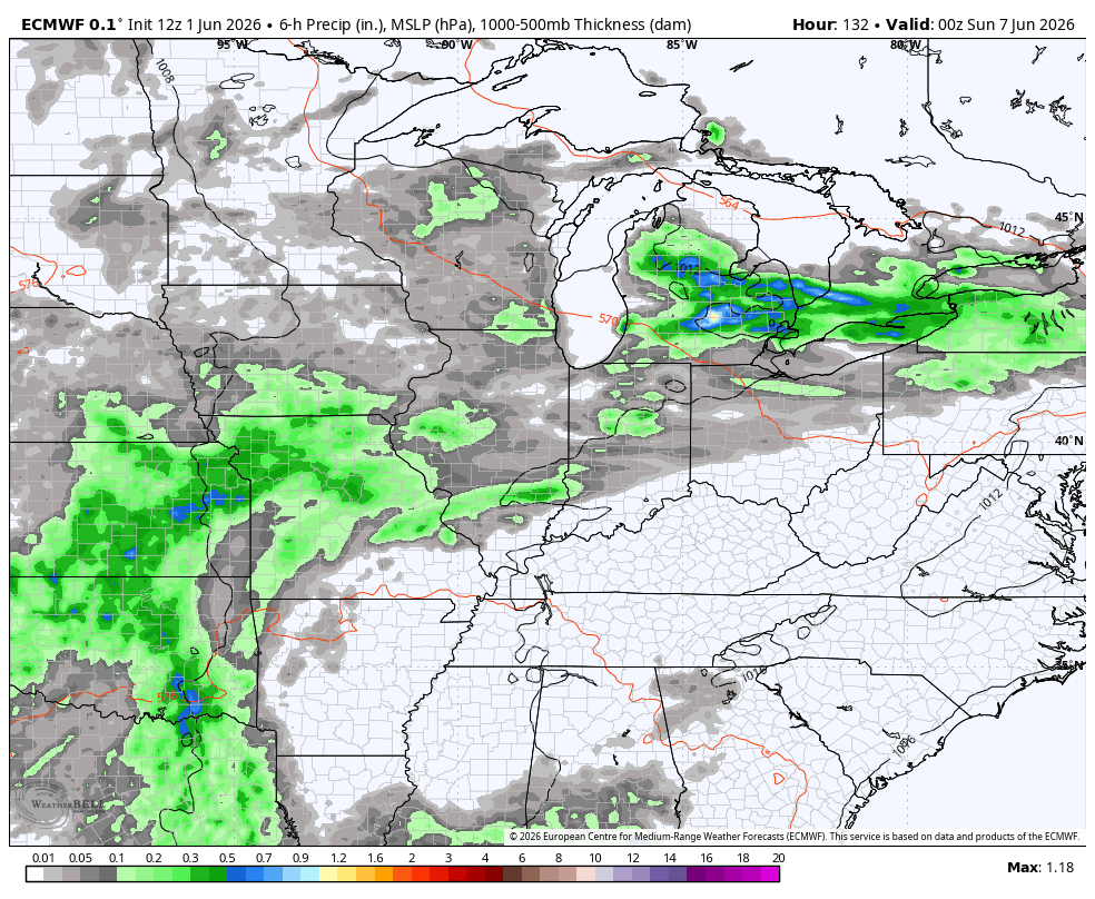
The pattern turns active again later this weekend and likely carries us through the middle of June. This animation from the EURO starts later Saturday and rolls through the 16th…
The Canadian doesn’t go as far out in time, but has a similar view through June 1th…
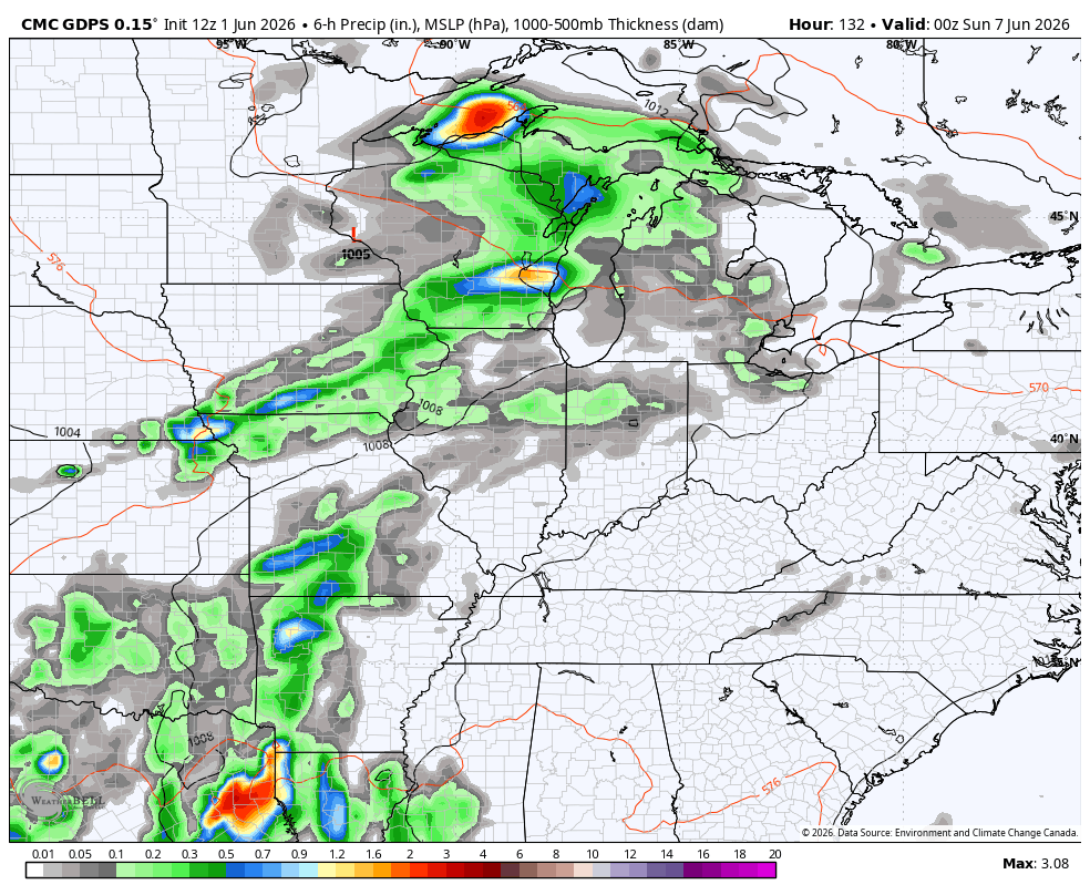
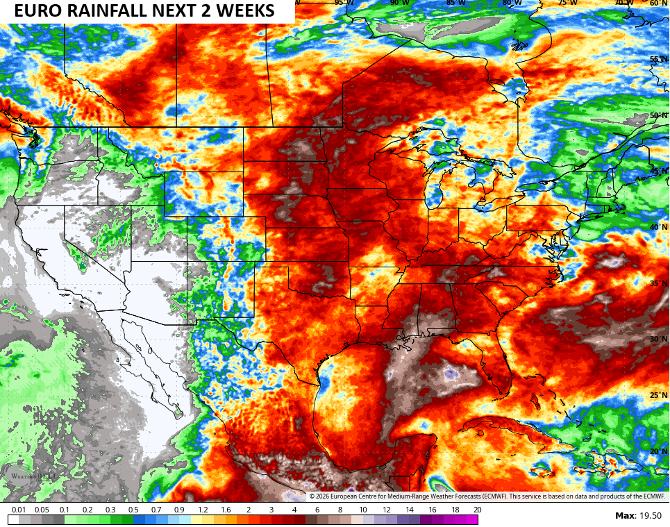
The forecast models continue to spit out quite a bit of rain for much of the country over the next few weeks…
I leave you with your daily tracking tools…


Current watches

Possible Watch Areas

Make it a terrific Tuesday and take care.
