Good Wednesday, folks. It’s another absolutely amazing weather day across the Commonwealth as temps remain below normal. We turn those numbers around over the next few days before an increase in storms.
Temps this morning are likely in the upper 40s for some areas of central and eastern Kentucky. Highs this afternoon range from the upper 70s to around 80 under mostly sunny skies. Overall, it’s another great one.
Temps on Thursday hit the low 80s for much of the state with a mix of sun and high clouds.
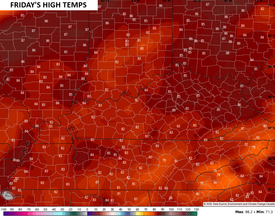
Temps then summer it up by Friday with low and middle 80s…
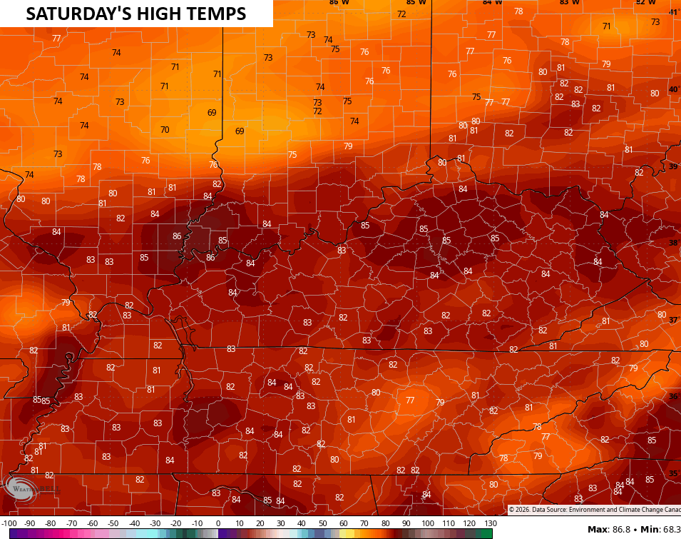
The Saturday temps are similar…
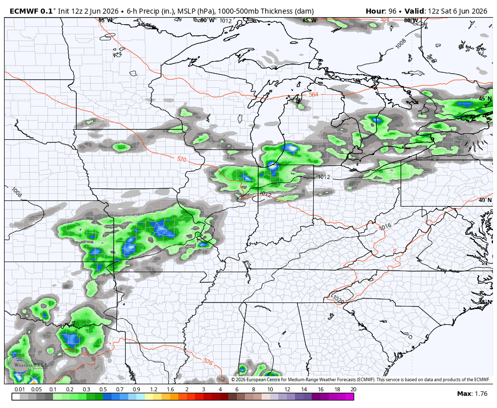
A few storms develop and rumble in late Saturday as a boundary drops in from the northwest. A much better shot for some storms will be with us Sunday and Sunday night. The overall setup from late this weekend through the middle of June is likely to throw some decent storm clusters at us.
The EURO gives us a good look at this potential through June 17…
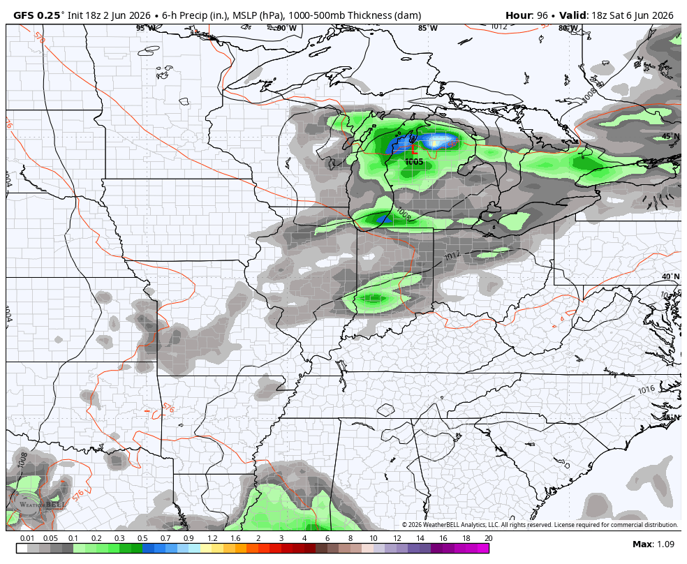
The GFS is seeing the possibilities, too…

I got home from my Texas work trip this morning and it felt a very nice low 50s in Richmond.
My son, who lives in the San Antonio region, told me that in 2025 there were 22 days when the temperature reached 100 degrees or more. But 2023 was far worse when they exceeded 100 degrees 75 times, break8ngbthe old record of 59 days!