Good Monday to one and all. Our weather pattern is calming down a bit out there today with just a few storms on the move. As we look ahead to the rest of the week, some typical summertime temps move in before getting pushed back to the west by a big dip in the jet stream.
A few showers and storms are still spiraling around low pressure just to our south. This means a few heavy downpours can still cause local high-water concerns across the southern part of the state, especially.
Temps start to jump up beginning Tuesday then jump even more Wednesday through the start of the weekend. Highs range from the mid 80s to low 90s, depending on storms going up on any particular day.
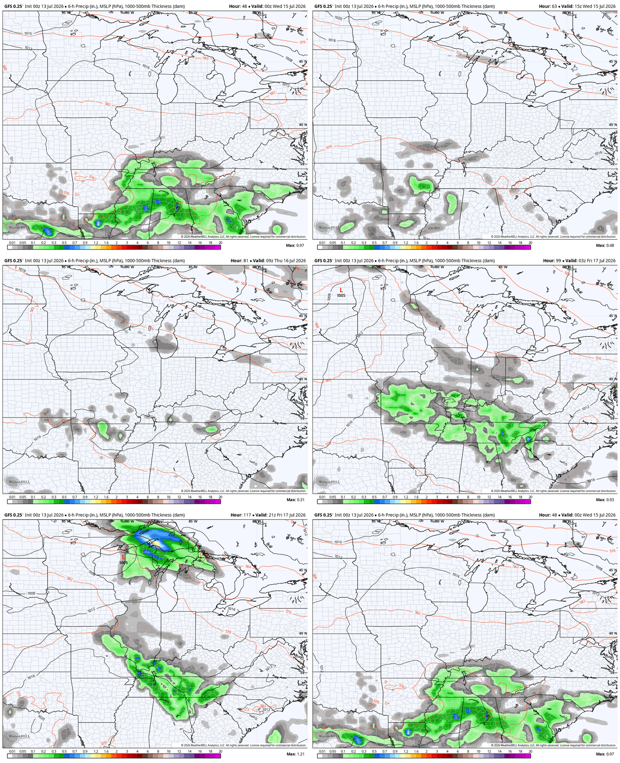
The GFS continues to show some of these storms around in this animation from Tuesday evening through Friday evening…
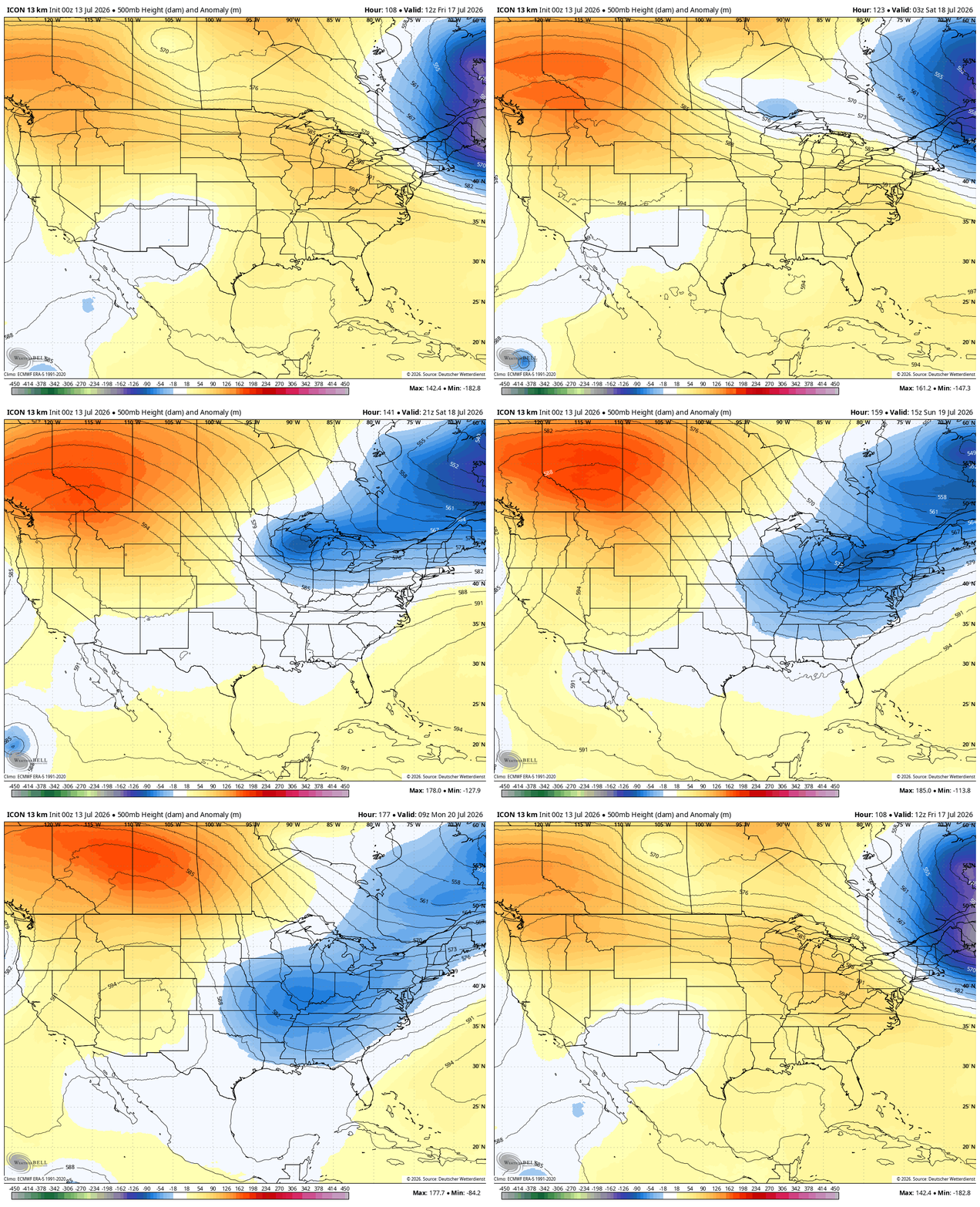
This action is ahead of that big dip in the jet stream coming in later this weekend into next week. The ICON has a healthy dip…
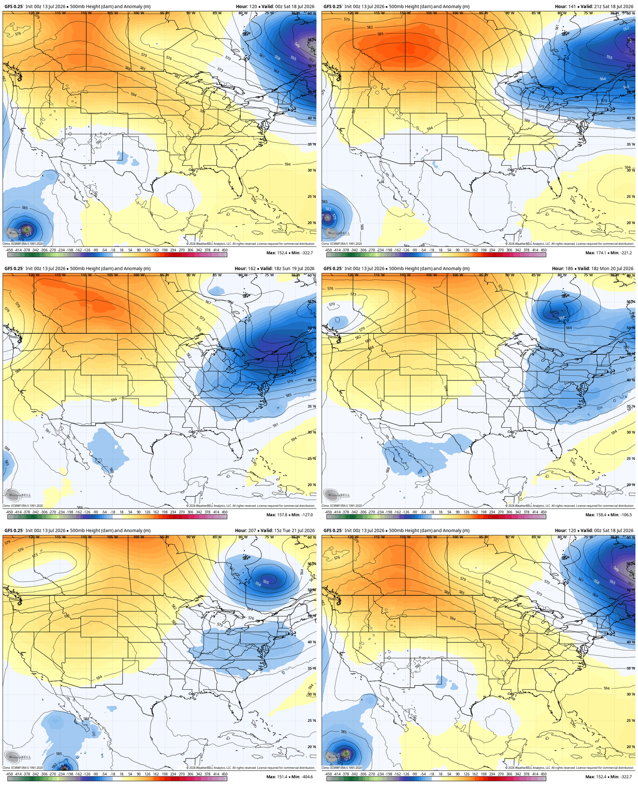
The GFS is also a healthy trough, but it comes down in waves…
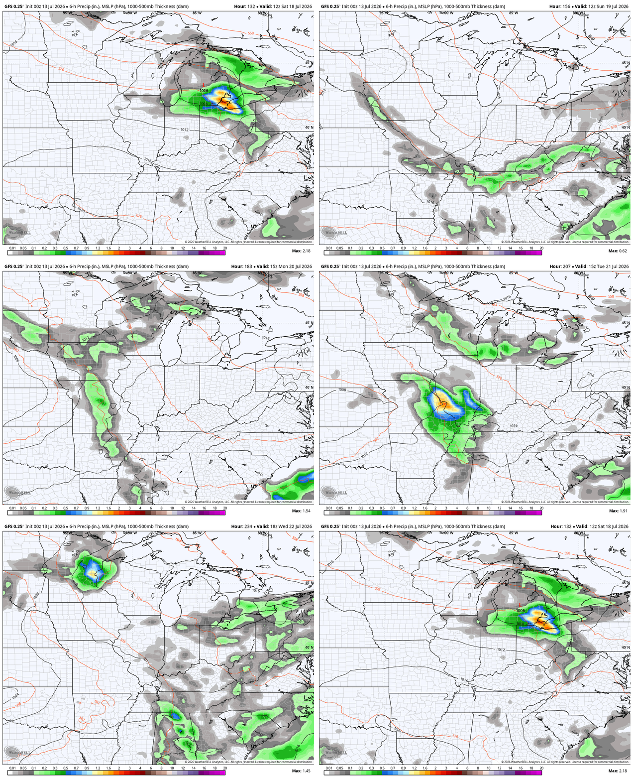
Those troughs would be accompanied by additional rounds of showers and storms…
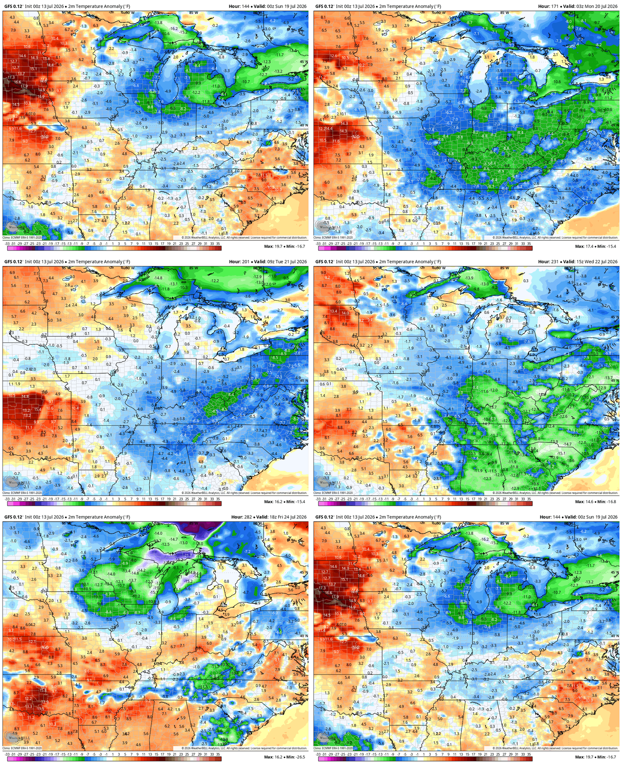
All of this is accompanied by cooler than normal temps…
As always, I leave you with your daily tracking toys…




Current watches

Possible Watch Areas

Make it a sensational Sunday and take care.

I call BS
Thanks Chris. Ready for the Sunny, cool days of Autumn. However, ( AI ) has a forecast out that Fall 2026 will be warm and dry for our area of the CONUS. Hoping ( AI ) is wrong, but stated that the surface sea temperatures over the Globe are well above normal, and the Greenland blocking is no longer present. Does anyone think that our 4 seasons are coming to an end ?
We’ll continue to have seasons, but the lengths of spring and fall will be greatly reduced.
I agree Joe, that we are heading in that direction.
” NOAA has increased it’s confidence that the current El Nino will continue strengthening, with about a 97% chance of lasting into early Spring 2027, and a high probability of becoming a very strong El Nino by Autumn 2026. ”
For our Winter this will depend on the blocking returning in Greenland, and the position of the El Nino Jet stream ( subtropical jet stream ) whether it’s north or south of Kentucky. Snow lovers would want it to be south. Also the teleconnections ( PNA, OA and the NAO ) if they become strongly positive or negative. For a Snowy Winter, one would want a positive PNA ( Pacific North America ) and a strong negative AO ( Arctic Oscillation ) and a strong negative NAO ( North Atlantic Oscillation. ) We shall see how this unfolds. Could be like the strong El Nino ( 2015 – 16 ) where I had a 15 inch Snow cover.
I’ve been reading that the super ELNino is forecast to break the one in 1976 record and as me and you knows how those winters were back in late 70’s
Those Snowstorms in the 1976 – 77 and 1977 – 78 were very interesting to track and shovel. Snow drifts over 20 feet after the Blizzard of 78. All occurred in El Nino years.
Interesting, thanks Schroeder.
The Climate Prediction Center’s latest estimate on the strength of this El Nino is that it is likely to be the strongest since they first began recording ENSO data, back in 1950. El Nino is a global phenomenon and its impact on weather in particular areas varies greatly by region. In Asia, for instance, it can affect frequently affect monsoon seasons with with severe drought. Northern areas of South America may face severe drought, while areas in the south like Argentina and southern Brazil face torrential rains and flooding. In North America, fall and winter usually see an active storm track established in the southern US with wetter and stormier weather, while the northern US into Canada may see milder conditions with less snowfall. This is what has happened historically, but the BIG question is what affect will the warming atmosphere and especially the warming seas have on this El Nino.