Good Thursday, everyone. The weather out there today is flat out awesome for the dog days of summer. Temps are well below normal and remain that way for a few more as the threat for scattered storms jumps back into the mix.
Temps this morning are into the 50s for many areas with afternoon highs generally 75-80 in most areas. Skies look awesome with a mix of sun and clouds.
Friday will feature more clouds with temps generally in the upper 70s to low 80s. There’s the chance for a shower or storm in the west and south with a better shot for scattered stuff on Saturday.
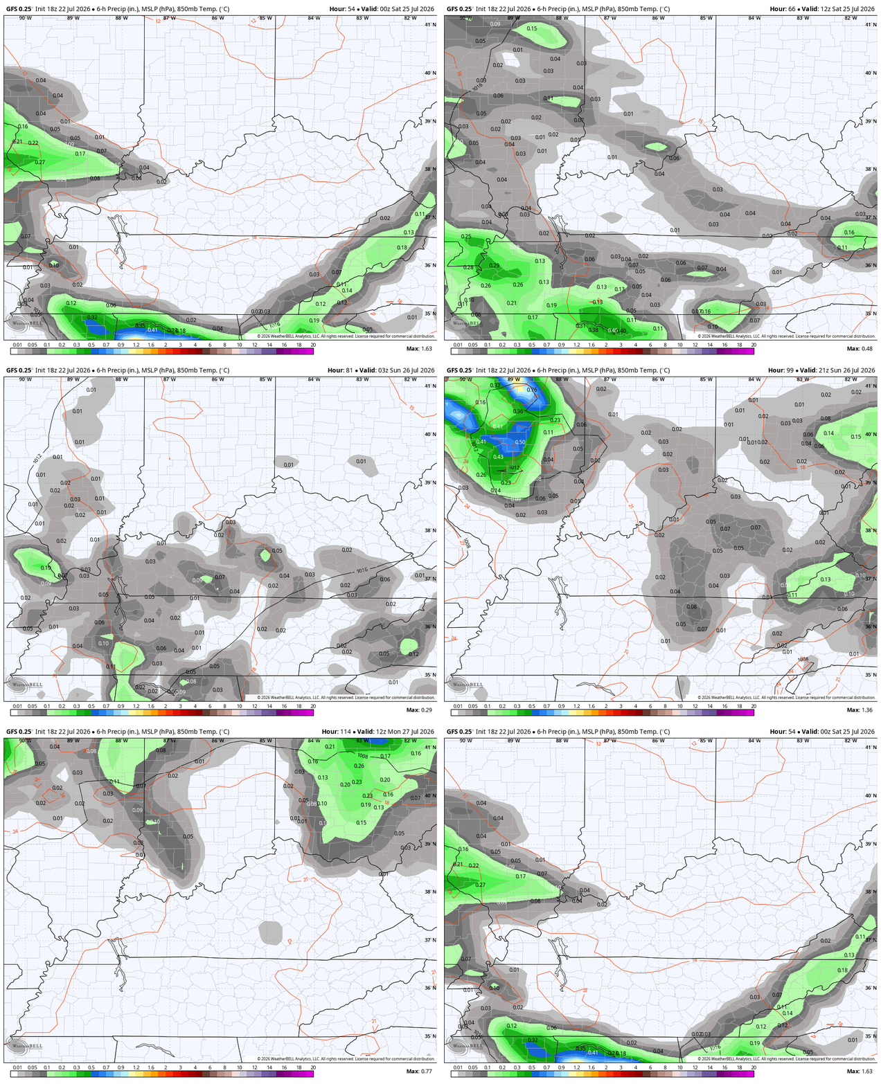
As a more typical brand of summertime air makes a run at us on Sunday and may have a few storms firing up along and ahead of it. This animation shows everything from Friday evening through Monday morning…
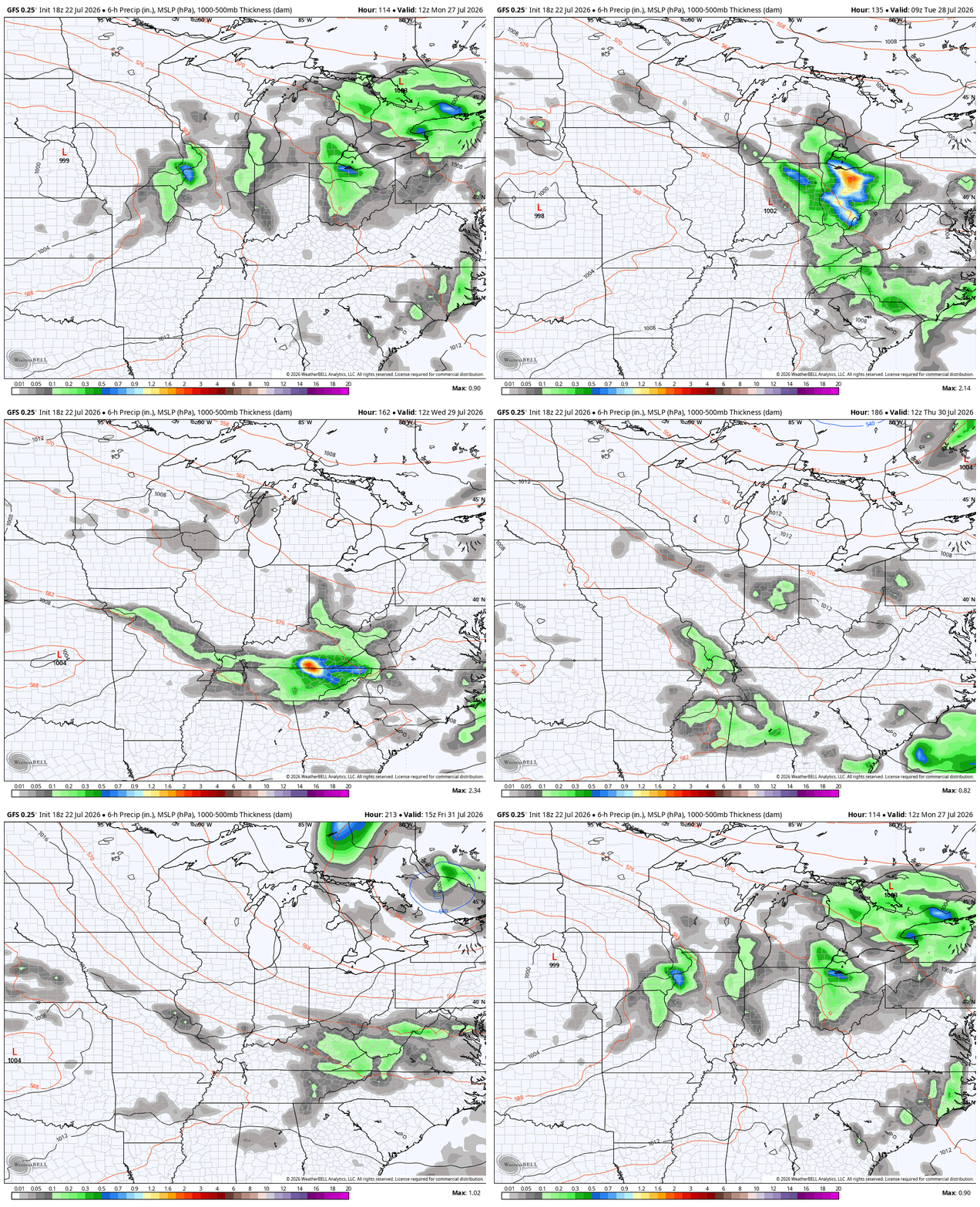
A few rounds of showers and storms then dive in here early next week as we find ourselves on the leading edge of some heat. A few cold fronts then drop in for the closing days of July into the start of August…
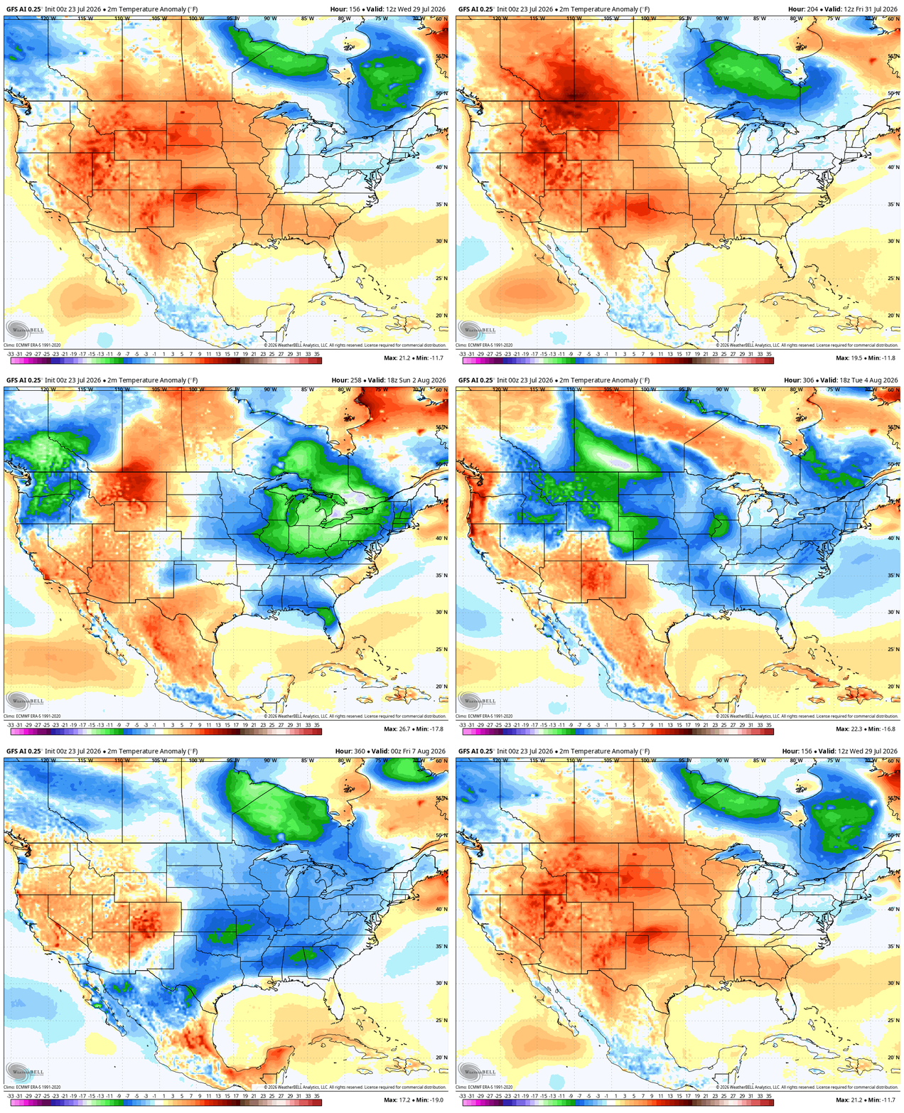
The AI version of the GFS is seeing several cooler than normal shots all the way into the first week of August…
Bertha continues to spin westward along the Gulf coast…


I’ll get around to those fall and winter posts soon. Make it a great Thursday and take care.

The heat will return soon and these models will bust.