Good Monday, everyone. July is quickly running out of days, but our stormy setup keeps going strong. Complexes of strong to severe storms are dropping across the region to start the week, bringing severe weather and local flash flooding.
These complexes of storms are moving in from the north and northwest today through Tuesday. These storms are loaded with damaging winds, a ton of lightning and enough rain to cause local flash flood issues.
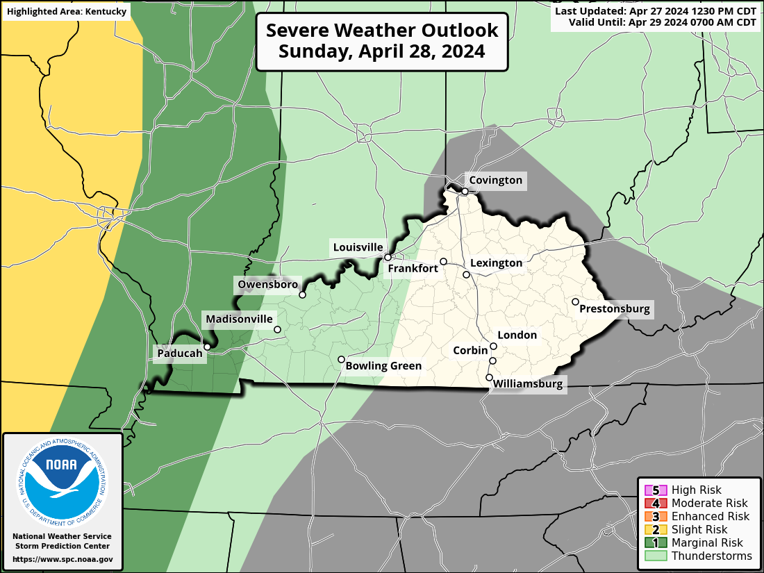
The Storm Prediction Center has the entire region in Today’s Severe Weather Outlook…

The damaging wind threat is, by far and away, the greatest threat with these storms…

The severe threat continues into Tuesday across parts of central and eastern Kentucky…
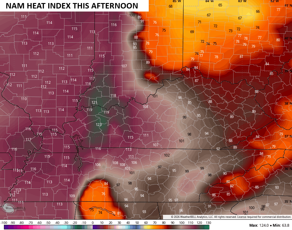
These storms are on the leading edge of some serious heat that’s getting as far east as the western half of Kentucky. Heat index values in the far west made a run at an amazing 120 degrees Sunday afternoon and may do it again this afternoon. Notice the extremely sharp cutoff to the eastern extent of the absurd heat…
A cold front is dropping in from the north later Tuesday and will clean the air up for the entire region. Heat index values may briefly surge well above 100 across the southern half of the state ahead of this front…
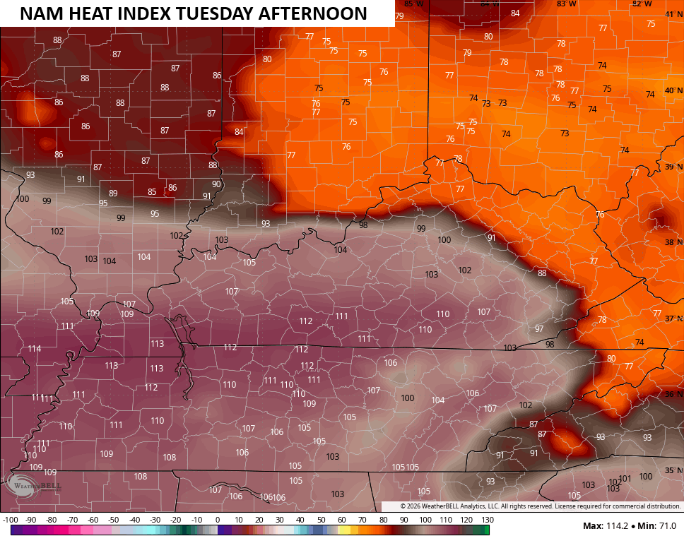
That’s wild to see!
As if high heat, severe storms and flash flooding weren’t wild enough, how about we throw some wildfire smoke into the mix. Massive wildfires are burning across the northwestern US and the upper level winds will bring that smoke in here over the next few days…
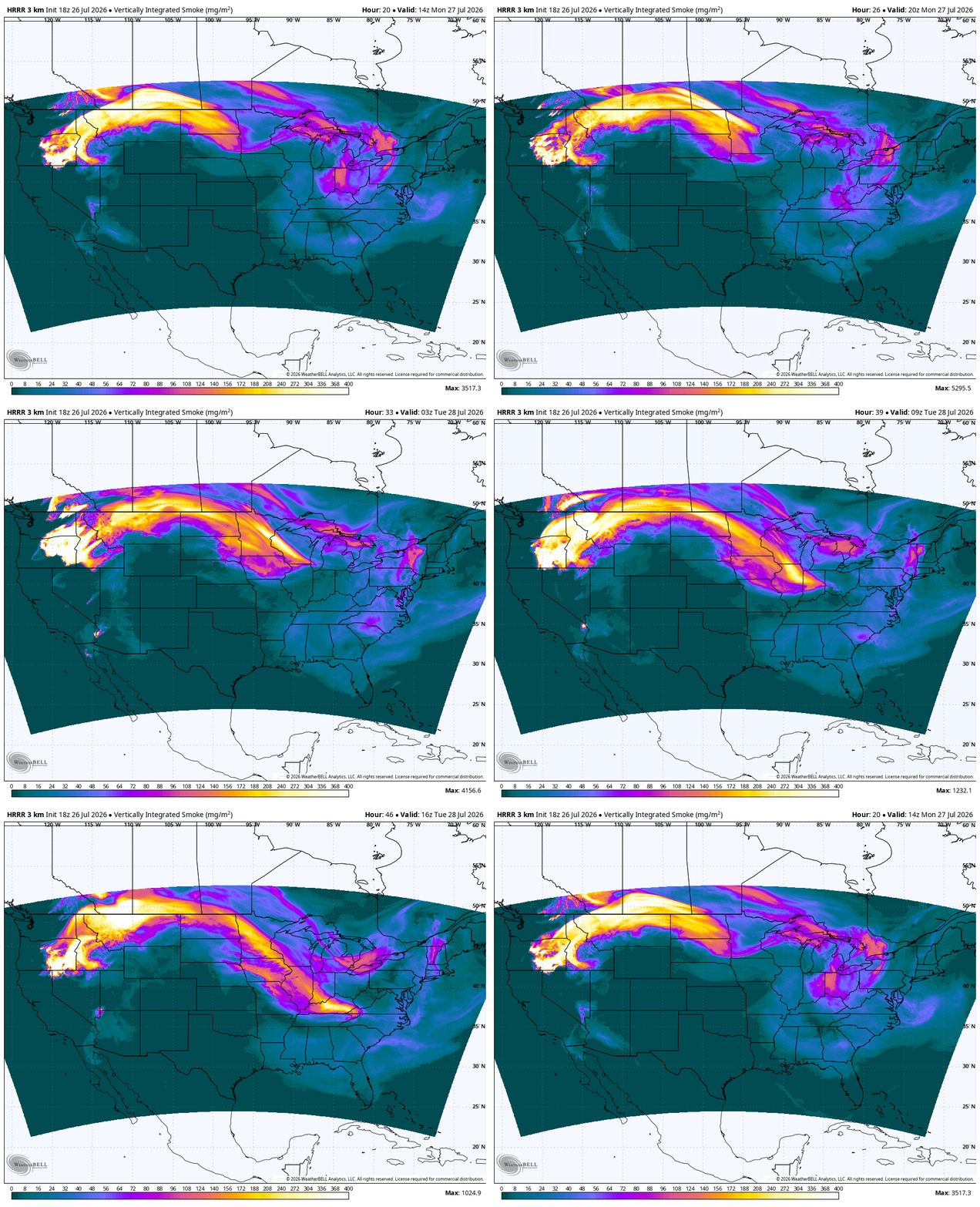
A smokey sky and haze will be showing up through Tuesday and this could make for some unhealthy air at times.
Humidity levels and temps come way down behind this front for Wednesday and Thursday as the weather turns pretty pleasant.
Another upper level system looks to sweep in here over the weekend as August starts with rounds of showers and storms and cooler than normal temps. Watch this thing sit and spin into early next week…
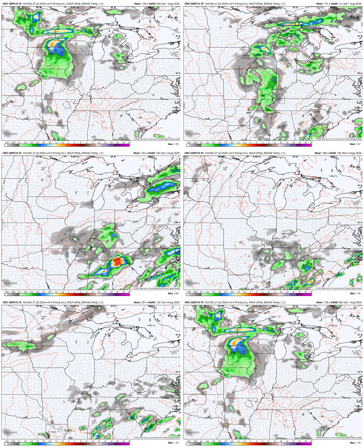
Highs may not get out of the low and mid 70s for a few days as clouds and rain do a number on the numbers.
As always, I leave you with your daily storm tracking toys…




Current watches

Possible Watch Areas

Make it a magnificent Monday and take care.

Bring on the heat.
Bring on the COOL !
Thanks Chris. Here in Maple, we had about a half inch of rain. A thunderstorm with lots of lightning late last night. We have had zero severe weather so far this month. It’s been a very good growing season.