Good Wednesday to one and all. Here’s hoping this post finds each of you enjoying your best life! It certainly is a better weather life out there today with a much better brand of air across Kentucky, albeit with a smoky sky.
As we head toward the weekend and the start of August, a slow-moving upper-level system will be spinning up some showers and storms around these parts.
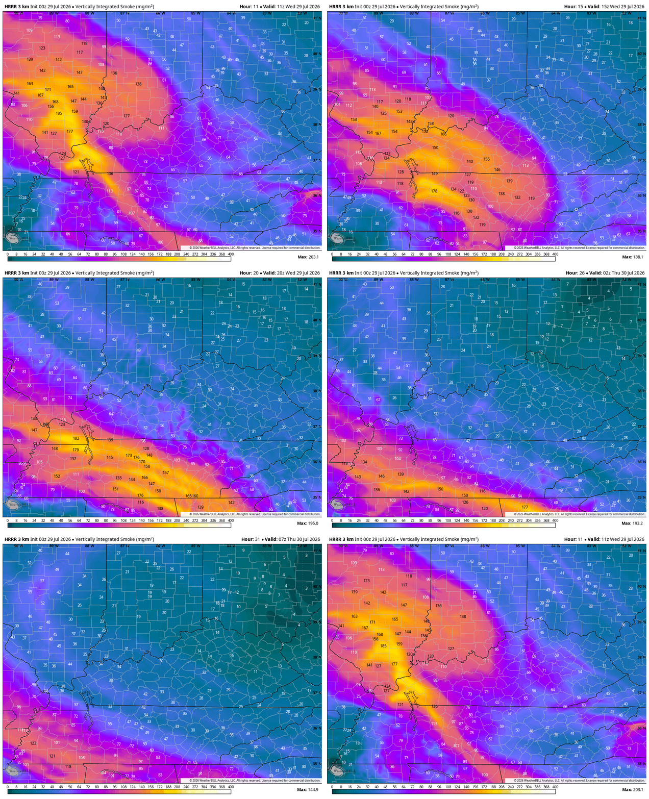
Temps out there today range from the upper 70s to middle 80s with much lower humidity that’s filtering in from the north and northeast. You will continue to notice a hazy/milky sky out there as upper-level smoke shows up from wildfires burning all the way back in the Pacific Northwwest.
Watch how the northeast flow starts to push the smokiest sky to our southwest by later tonight…
Lows by Thursday and Friday morning will dip into the upper 50s for parts of central and eastern Kentucky as our dry, pleasant skies continue.
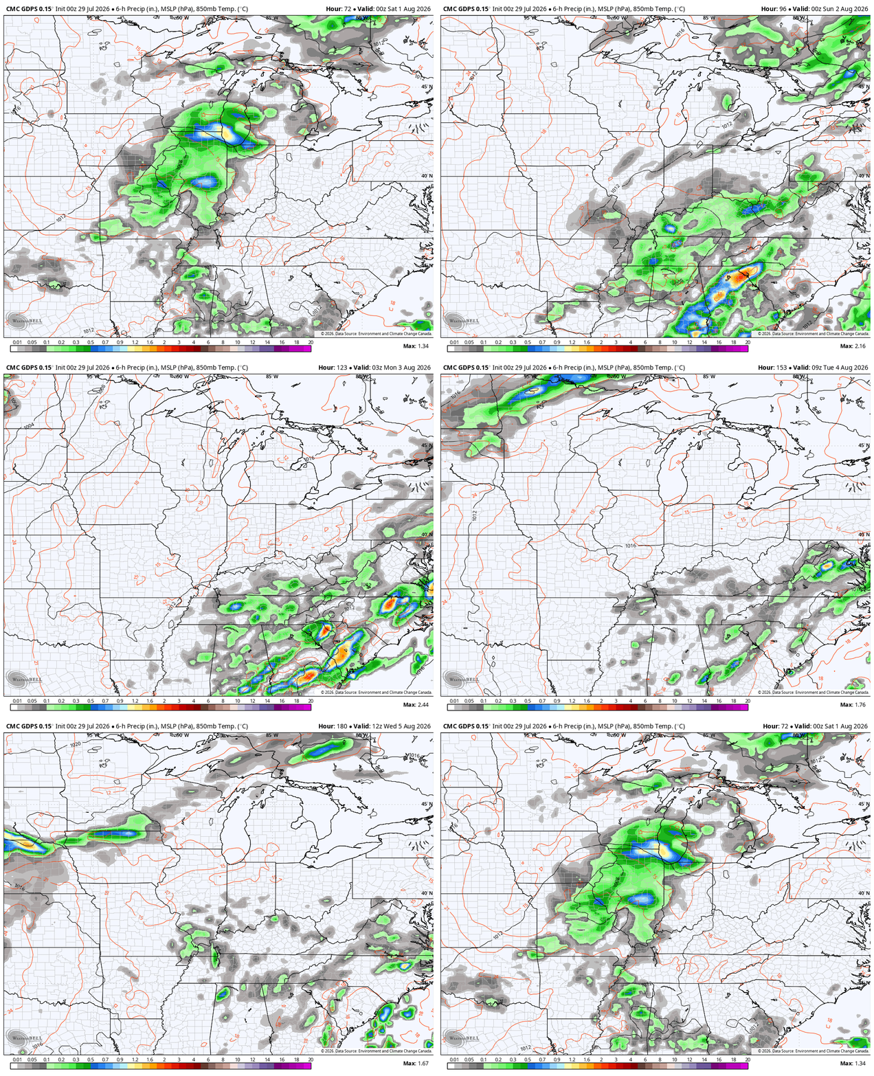
Clouds will increase on Friday as a slow-moving upper level low pushes in from the west. This low likely spins across the state and region over the weekend into early next week. This setup can deliver some pretty healthy rainfall amounts. Here’s the Canadian from Friday evening through the middle of next week…
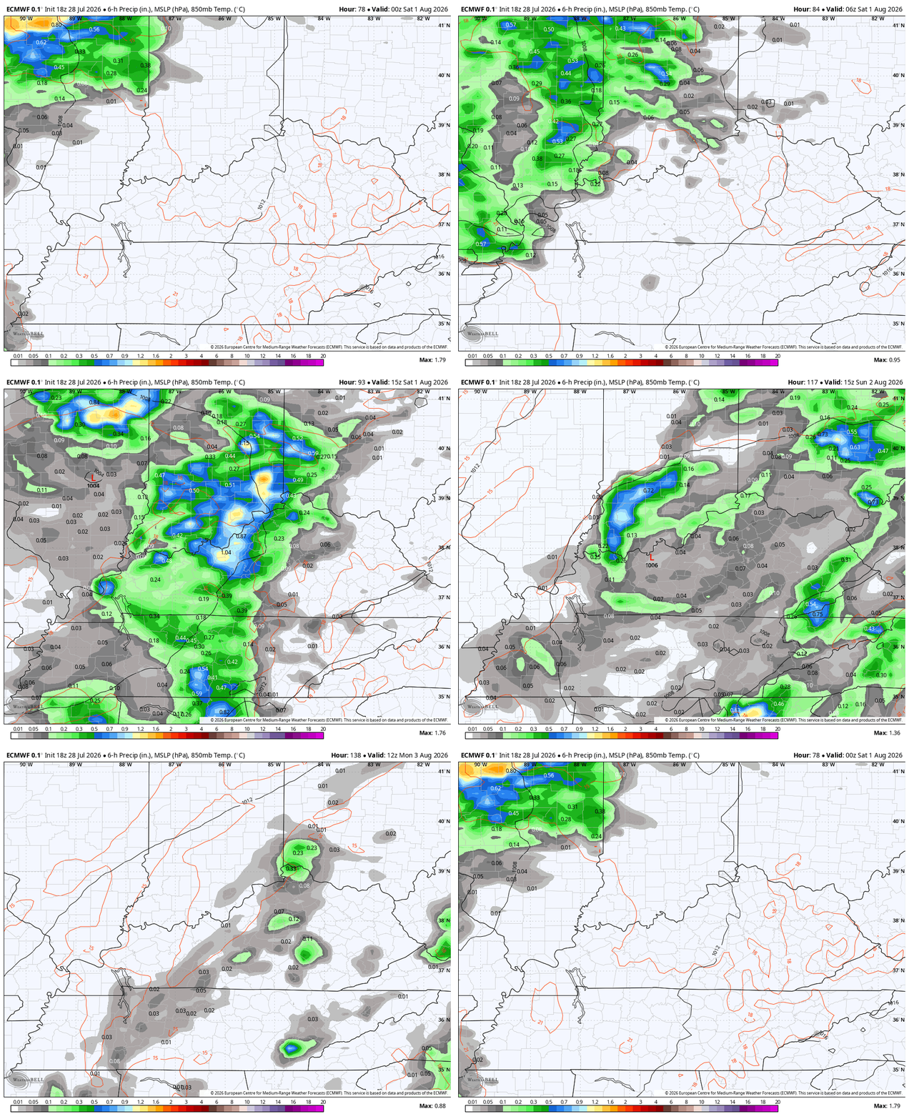
Here’s the EURO from Friday night through Monday afternoon…
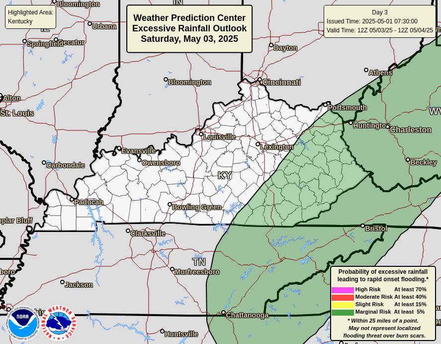
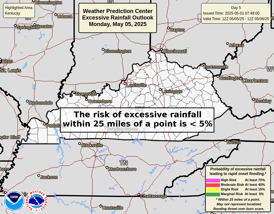
With the potential for heavy rains, we will have to be on guard for some high water issues from time to time. The Weather Prediction Center shows the potential on the Excessive Rainfall Outlooks from Friday through Sunday…

As always, I leave you with your daily tracking toys…




Current watches

Possible Watch Areas

Make it a wonderful Wednesday and take care.

Thanks Chris. The smoky skies has provided us with a beautiful orange Moon set. Really liking the cooler than normal temperatures, but there is a lot of Summer yet to happen to bring those temperatures up to a more normal level. Hoping we do not have the rains the models are indicating.
Bring on the blowtorch heat.
The Greenland Blocking High Pressure System is responsible for the temperatures not reaching the upper nineties this month. Brings down troughs from the Northwest about every other day. I’m hoping it will continue to do so. If the Greenland Blocking continues into Fall and Winter, with a negative AO and NAO, could mean a very interesting Fall and Winter with El Nino’s jet stream to our south.
I hope it doesn’t continue.
We are beginning to see the split flow jet stream develop, with a steeper NW to SE trough set-up from NW Canada into the center of the US. This is a hallmark of an El Nino, and is one reason for the periodic stretches of unsettled weather we’ll see going for. The dips in the polar jet stream are also influenced by the strong high pressure in the northern Pacific, an offshoot of the much above normal sea surface temperatures in the Gulf of Alaska.
There’s a possibility that the developing El Nino will not react to the atmosphere if the PDO ( Pacific Decadal Oscillation ) doesn’t move towards the negative.
Correction to the above : positive not negative.