Good Thursday, folks. It’s another absolutely awesome weather day across the Commonwealth as we get set to send July out on a decent note. That changes quickly as we get into the weekend as August starts wet with rounds of showers and storms.
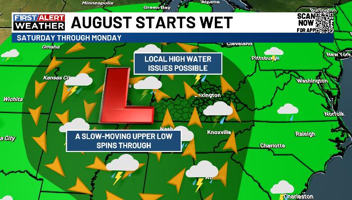
The setup for the weekend continues to look the same with a slow-moving upper-level system meandering through here. Here’s the setup for the weekend…
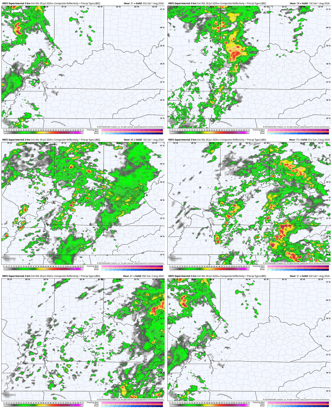
Spiraling bands of showers and storms show up across the west Friday evening with a slow eastward push Saturday and Sunday. This future radar from the RRFS only goes through 8am Sunday, but gives us a really good look at the bands of showers and storms…
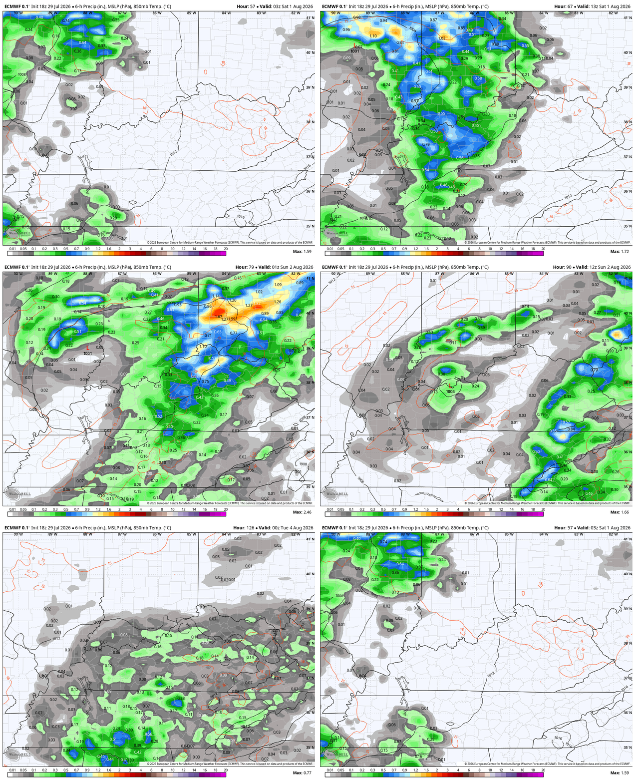
This low will hang around Monday and Tuesday with additional showers and storms going up each day. This animation from the EURO from Friday night through Tuesday looks like this…
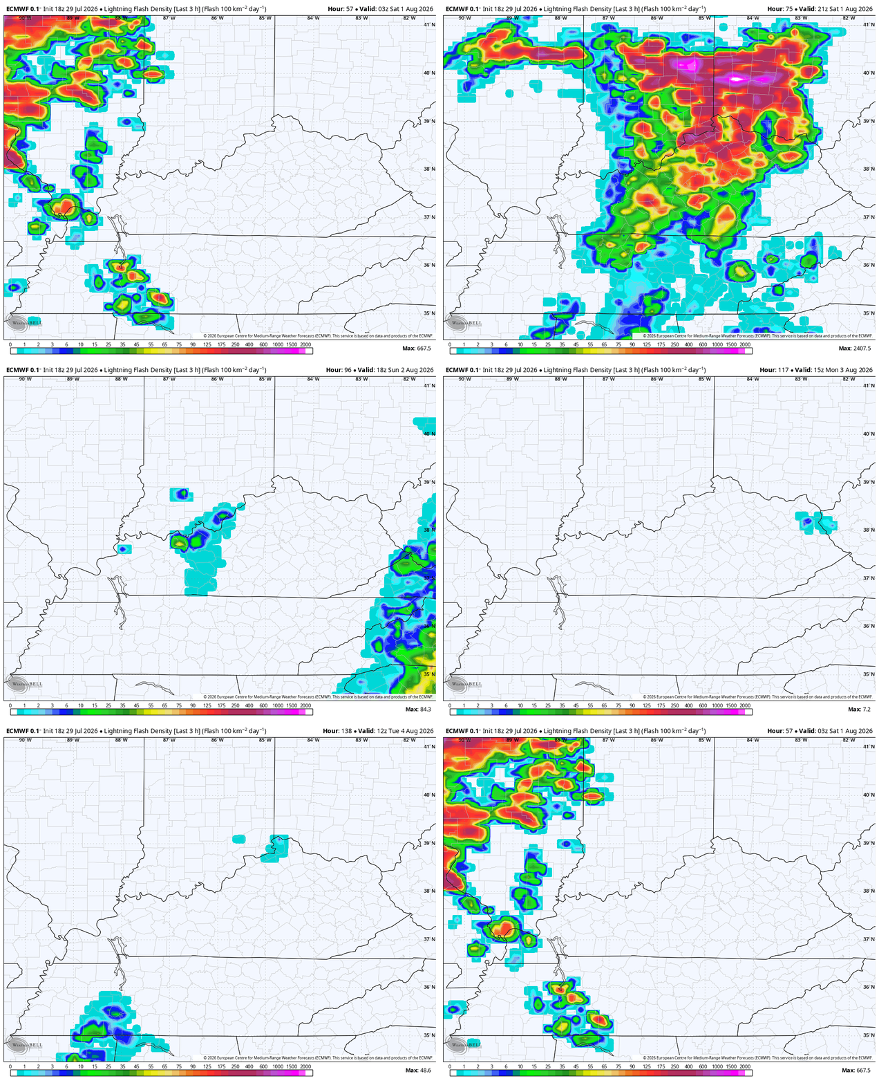
Here’s a look at the lightning from that same time period…
The potential for flash flooding is there, especially across parts of central and eastern Kentucky Saturday and Sunday. Here’s a look at the Excessive Rainfall Outlook from the WPC for Friday through Sunday…
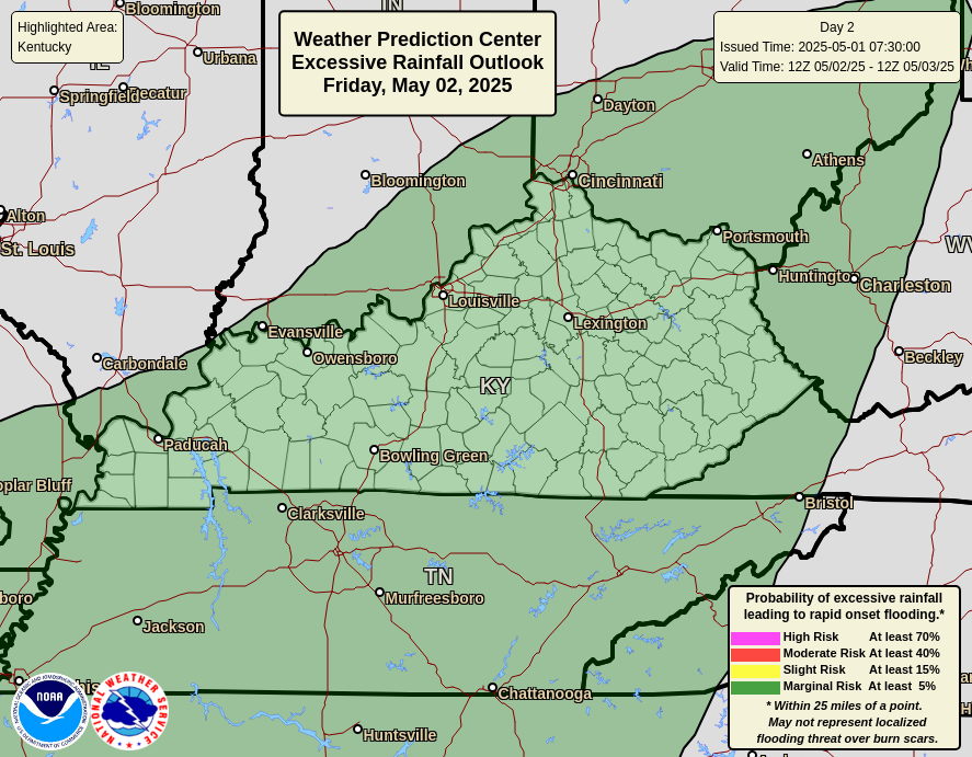
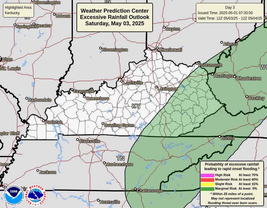

Temps will be held down into the 70s for many areas this weekend.
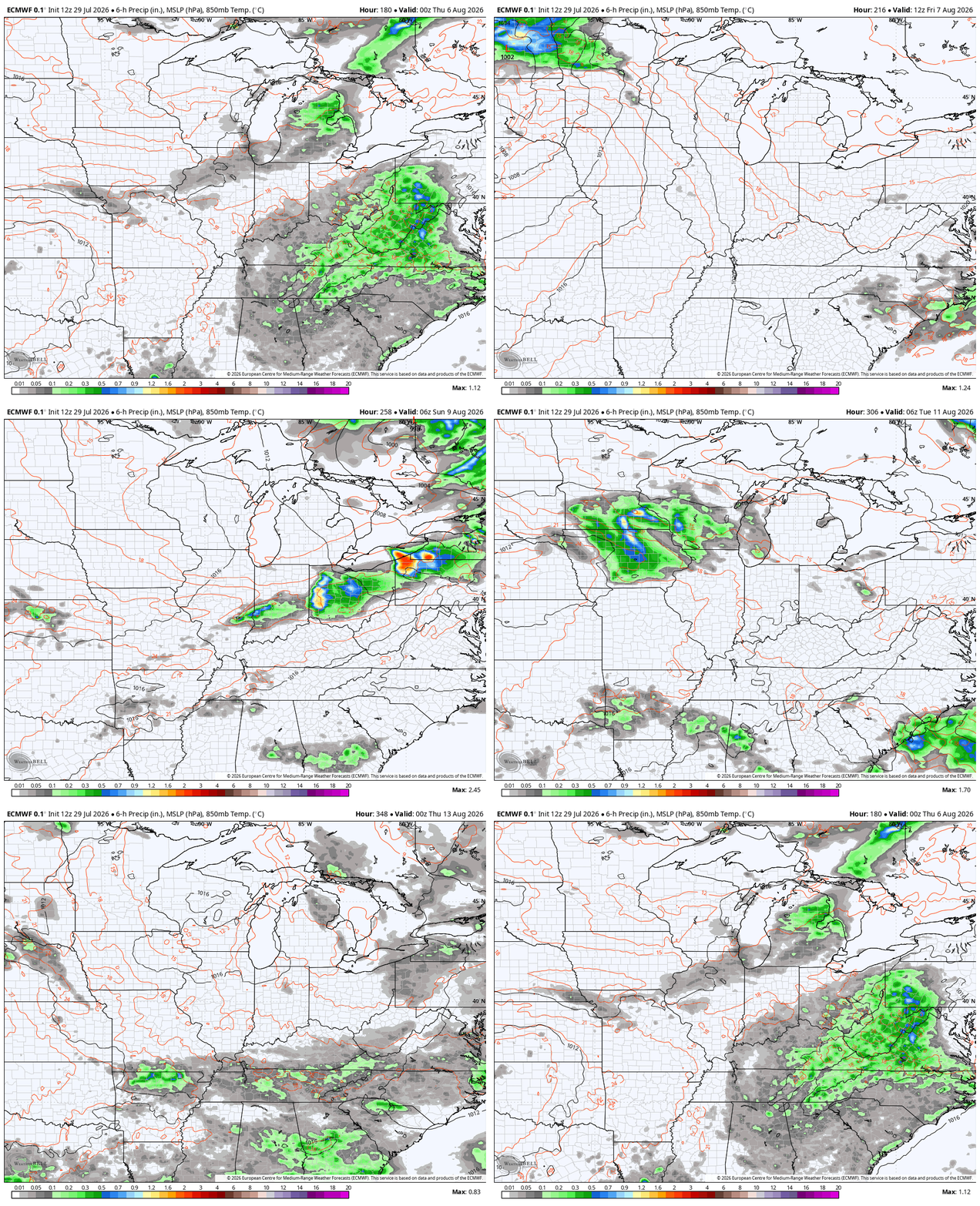
The pattern continues to look pretty active for the first half of August with additional systems moving into the area later next week into the following week…
As always, I leave you with your daily tracking toys…




Current watches

Possible Watch Areas

Make it a great Thursday and take care.

Yeah we don’t need that at all. Bring on the 90s.
Maybe not this Summer Jeff. The weather pattern we are in, is not likely to change. Locked In. Hoping for early Autumn weather.
Thanks Chris. Being that we are entering the last month of Summer, the weather could not be better, however we could use the predicted rains this weekend.