Good Friday, everyone. July is ending on a fairly nice note, but this won’t carry over into the start of August. As a matter of fact, we have the possibility of severe storms and flash flooding as a slow-moving low pressure moves in.
Here’s a breakdown of how things may play out this weekemd:
- Low pressure slowly moves in from the west later today and spins across Kentucky this weekend.
- Spiraling bands of showers and storms spin into western Kentucky late this afternoon and evening.
- Those bands of showers and storms then spin through the rest of the state Saturday and Saturday night.
- These storms may be strong or severe with the greatest chance coming Saturday afternoon and evening.
- The severe threat will be the greatest across central Kentucky as a potent line of storms quickly goes up Saturday afternoon.
- This line may have damaging winds and large hail with these storms. There’s also the low-end risk for a tornado or two to spin up.
- Flash flooding is also likely to show up in a few areas on Saturday.
- Additional showers and storms continue to rotate through on Sunday.
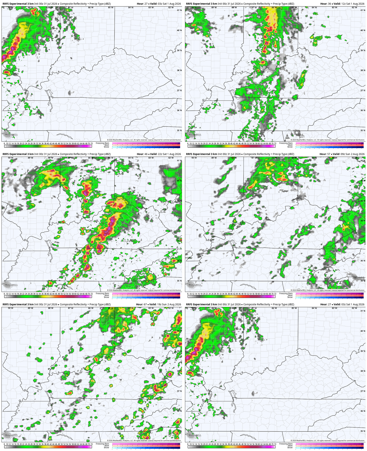
The future radar from the HRRR shows all this very well in this animation that starts this evening and runs through Sunday evening…
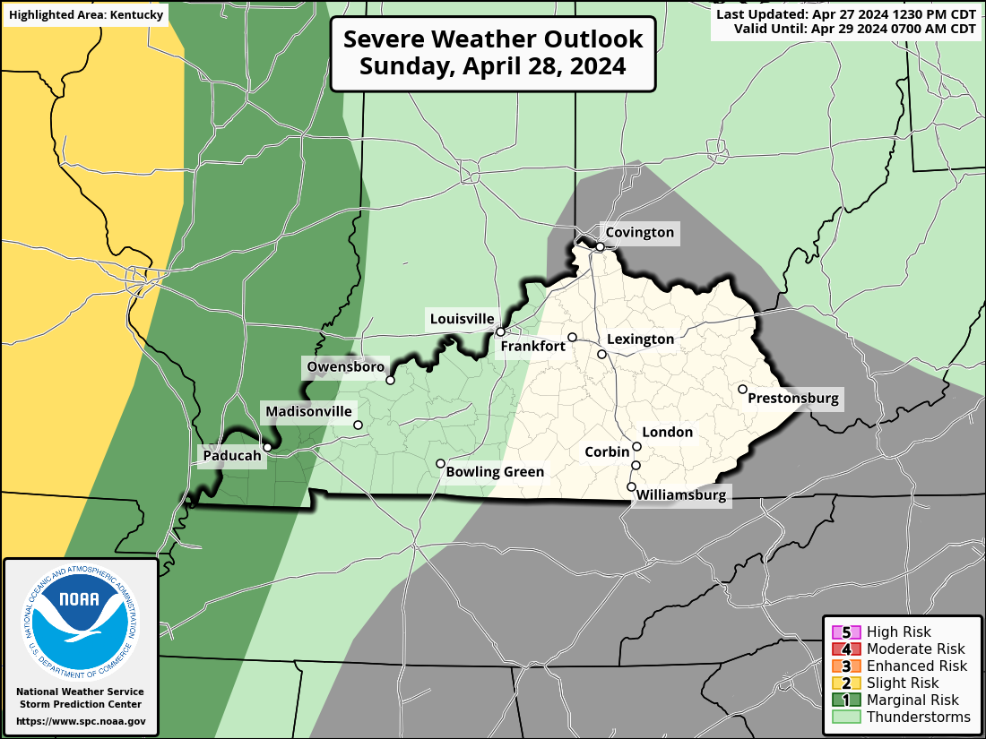
Here’s the Severe Weather Outlook for Saturday from the Storm Prediction Center…
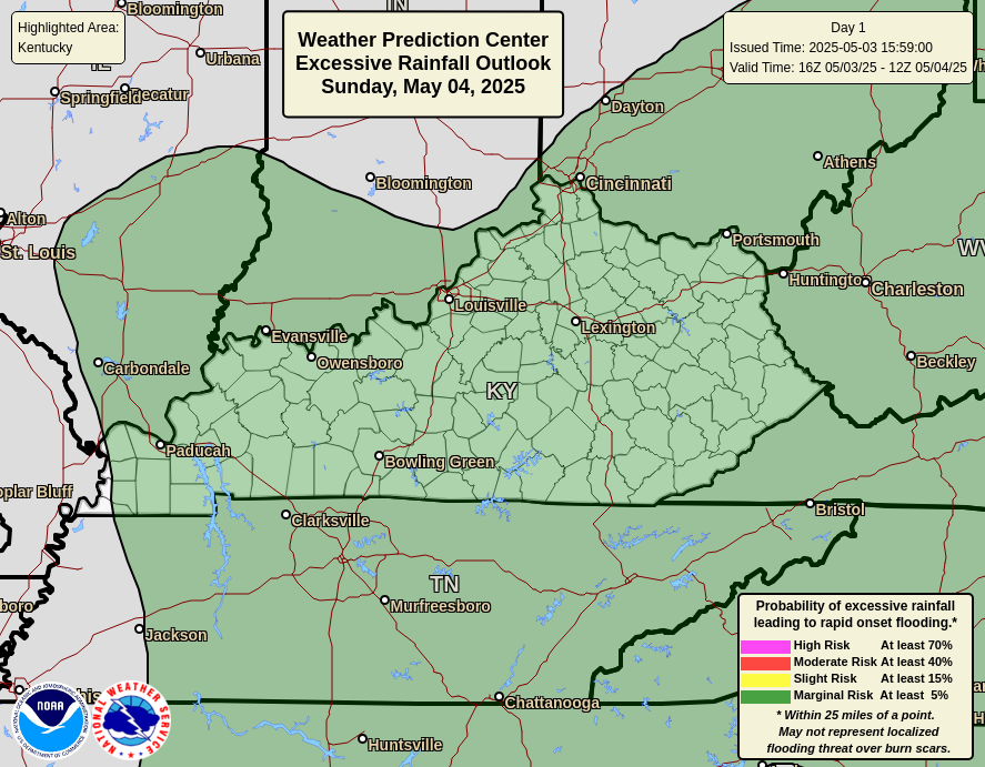
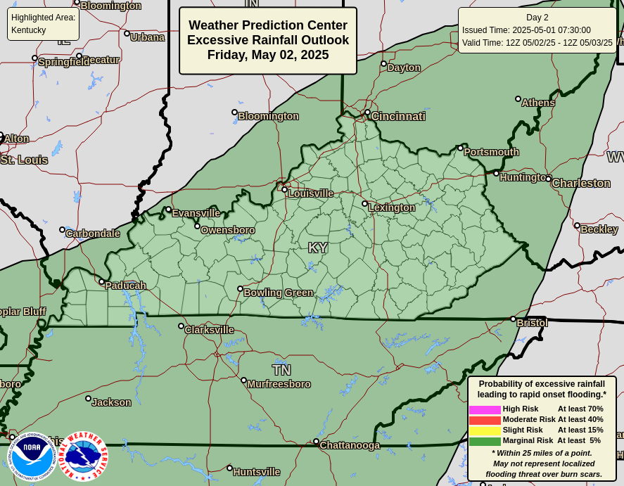
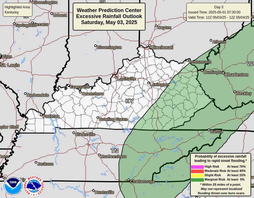
The Weather Prediction Center has our region in the Excessive Rainfall Outlook for the weekend. Here’s a look at today through Sunday…
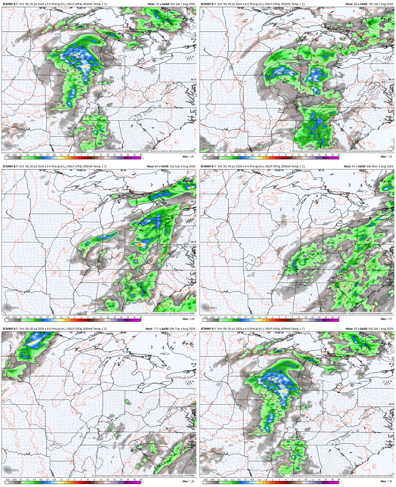
Some of the forecast models keep this upper low spinning around the region all the way into the middle of next week. The Euro is one of them. This animation takes us from tonight through Wednesday…
As always, I leave you with your daily tracking toys…




Current watches

Possible Watch Areas

Make it a fantastic Friday and take care.

Thanks Chris. I always welcome timely rains, but without the severe weather. Hoping that this unusual weather pattern continues through August.
Have a Bless day Everyone.
None of this is wanted or needed. Bring on the heat.
Turn off the heat. Bring on the cooler days of Autumn.
I’m with you Schroeder. I’m ready for some nice cool Autumn weather.