Good Tuesday, everyone. It’s another really nice temperature day across Kentucky as we track a couple of showers and storms against the grain. Once we get into the pattern of scattered storms, we are pretty much locked into a rather unsettled look.
Today will feature temps in the low and mid 80s for much of Kentucky with a few showers and storms across the southeast. These will drift farther west into parts of central Kentucky on Tuesday afternoon and evening.
The increase in moisture will continue for the end of the week as temps climb a little more. This increase will coincide with a couple of systems working in from the northwest this weekend. The overall weather picture will include more in the way of scattered showers and storms.
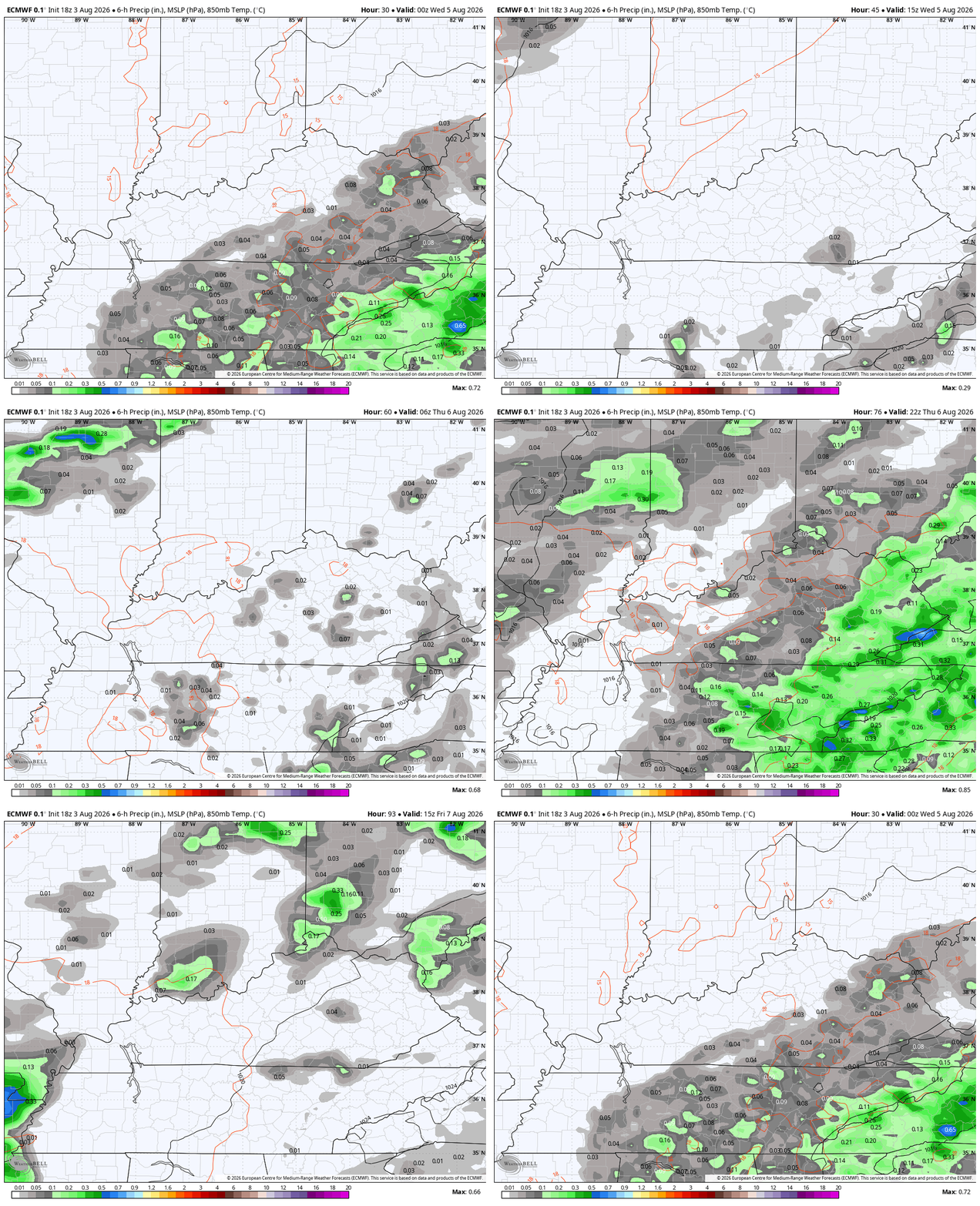
Here’s the EURO from this evening through Sunday…
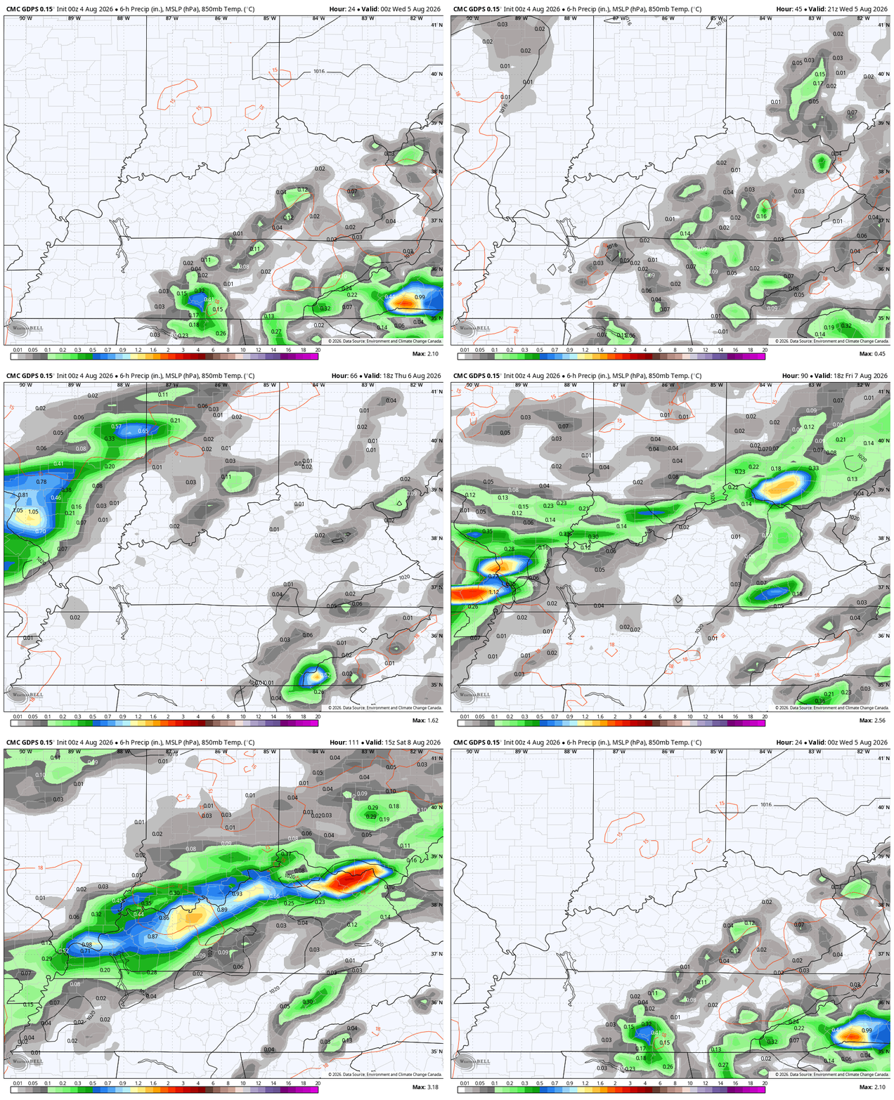
The Canadian during the same time…
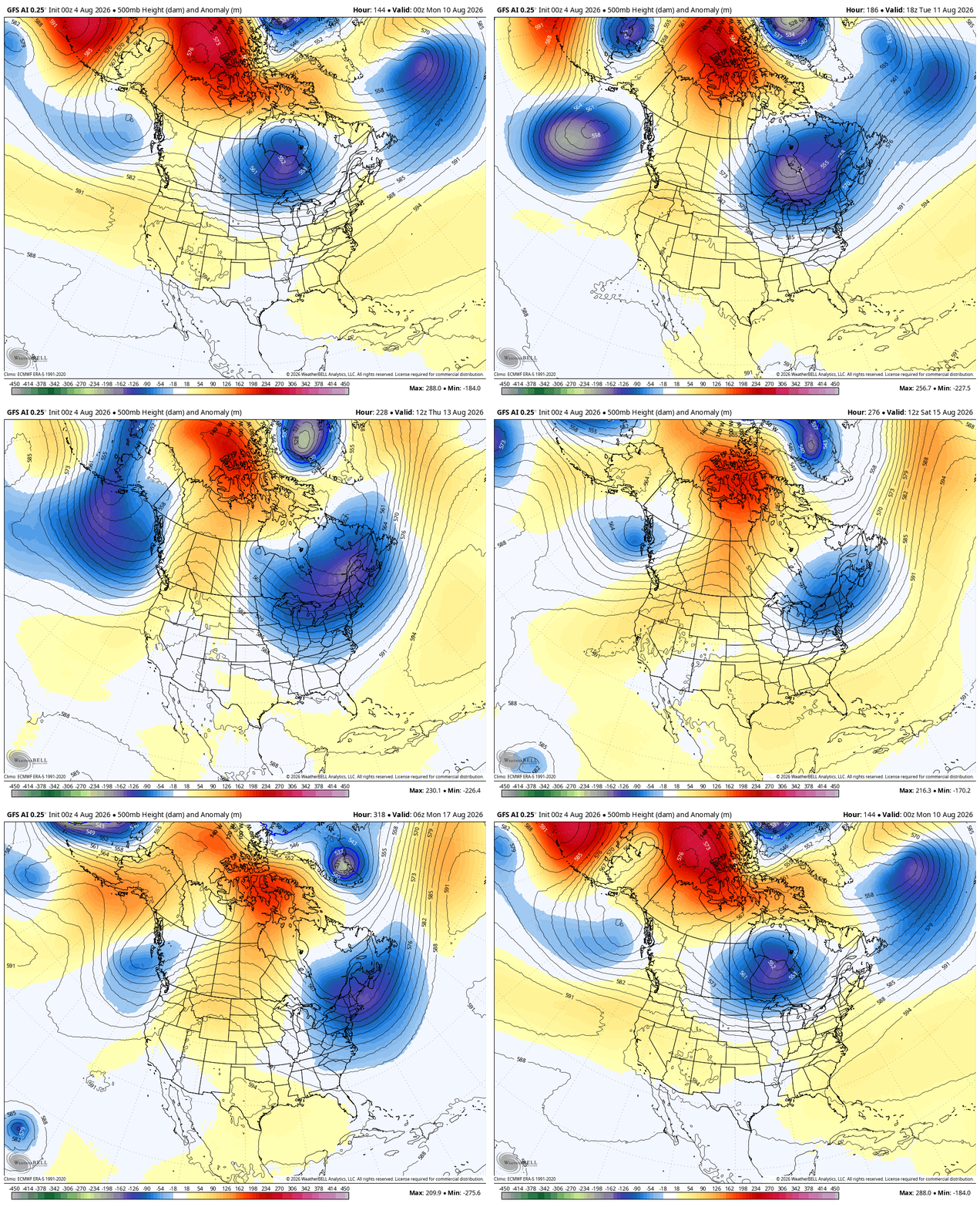
This will likely be followed by a series of troughs digging into the eastern half of the country for the middle of the month…
As always, I leave you with your daily storm tracking toys…







Thanks Chris. Very unusual weather pattern for August. It is getting increasingly interesting as we approach the Autumn month of September, with the possibility of an impact with a very strong El Nino, if the PDO ( Pacific Decadal Oscillation ) continues to move towards neutral and then positive towards mid – Winter.
Schroeder, the El Nino we are currently in has already outstripped the strong El Nino’s of the recent past, and the rise in sea surface temperatures in in record territory, both in rate of increase and more importantly, the depth at which the temperature rise is occurring. Also, this El Nino is a driving force behind the troughs we are seeing across North America, and as high pressure continues to grow over the Gulf of Alaska, this will increase. Finally, evidence continues to grow that the steady increases in atmospheric and sea surface temperatures has decreased the influence of the PDO substantially.
Thanks Joe. I can understand that the PDO is interrupted by the warming Sea Surface Temperatures, and the Atmosphere over the Pacific Ocean. I expect that this strong El Nino will dominate and dictate what kind of Winter we may receive here in the midwest.
All this just means a late season heat surge. Book it.
Jeff, with a strong High Pressure currently over Greenland, I don’t think so, but it could all change and we could have much above normal temperatures in the Fall months. That would certainly be depressing.
I do think so.
Jeff, here’s what has to happen to receive temperatures in mid- to upper nineties. There would have to be a true ” coupling ” between the central plains ” Heat Dome ” and the Bermuda High would create a broad ridge stretching from the southern plains to the east coast. If that happens, Kentucky could have several days with high temperatures in the mid and upper nineties to one hundred degree range.
Lucky for the rest of us, the jet stream has stayed active across the Great Lakes or Ohio Valley, it can flatten the ridge and allow fronts to sneak into Kentucky.