Good Saturday and welcome to the weekend. Steamy temps and scattered storms continue to rule the weather across Kentucky and surrounding areas. The setup turns downright hot for a day or two early in the week before rounds of bigger storms roll in.
Temps today are deep into the 80s with a mix of sun and clouds with a few storms showing back up. Any storm that goes up can be strong or locally severe, and put down heavy rains that can cause local high water concerns.
Sunday’s temps climb even more with isolated storms.
Temps by Monday and Tuesday will make a run toward the low 90s with humidity levels making it feel even hotter. A storm or two will be around on Monday with a better shot later Tuesday.
This is along and ahead of a cold front making a run at us from the northwest. This boundary may slow down on top of us with waves of thunderstorms dropping in from the northwest. Additional waves of storms likely follow that up later next weekend into early the following week.
The Euro has this look from the late Tuesday through the following week…
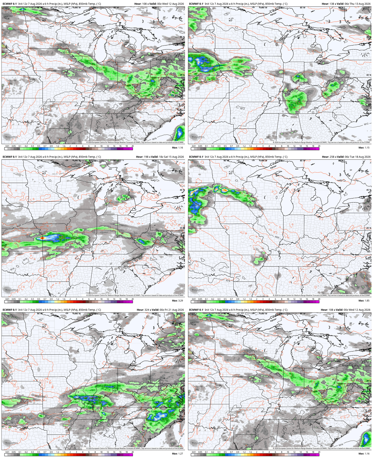
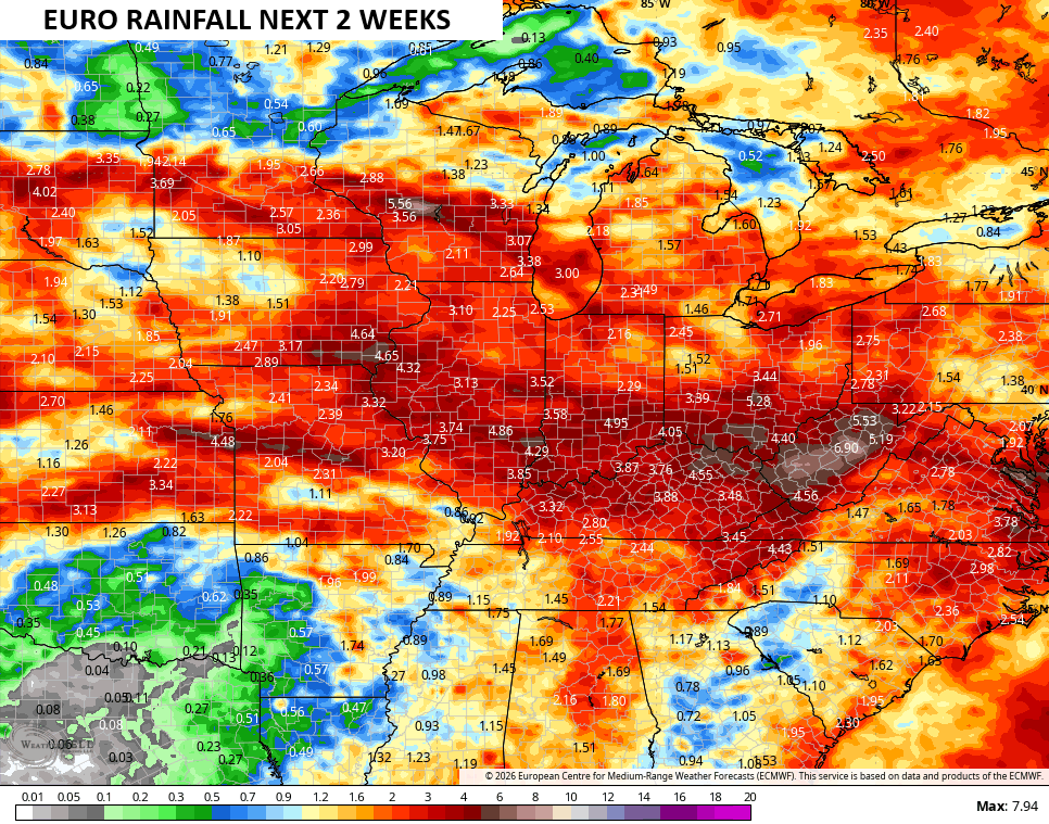
Some strong to severe storms will be noted from time to time. Rainfall amounts have the chance to really climb over the next two weeks…
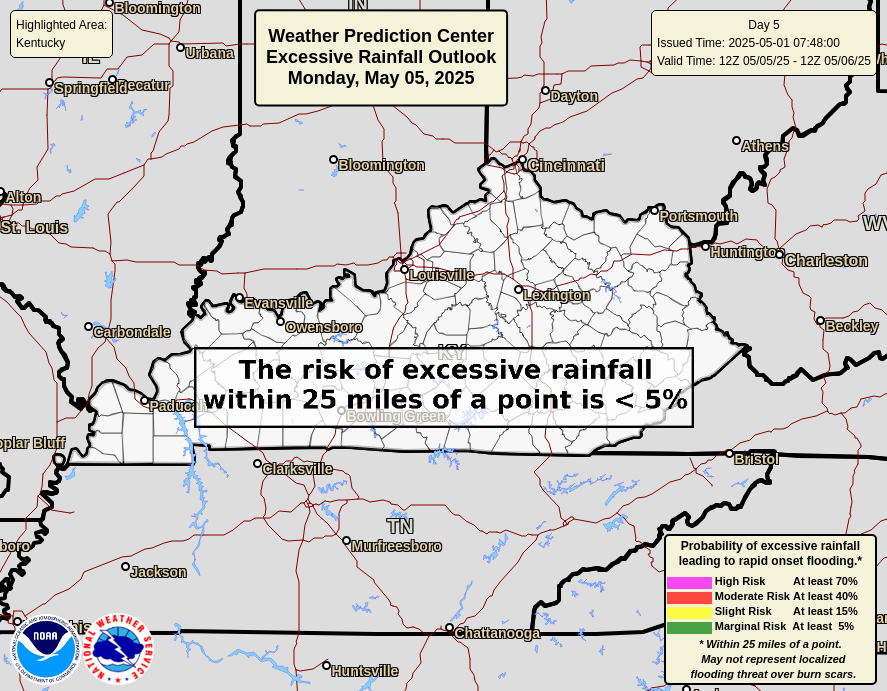
The Weather Prediction Center is already watching for the possibility of Excessive Rains showing up in our region from later Tuesday into Wednesday…

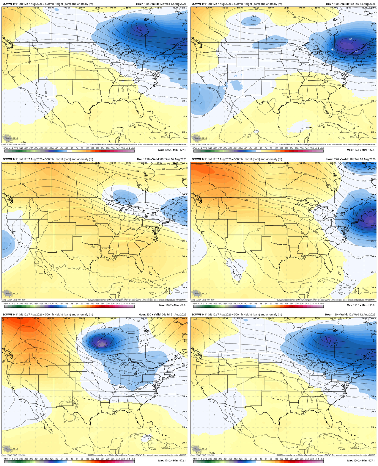
This active setup comes from big dips in the jet stream coming into the eastern half of the country over the next few weeks…
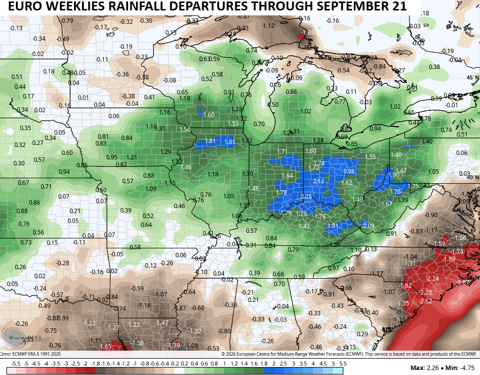
Looking farther down the road, the EURO Weeklies like an above normal rainfall pattern to persist through much of September with the bullseye of above normal rains on top of the Ohio Valley…
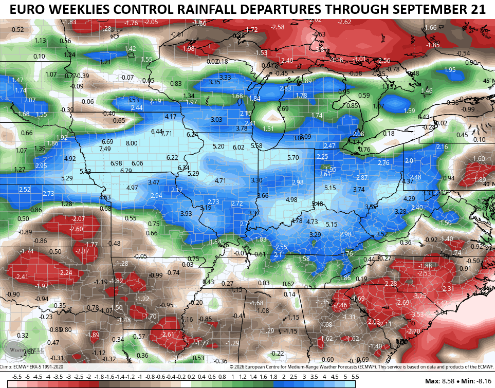
The single run of the Euro Weeklies are even wetter…
As always, I leave you with your daily storm tracking toys…







Those rainfall models will bust. 🙂