Good Monday, everyone. We find ourselves on the eastern edge of some mid-August heat and humidity, a location where big thunderstorm complexes like to rumble through. That’s exactly what we are seeing setting up shop this week with the potential for severe storms and heavy rains.
Temps are highly dependent upon the timing and location of these huge thunderstorm complexes dropping from northwest to southeast across the Ohio Valley today. This same setup will be with us in the days ahead.
The farther west you live in Kentucky, the hotter and drier the week is. The farther east and north, the better the chance to get pummeled by repeat thunderstorm clusters.
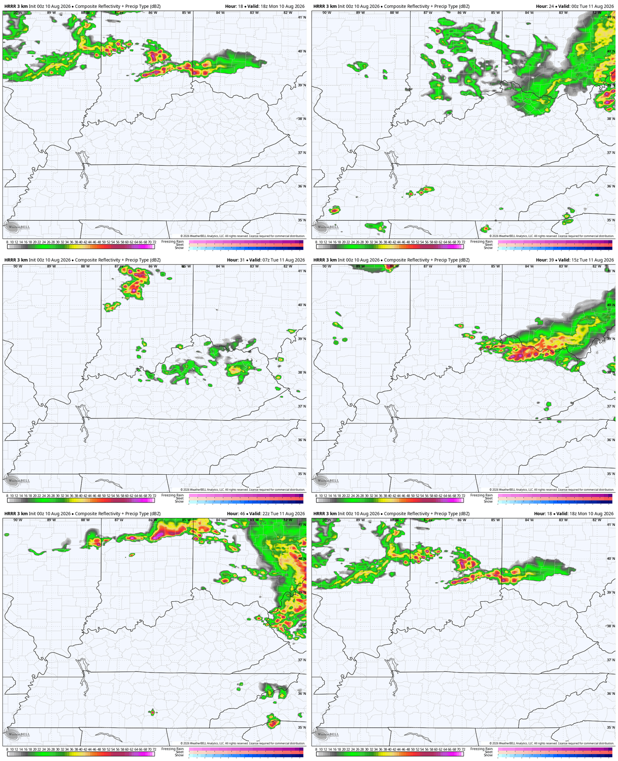
The future radar from the HRRR shows what I’m talking about with this animation starting this afternoon and running through 8pm Tuesday evening…
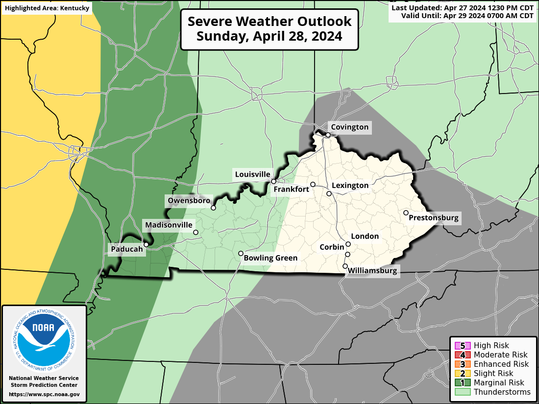
While the greatest threat for severe storms is to our north and northeast today, the low-end risk for severe storms does get into areas of central and eastern Kentucky…

The threat for damaging wind producing storm complexes comes much farther south Tuesday into Wednesday. This is where the Storm Prediction Center is also seeing a greater possibility of severe storms…

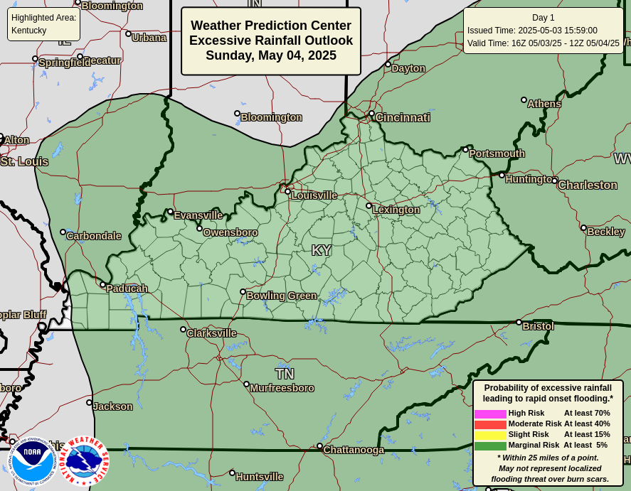
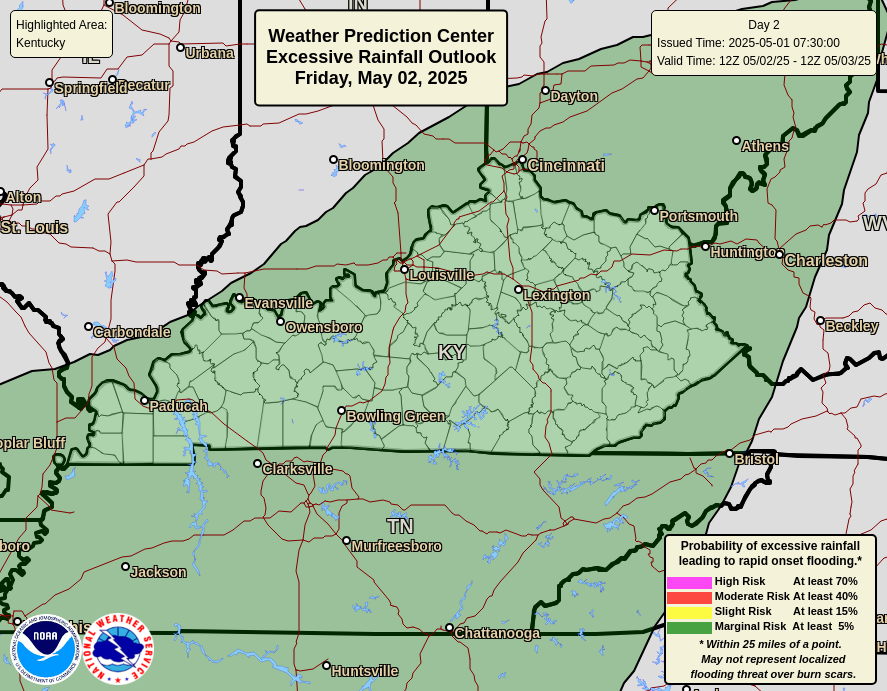
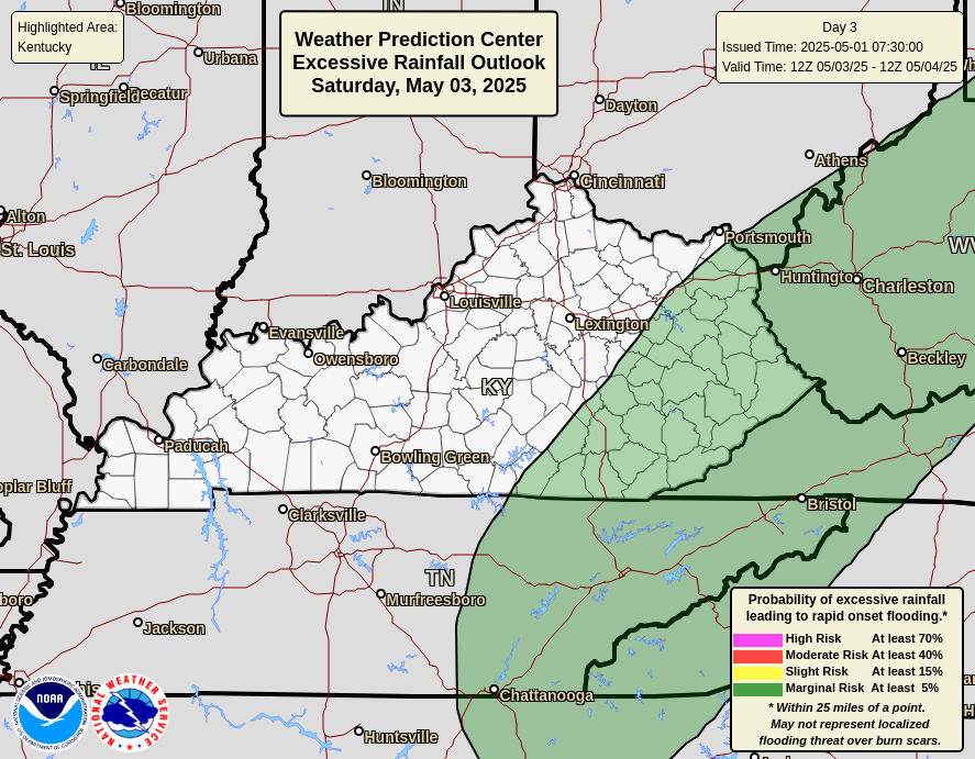
In addition to the severe storms risk, the potential for flash flooding is increased across the eastern half of the state. This threat will be amplified even more for our neighbors to the east into West Virginia. Please stay alert to the flash flood risk, folks. I don’t like the looks of this setup for the Appalachian Mountains.
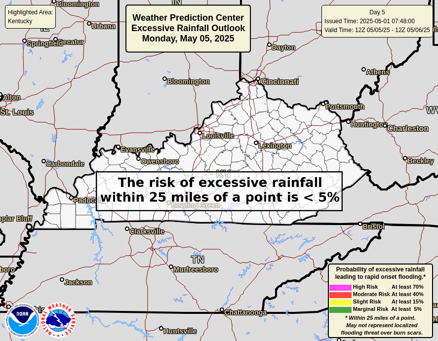
It’s a setup likely to continue on and off through the end of the week and, potentially, into the weekend. Here’s what the Weather Prediction Center is looking at for the flooding risk in the days ahead…

As always, I leave you with your daily storm tracking toys…







Thanks Chris. Very hot and Humid, and no chance of rain is in my forecast. Typical August weather for our area of Kentucky. Temperatures are forecast to approach 100 degrees many times in the coming weeks. The worst has happened, the amplified Southeast Ridge has coupled with the strong High Pressure Ridge to our west. Doesn’t look like this pattern will ” break down” anytime soon. The Appalachian Mountains has a very different climate due to the elevation factor. Never has drought, or extreme heat. Check out all the beautiful plant life that grows naturally there.
Adding to the above : The Pacific Decadal Oscillation, I feel has changed our climate over the entire World, by being negative so long. Shows no sign of changing to the positive. May be permanent ? When the PDO is positive during El Nino Winters, we have an increasing chance of Snowstorms in our area through the Winter months.