Good Tuesday, everyone. It’s a very active weather day across our region with waves of severe storms and the increased threat for flash flooding. This is a setup that stays with us for much fo the week, bringing more in the way of big storms and torrential rains.
Here’s a breakdown of how things play out:
- Central and eastern Kentucky are in the line of fire for multi waves of strong to severe storms today and Wednesday.
- These massive storm complexes will be dropping in from the north and northwest.
- The first arrives this morning with a bigger complex focusing farther west late this afternoon and evening.
- Damaging winds are the primary threats from these storms.
- One or two of these complexes today into this evening may contain widespread wind damage.
- A few tornado spin ups will also be possible.
- Massive amounts of rain will fall in some areas with several inches possible in a short amount of time.
- This may lead to significant flash flooding issues for some areas.
- More in the way of clusters of strong to severe storms will be with us later Wednesday and likely last into Thursday and Friday. This will also lead to more flash flooding.
The future radar from the HRRR runs through Wednesday evening, showing the repeat waves of strong to severe storms…
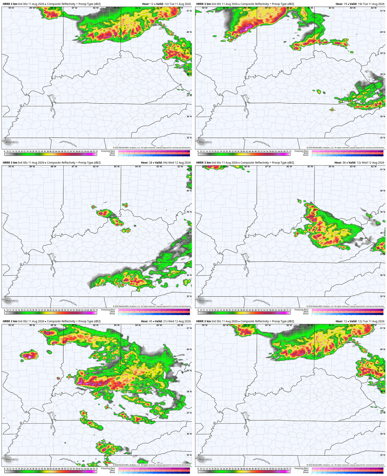
That’s ugly.
The Storm Prediction Center has the Enhanced Risk for severe storms across much of our region today…

Damaging winds up to 70mph will be possible…

There’s also a low-end risk for a few tornadoes to go up…
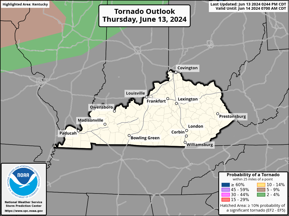
Here’s the SPC Severe Weather Outlook for Wednesday…
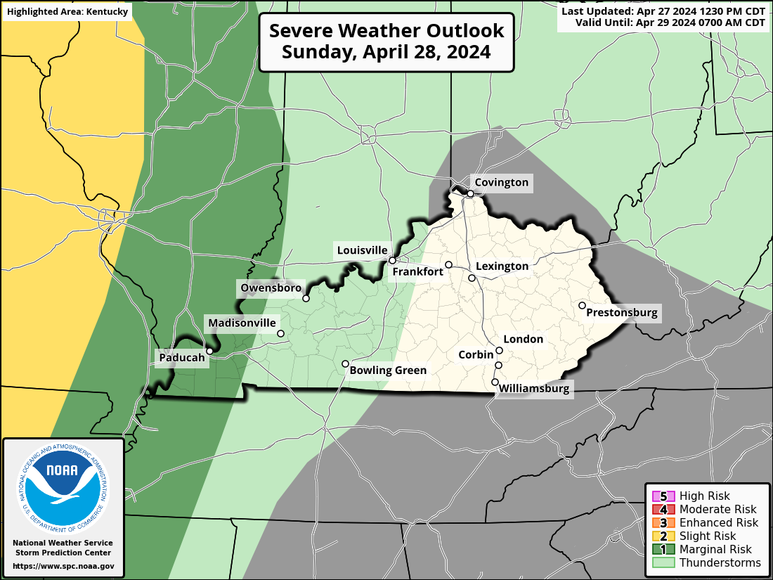
Here’s the threat for Thursday…

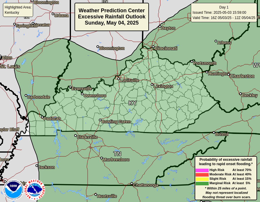
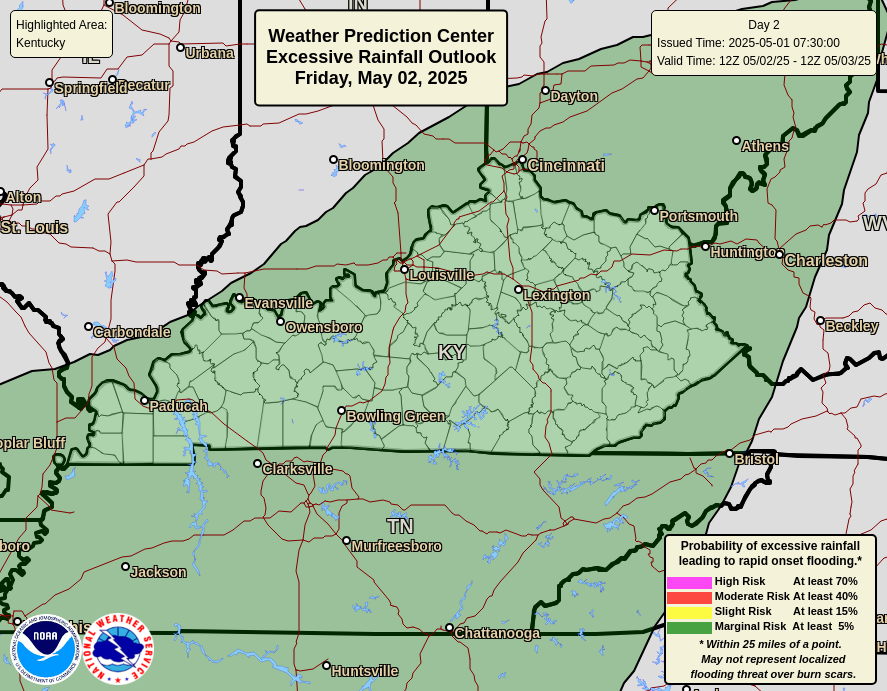
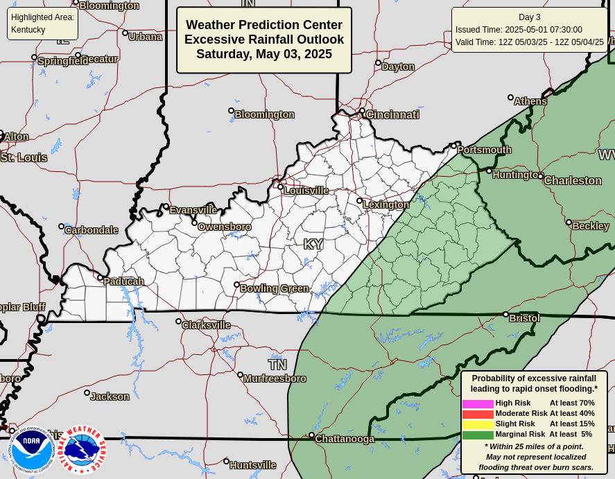
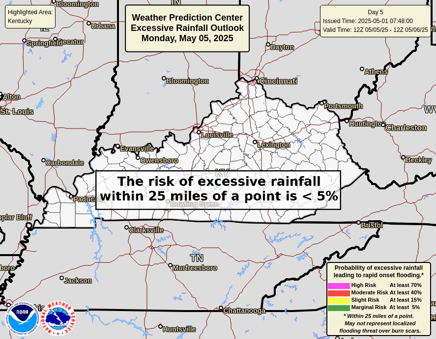
Here’s the Weather Prediction Center’s flood risk outlook from today through Saturday…

As always, I leave you with your daily storm tracking toys…






