Good Wednesday to one and all. It’s another day of waves of strong to severe storms causing issues across Kentucky. These storms will contain more in the way of damaging wind and put down torrential rains that will cause more flash flooding.
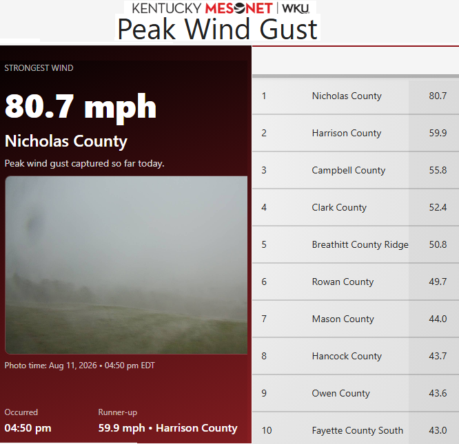
Damaging wind will be the primary severe storms concern out there today, but let’s hope this wind gusts don’t get anywhere close to the hurricane force strength we saw on Tuesday. Check out the peak wind gust of 81mph…
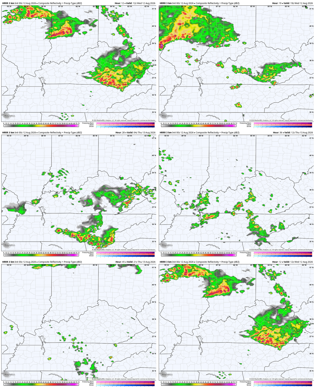
The storms of today will be dropping in from the northwest, impacting much more of Kentucky than the storms on Tuesday. The HRRR Future Radar gives us a good look at these waves of severe storms that calm down a bit on Thursday. This animation runs from this morning through Thursday…
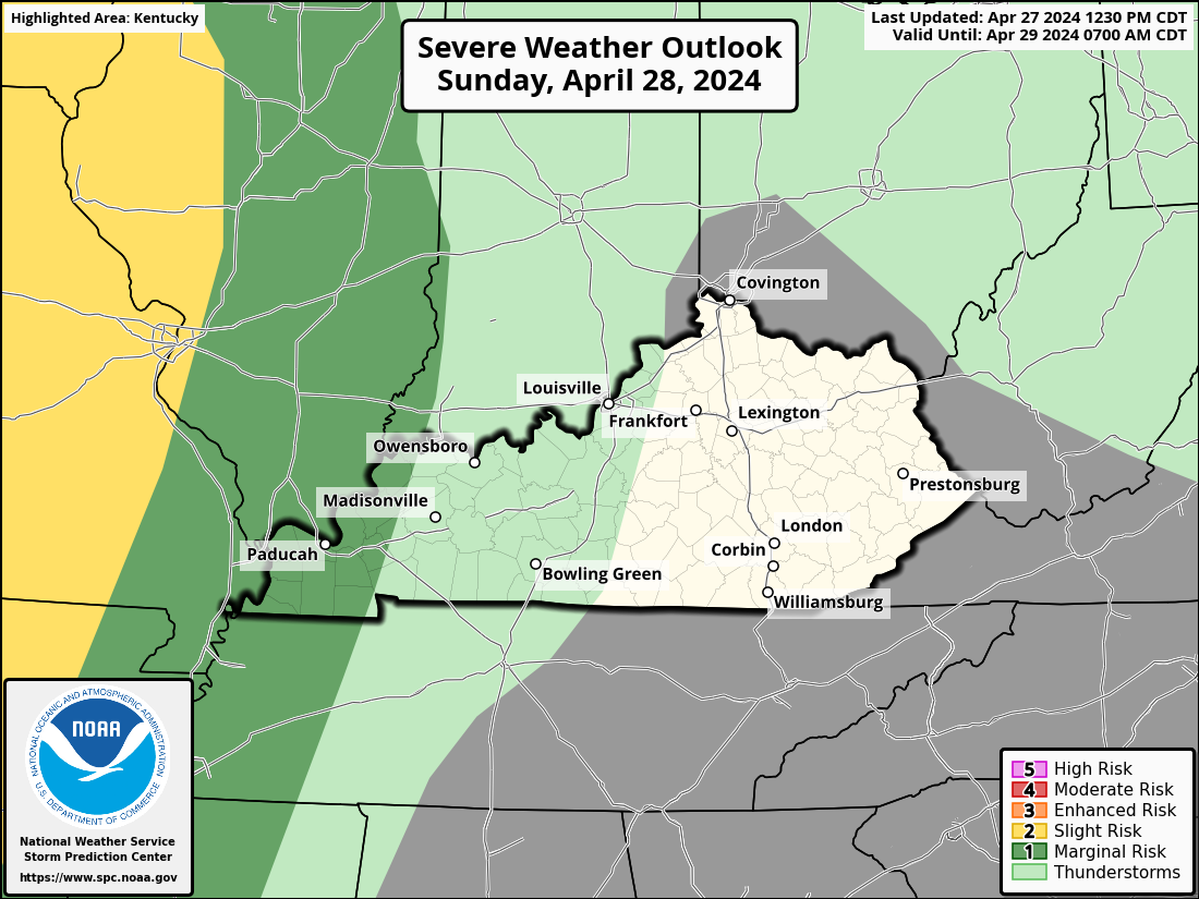
The Storm Prediction Center continues to highlight today’s threat in the Severe Weather Outlook…

Once again, damaging wind is the primary player…

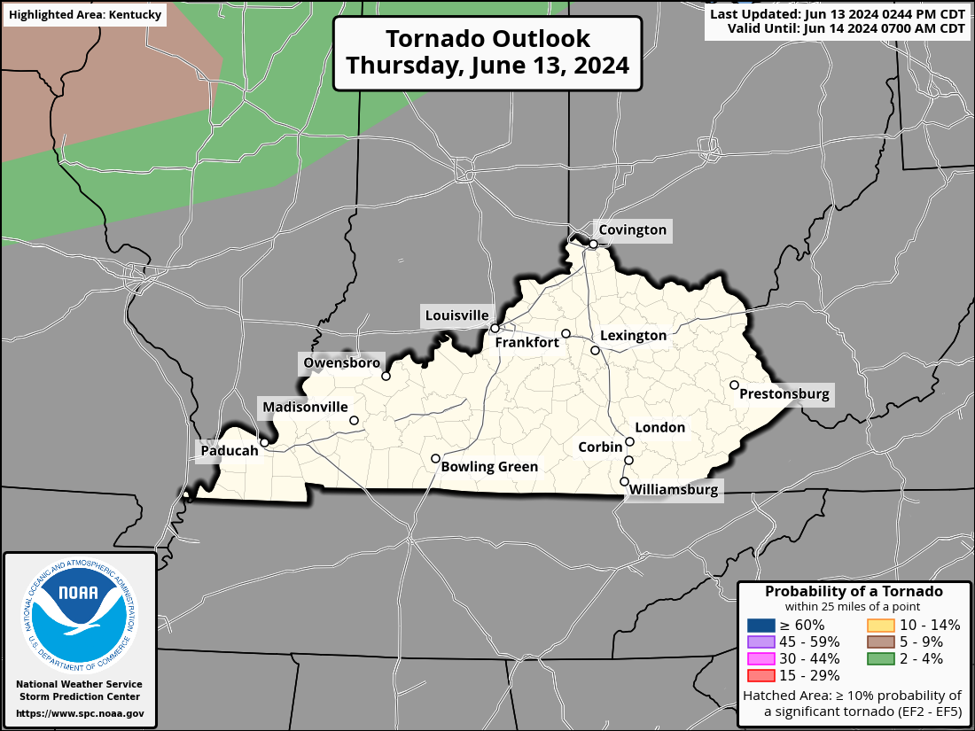
The risk for a tornado is fairly small…
The severe storms threat for Thursday is lower for the entire region…
It’s another day of potential significant flash flooding across central and eastern Kentucky with a lower threat going all the way into western Kentucky…
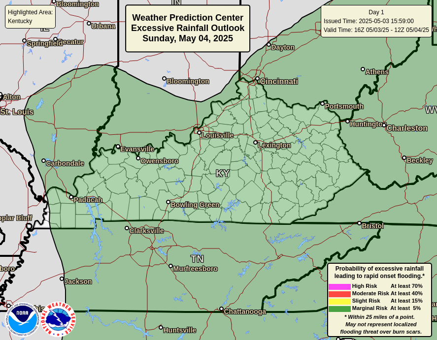
The threat is still there, but comes down for Thursday and Friday…
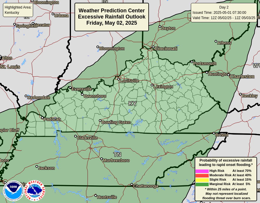
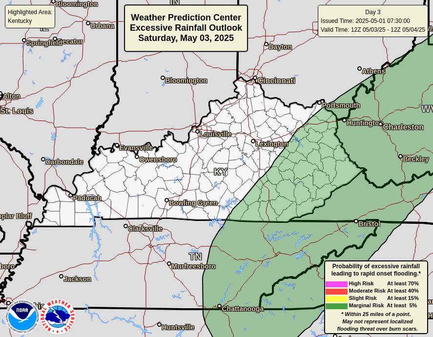
As always, I leave you with your daily storm tracking toys…







Lousy excess rain unnecessary.
We had a decent thunderstorm yesterday evening. Rainfall total 1.65 ” I welcome any amount of rain that falls in the month of August. Jeff, you will like the temperatures coming up over the next couple of weeks. A forecast of 104 degrees is in Maple’s forecast. I hope it doesn’t get that hot.
104 seems a bit much
The highest temperature I’ve ever experience was 105 degrees up in Indiana on July 4, 1976. I had an established Nursery then, but I couldn’t work out in that kind of heat. Turned on all the sprinklers for the plants, and stayed indoors in the AC. That was an extreme temperature change those years 1976 – 77. Went from 105 degrees in July to 25 degrees below zero in January.
Tropics are getting active. Where’s El Nino’s reactive influence ?
I officially got a portable AC for my small 165 sq ft bedroom.. I made sure to get dual hose. It’s amazing and I don’t have to feel guilty about turning it to 67/68 as it’s super energy efficient.
Oh and BTW – loudest thunder and lightning I’ve seen/heard all year this morning.. and in AUGUST of all months. I think from the three storms we had yesterday the rain must be over 3 inches.
Mark, glad to see you back posting again. Your Air conditioner sounds great. We had loud thunder and vivid lightning yesterday evening. I unplug every appliance, as this house has been struck 4 times in 17 years.
I’ve heard you can put two frozen water bottles on the back
Of a box fan and that can act as a type of air conditioning.
That would work in a pinch.
This is the weather pattern probably through August : )
https://climateimpactcompany.com/daily-feature-explosive-heatwave-flash-drought-mid-south-southeast-u-s-ahead-2/