Good Thursday to one and all. Our day is starting with a big complex of strong to severe storms rumbling from west to east. This is ahead the first in a series of cold fronts working across the region over the next week.
The complex of storms this morning will bring the best chance of severe weather to the western and south central parts of Kentucky before the sun comes up this morning. Our line will slowly weaken the farther east it gets but I could see some wind issues all the way to southeastern Kentucky.
These storms will also produce a tremendous amount of rain, leading to some flash flooding issues.
This complex of storms will be out of the state by the middle of the morning with clouds and scattered showers and storms into the afternoon. Highs may not get out of the 70s for many parts of the state.
The potential is there for some showers and storms to linger into Friday, especially across central and eastern Kentucky. This doesn’t appear to be widespread by any means and you can see how the showers and storms are spinning on the backside of a low to our east…
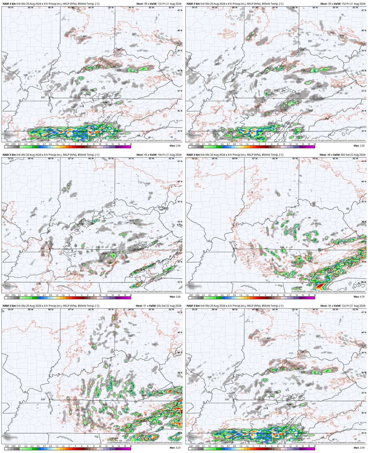
Much of that should be gone for the kickoff of the High School Football season, but it might be a close call for areas in the east.
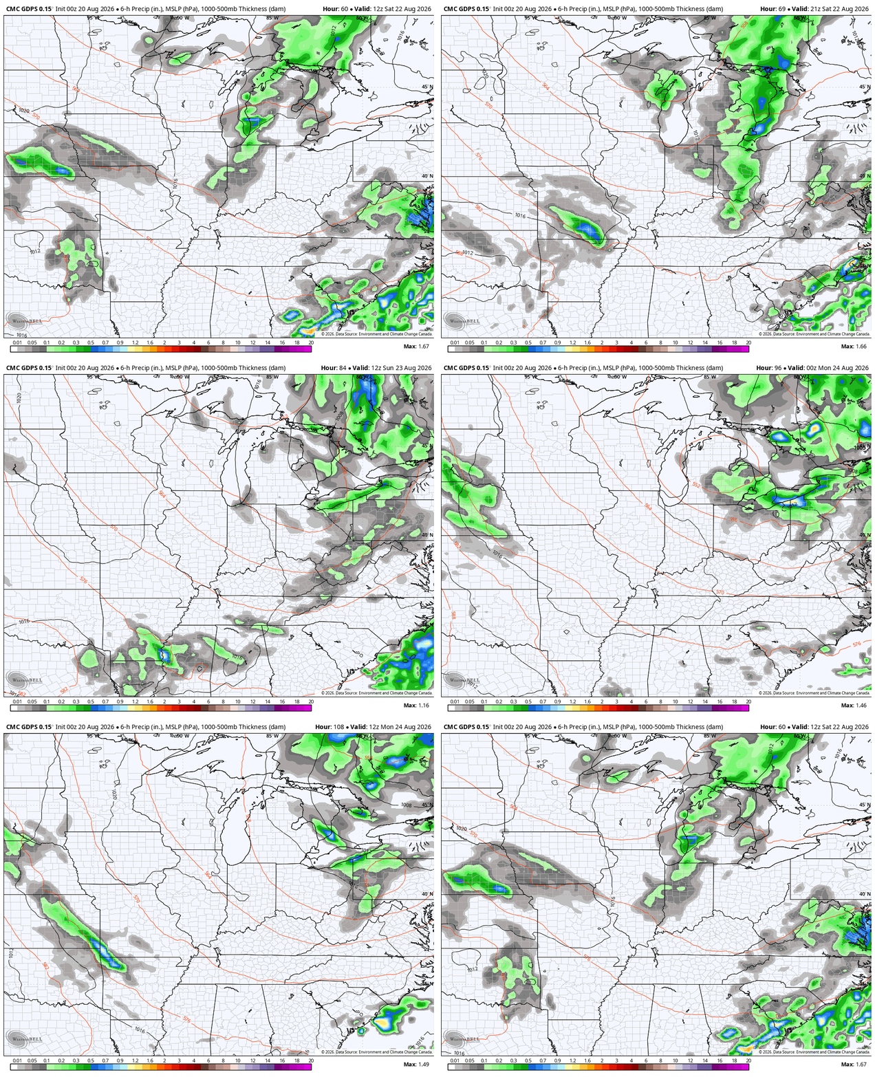
Another cold front then drops in here later Saturday, bringing a band of showers and storms along and ahead of it…
September air flows in behind this with well below normal temps through the first half of next week…
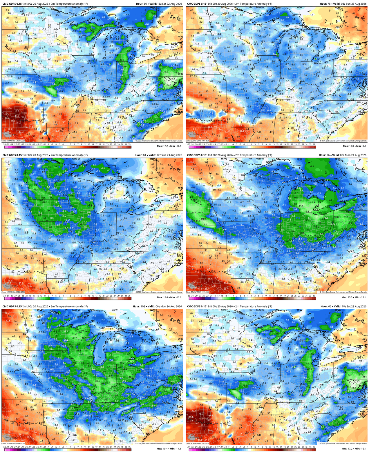
Highs in the 70s and lows in the 50s will be a good bet for a day or two, at least.
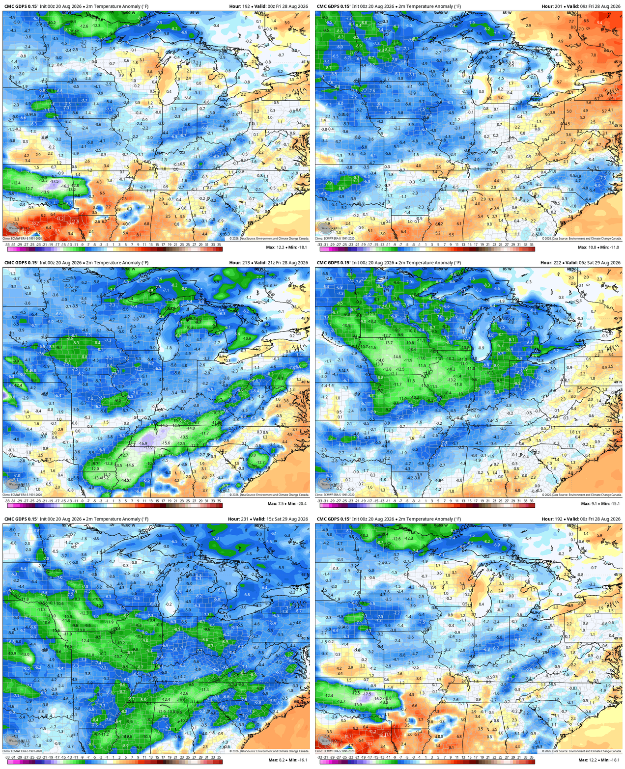
Another cold front arrives with a reinforcing shot of awesome air later next week into the following weekend…
As always, I leave you with your daily storm tracking toys…







Thanks Chris. We had about .33 ” here in Maple. No severe weather, just a dying thundershower, as the leading edge entered Taylor County. One thing about the Southeast Ridge it prevents the storms from reaching severe limits.
Central Warren County finally picked some badly needed rain, with 1.05 inches falling 29mph wind gusts. The tradeoff was meaningful sleep, as extremely loud low-base thunderstorms with frequent cloud-to-ground lightning trained over the area between 1:00am and 4:00am. South Central Kentucky should see upper 80’s to low 90’s for the balance of the month, with a bit less humidity. I don’t see triple digits in our future for the balance of the month, but recent years has shown that anything is possible in September. Maybe we should make it official and call it a summer month 😉
“Well below normal” is overblowing things a lot.