Good Wednesday to one and all. After a brief visit by calm and pleasant skies, rounds of showers and storms are ready to rumble back across the Bluegrass State. This action is ahead a series of cold fronts that will bring below normal temps over the final few weeks of the month.
A complex of showers and storms will be noted across western Kentucky this morning, but this weakens the farther east it gets. Clouds and any scattered shower or storm going up will mean temps likely get held below normal yet again.
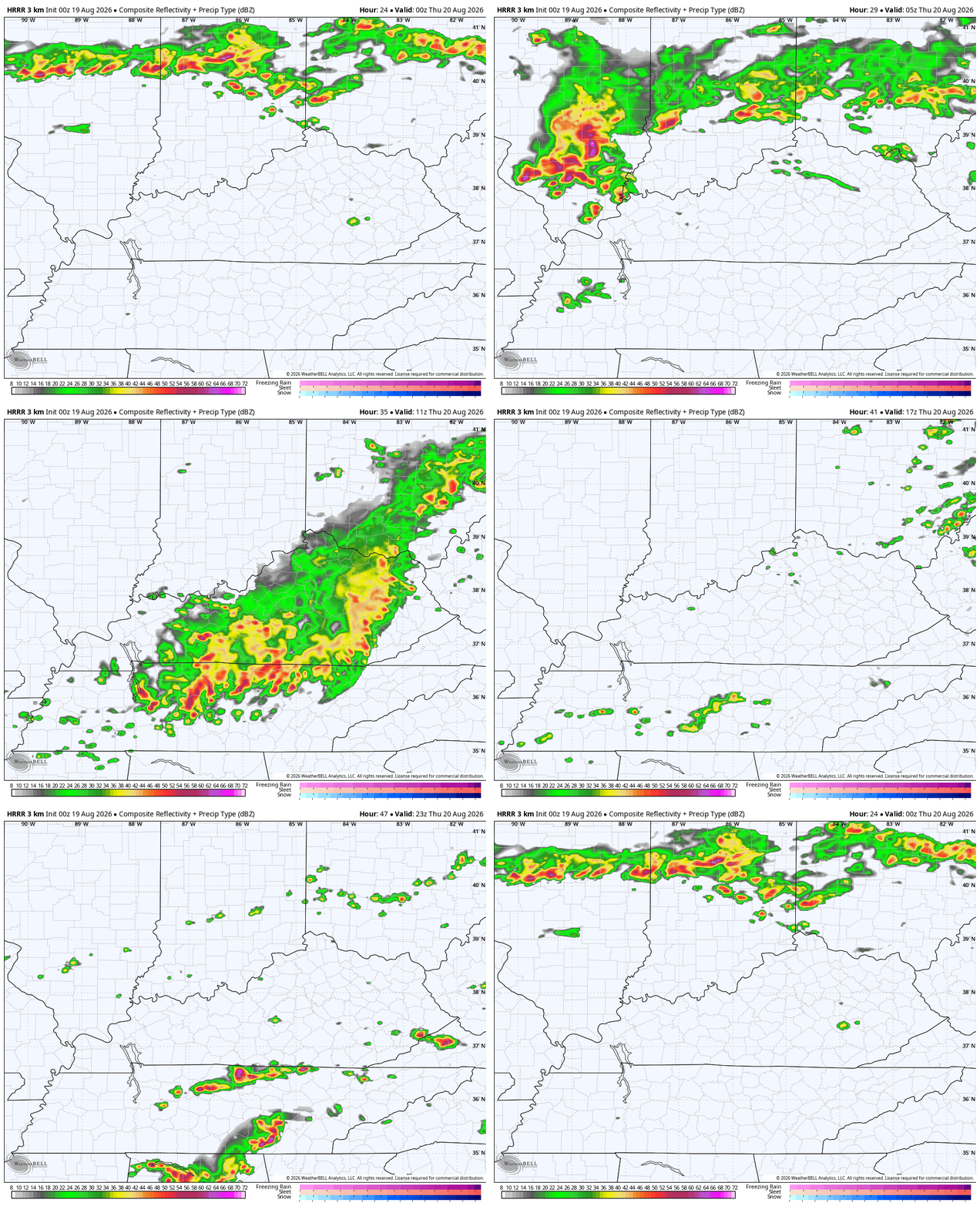
A bigger complex of storms will then develop to our west and roll in overnight and early Thursday morning. This will likely contain a lot of heavy rain with some scattered showers and storms behind it for Thursday.
The Future Radar from the HRRR shows this well…
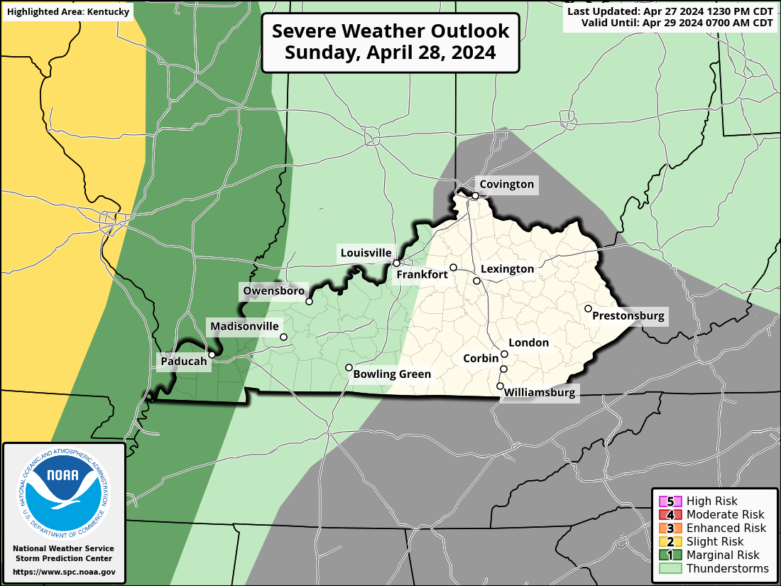
The potential is there for a few severe storms out of this complex of storms. The latest from the Storm Prediction Center has much of the region in today’s Severe Weather Outlook…

Here’s the tornado risk for today…
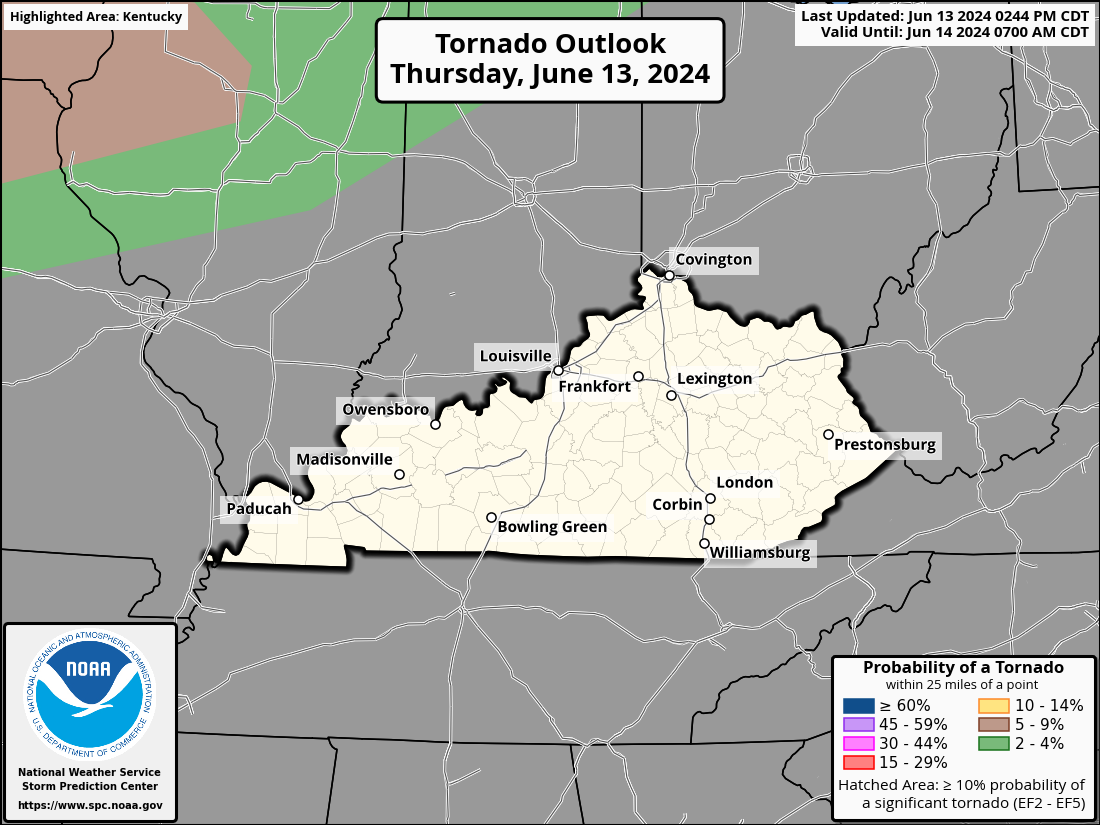
The risk for damaging wind is the primary player…

Much of the severe threat pushes to our southeast on Thursday…
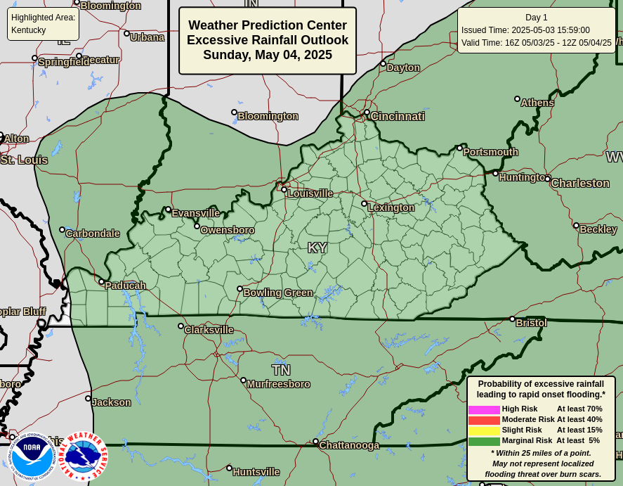
I’m also concerned with the possibility of flash flooding from these storms tonight and Thursday morning. The Weather Prediction Center is highlighting the possibility…
Lingering showers and storms may hang around into the first half of Friday, especially in the east. This will be followed up by another system dropping in with a few showers and storms over the weekend…
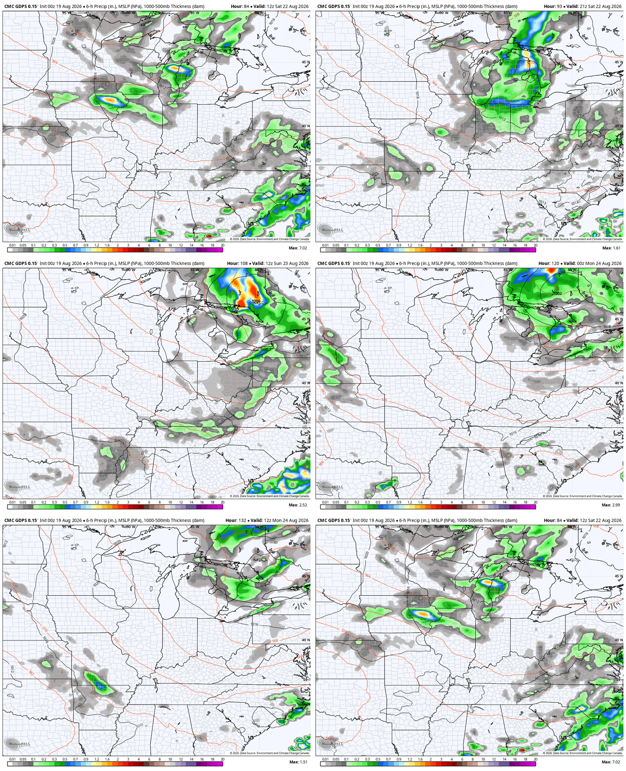
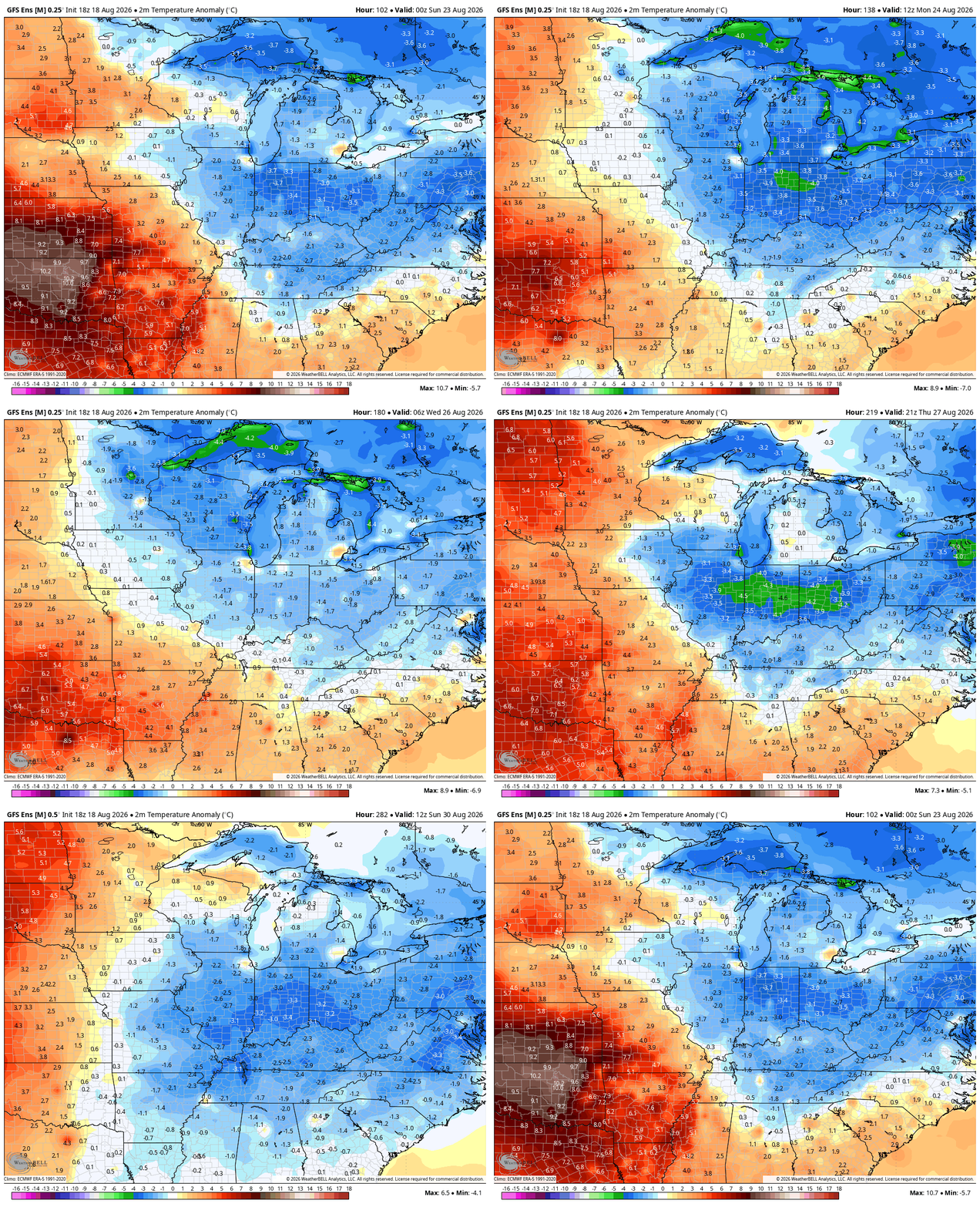
That brings in much cooler air behind it into early next week. Many of the models are suggesting temps skew cooler than normal through much of the rest of August…
As always, I leave you with your daily storm tracking toys…







Thanks Chris. Hoping it Rains this time, in my County of Taylor. The strong Southeast Ridge has really kept the good rains well to our north in recent days. Hoping it continues to weaken, and moves farther out in the Atlantic. Also the Pacific Decadal Oscillation maybe heading towards neutral, and hopefully to positive. Then El Nino will react to the atmosphere, bringing a strong southern jet stream providing a series of storms this Winter. What precipitation type for Kentucky depends on how much cold Arctic air is involved at the surface.
Correction to the above : Deep cold Arctic air from the upper levels to the surface. Precipitation would be all Snow.
It look earlier that the driest areas of the state would have least received a good shower. Like Chris said it’s weakening as it moves into Central Kentucky. Southeast Ridge wins again. It can’t stay strong forever.
Here’s hoping that the models will bust.
They will.