Good Friday, everyone. We’ve made it to the end of the week and the start of the weekend as we track a series of cold fronts. The front rolling in this weekend will have a full-blown September temperature behind it.
Let’s start with things out with what’s going on today. Highs are generally in the 80-85 degree range with a few showers and storms going up. The best chance is across the east and southeast and these look fairly scattered. I can’t rule out one or two blowing up across central Kentucky, but much of the region should be dry.
Most of the high school games should go off without any issues this evening.
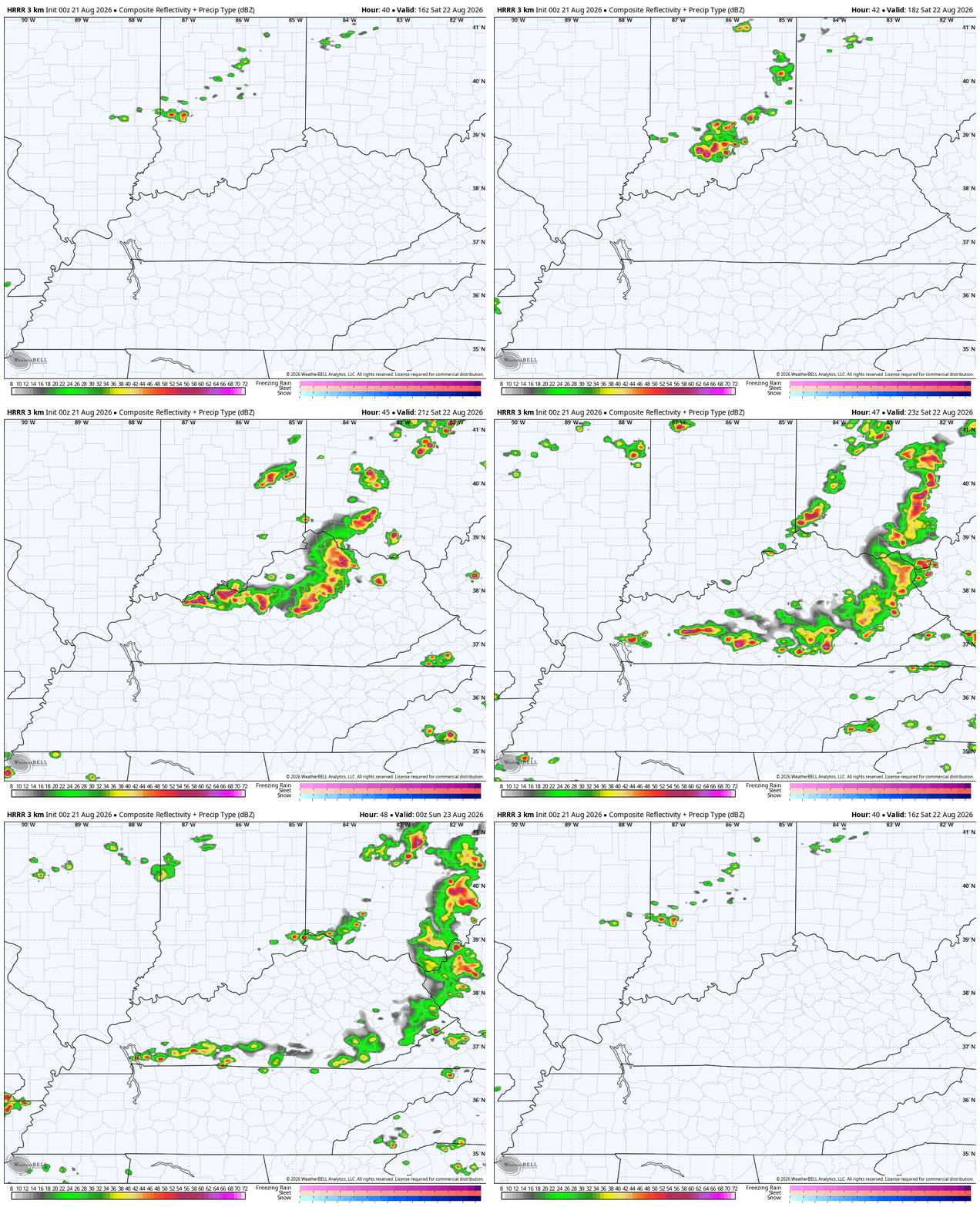
Saturday finds a fast-moving cold front diving in here from the northwest, bringing a broken line of showers and storms along for the ride. Notice how these develop right on top of central and eastern Kentucky before they quickly zip to our east and southeast…
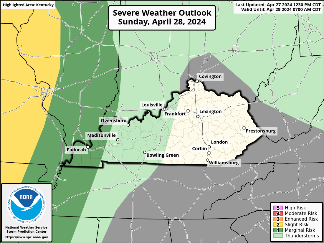
There is a low-end threat for a few severe storms across the eastern half of Kentucky. Here’s Saturday’s Severe Weather Outlook from the Storm Prediction Center…
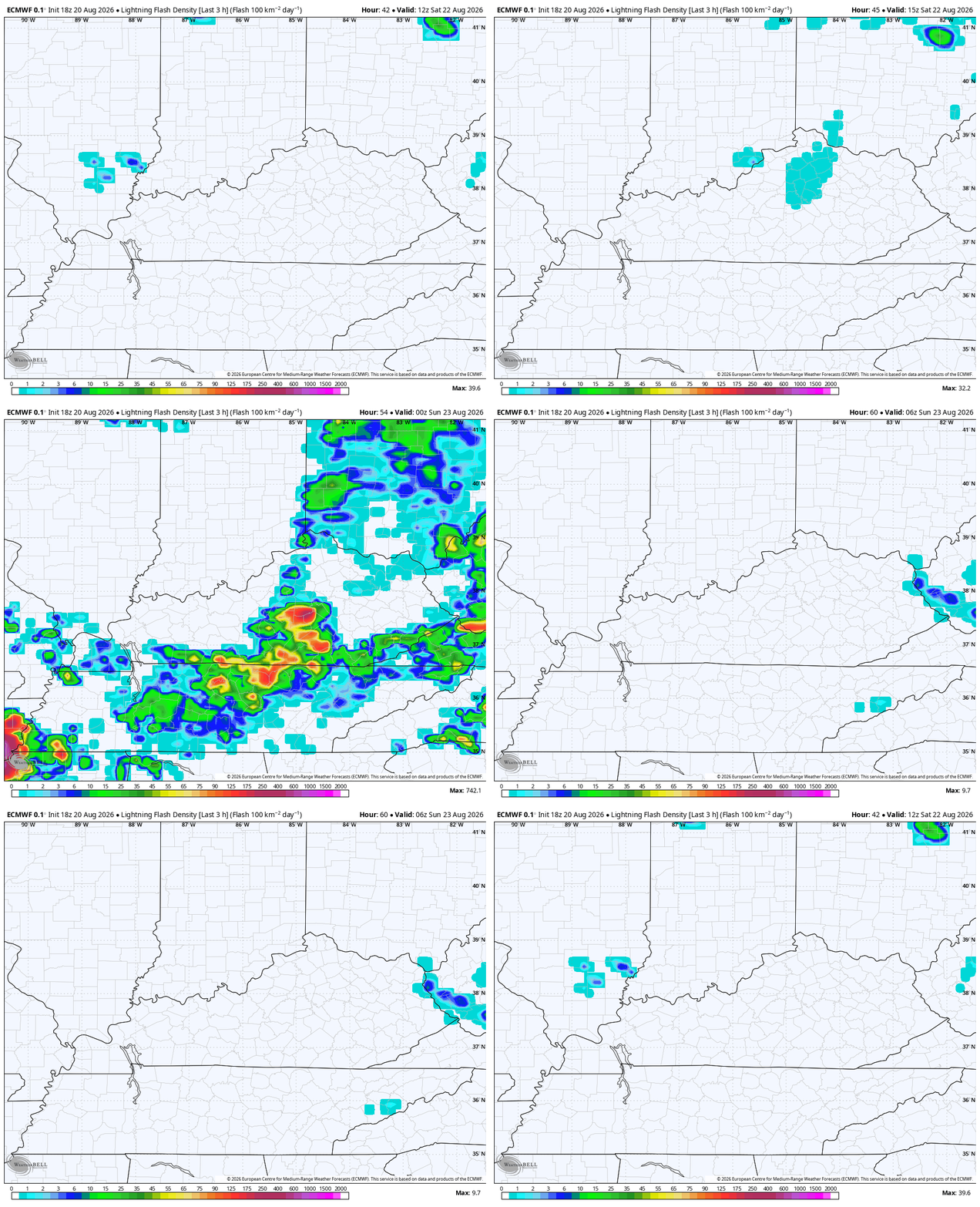
Any storm that goes up will also have a decent amount of lightning as well…
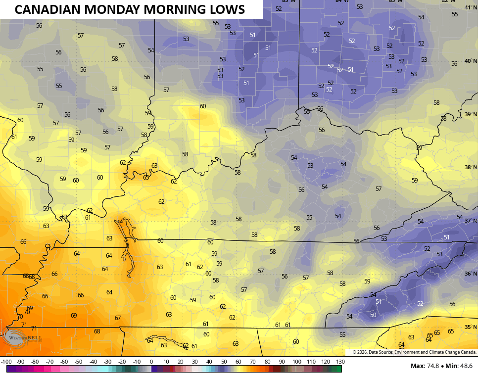
Temps coming in behind this are pretty awesome for Sunday and Monday with upper 70s and low 80s with low humidity levels. Lows can drop into the 50s as well…
Another system drops in from the northwest and may slow down throughout the week, bringing some showers and storms back into the picture as early as Tuesday. The models are trying to figure this out but the potential is there for some showers and storms late Tuesday through Friday…
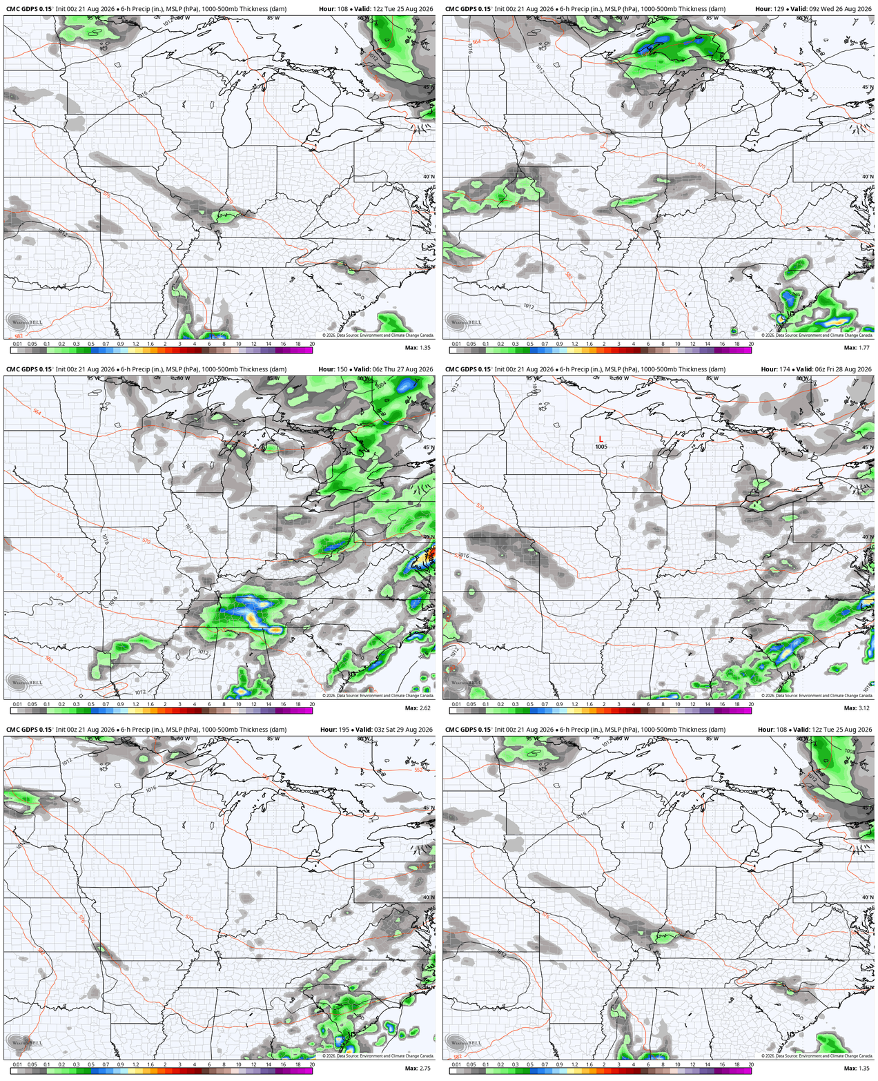
As always, I leave you with your daily storm tracking toys…







Lowest forecast high so far is 78 on Monday. Very nice, but not well below normal.
Thanks Chris. Maybe with the next precipitation maker, my area will receive a better accumulation of rain. Temperatures are slightly coming down, as we approach the Autumn month of September. Doesn’t mean that Summer weather is over Jeff.