Good Wednesday, everybody! It’s another really nice temperature day across Kentucky with clouds and a few storms impacting parts of the region. This is ahead of a bigger change with temps trending up as we close out August and begin September.
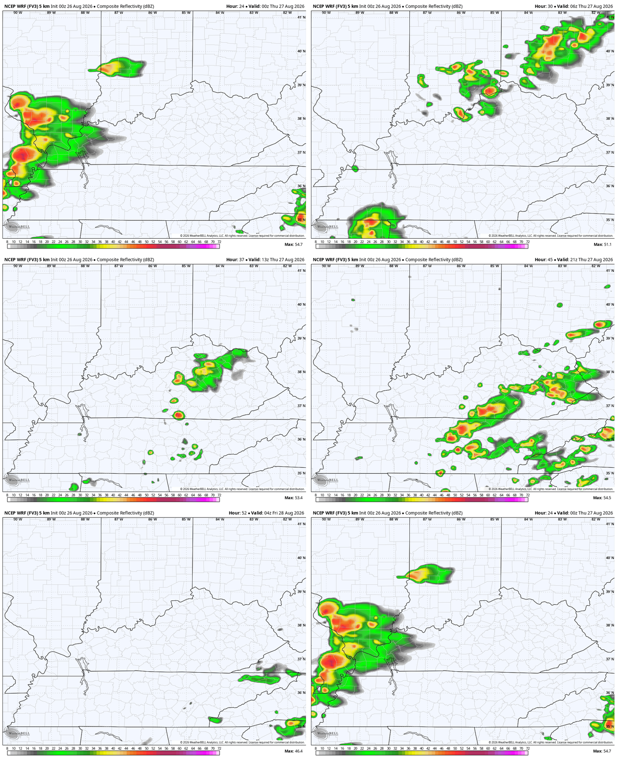
Temps out there today are mainly in the 80-85 degree range with a few storms rumbling across western Kentucky. This action will weaken as it moves east, but there’s the low-end risk for a few strong or severe storms in the west…

As a cold front moves through on Thursday, some showers and storms go up from time to time but nothing is widespread. We may actually get a broken line of showers and storms arriving later tonight with more scattered stuff going up tomorrow afternoon…
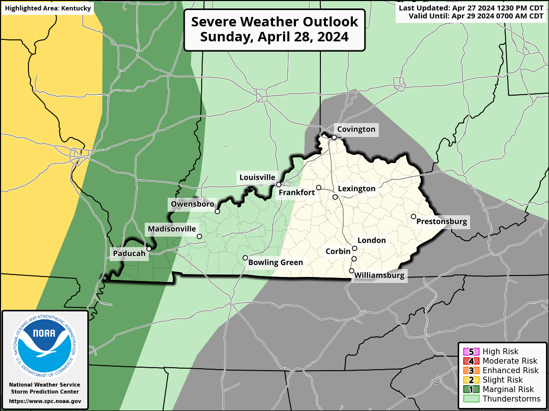
There may be another low-end threat for a strong or severe storm. Here’s the Thursday Severe Weather Outlook from the Storm Prediction Center…
Temps behind that will be fairly pleasant Friday into Saturday before we toast it up later Sunday and Monday. That southern Plains heat makes a run at us into the middle of next week before we see a more active pattern taking shape with the jet stream just itching to buckle around the Labor Day Weekend into the following week…
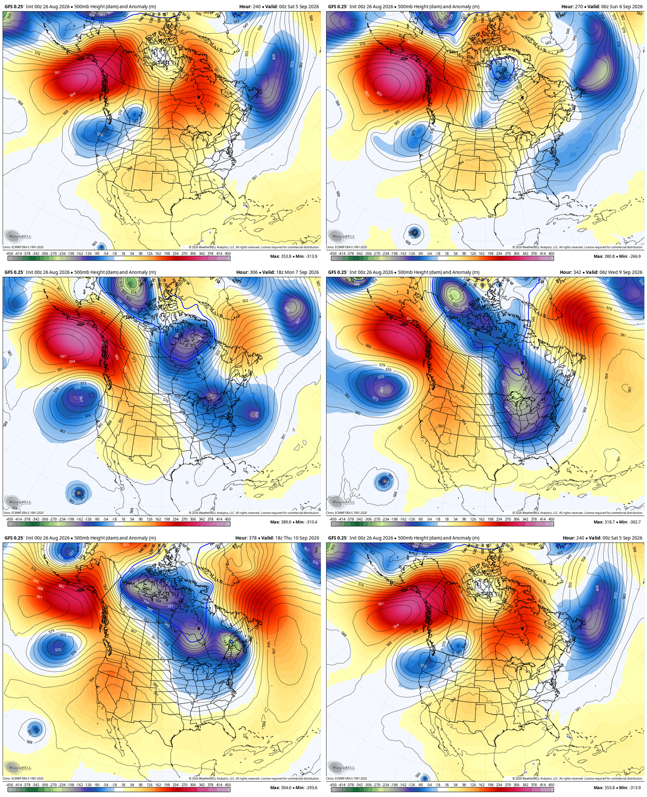
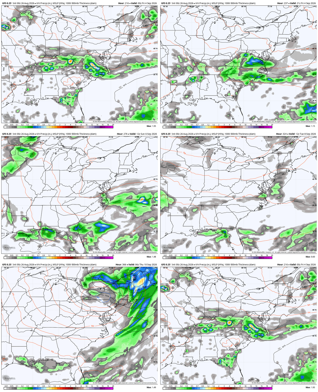
That’s the signal I’ve been talking about for a bit now and it still shows up. At the surface, this would bring a few active cold fronts into the region. This animation starts next Thursday and runs through September 10th…
The tropics are slow this year, but are showing some signs of flaring up. The one system well out in the Atlantic is one to watch…

The next name on the list is… Dolly. How fitting is that?
As always, I leave you with your daily storm tracking toys…






