Good Thursday to one and all. We have a cold front dropping into the state today, bringing the potential for a few storms. As we track a little Thursday thunder, we are also looking ahead to a toasty pattern gearing up to end August and begin September.
Let’s start with our Thursday and roll forward.
Temps today are back into the low and middle 80s ahead of the front dropping in from the northwest. This will spit out a scattered shower or thunderstorm with the best chance showing up across the eastern half of the state. The low-end risk for a few strong to severe storms is there…

That’s mainly for isolated wind damage that may show up.
Temps on Friday will be really pleasant and generally in the 80-85 degree range…
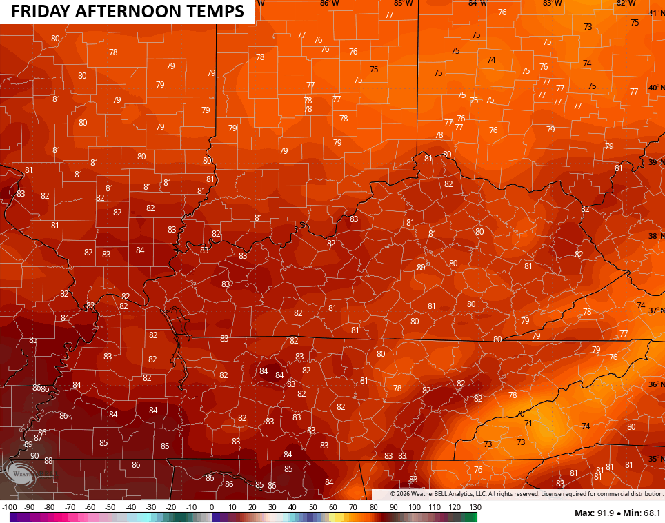
That will come with a partly sunny sky and just the smallest chance for a shower in the southeast early in the day.
Saturday also looks pretty darn nice with similar temps…
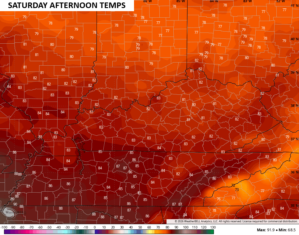
Temps start to take off on Sunday and really surge into the first half of next week. Upper 80s to low 90s will be common with just the chance for isolated storms.
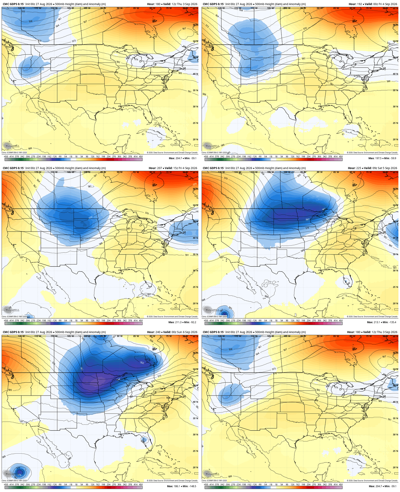
The pattern for Labor Day Weekend will find a better chance for some storms as we see the jet stream start to buckle…
Here’s the surface showing a stout fall cold front at the tail end of it…
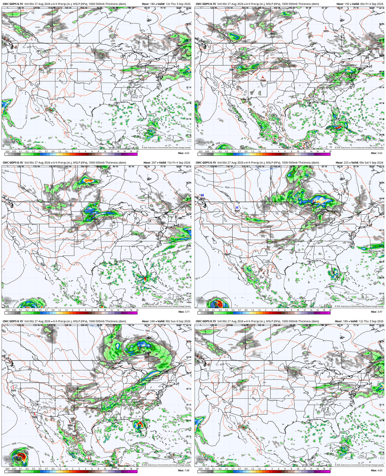
It should be noted that we are entering into a notorious time of the year for forecast model struggles. Throw in a developing Super El Nino and the fact the models have had a terrible summer, and you have the makings of bad times for those who let models make their forecasts.
As always, I leave you with your daily storm tracking toys…






