Good Friday to one and all. We’ve made it to the end of the week with the final weekend of August about to kick off. The weekend as a whole looks pretty good, but some late summer sizzle is on the way as we end the month and slide into September.
Temps out there today are very nice with most areas into the 80-85 degree range. This makes for another great evening for high school football.
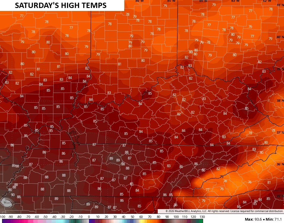
Lows tonight reach the upper 50s to low 60s to start our Saturday with low and mid 80s coming during the afternoon with some upper 80s west…
Sunday marks the return of real summer temps with upper 80s to around 90 in many areas, but humidity levels won’t be too bad at all. That trend continues into the next week and that’s a good thing because temps really take off. Highs reach the upper 80s and low 90s for many from Monday through Thursday.
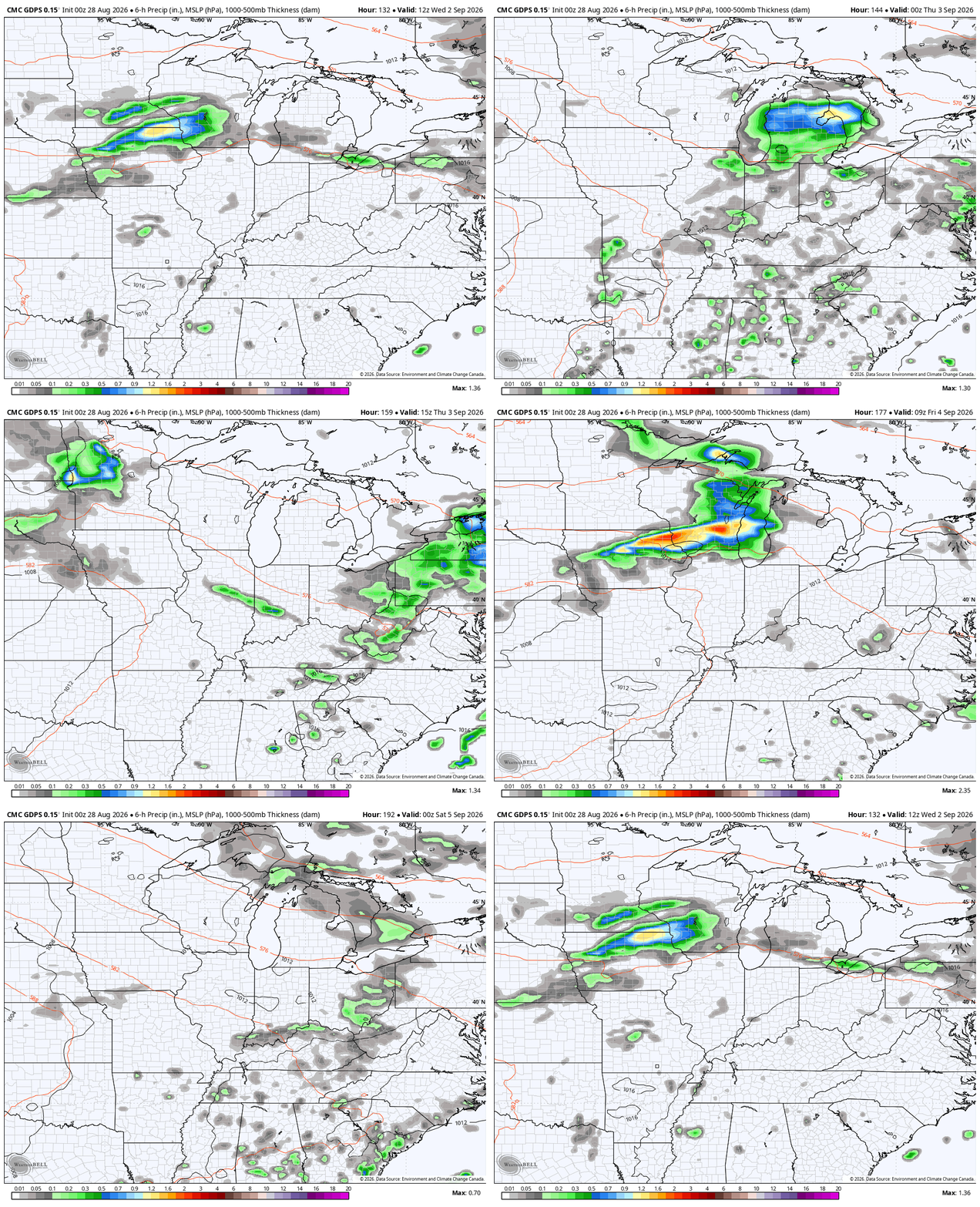
The threat for a few thunderstorms will also show up later Wednesday and Thursday as we watch for the possibility of a system or two to dive in here for the end of the week…
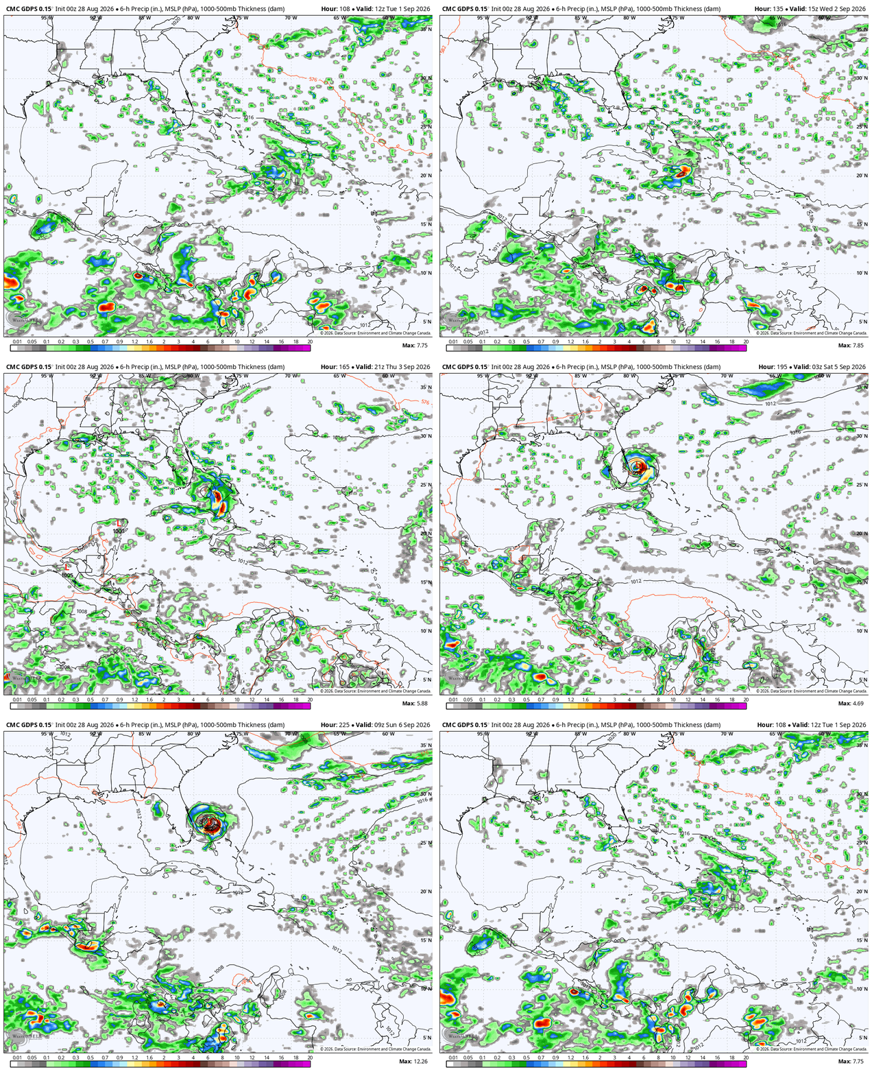
What happens from this point on may be dictated by the tropics. Tropical Storm Dolly formed in the Atlantic on Thursday, but is forecast to weaken as it heads toward the Caribbean…

There’s a chance what’s left of that system tries to fire back up as it spins deeper into the Caribbean and, potentially, toward the southeastern US…
Something like that doesn’t usually occur in a developing Super El Nino like what we have now, but the overall pattern has yet to behave like a developing Super. It’s still intriguing that the number one analog from the GFS Ensembles for early September continues to be from around the same time in 2005…
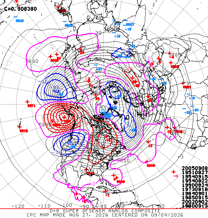
2005 just happens to be the busiest hurricane season in history, so maybe the ensembles are giving Dolly, or something else, a fighting chance. 2005 was also a weak La Nina, so to keep seeing it as the top analog shows just how out of synch the overall pattern is compared to what we should get during a Super.
Folks, there’s so much we still don’t understand in this field.
As always, I leave you with your daily storm tracking toys…






