Good Monday, everyone. It’s the final day of August which means Meteorological Summer is coming to an end. Of course, that doesn’t mean the summer temps are over as September will be starting out with a little bit of sizzle.
Temps today start the run of 90-95 degree high temp days that will carry us through Thursday. Some spots may go a touch above that on a day or two. Humidity levels are nowhere near what we had weeks ago, but our heat index numbers are still going to climb.
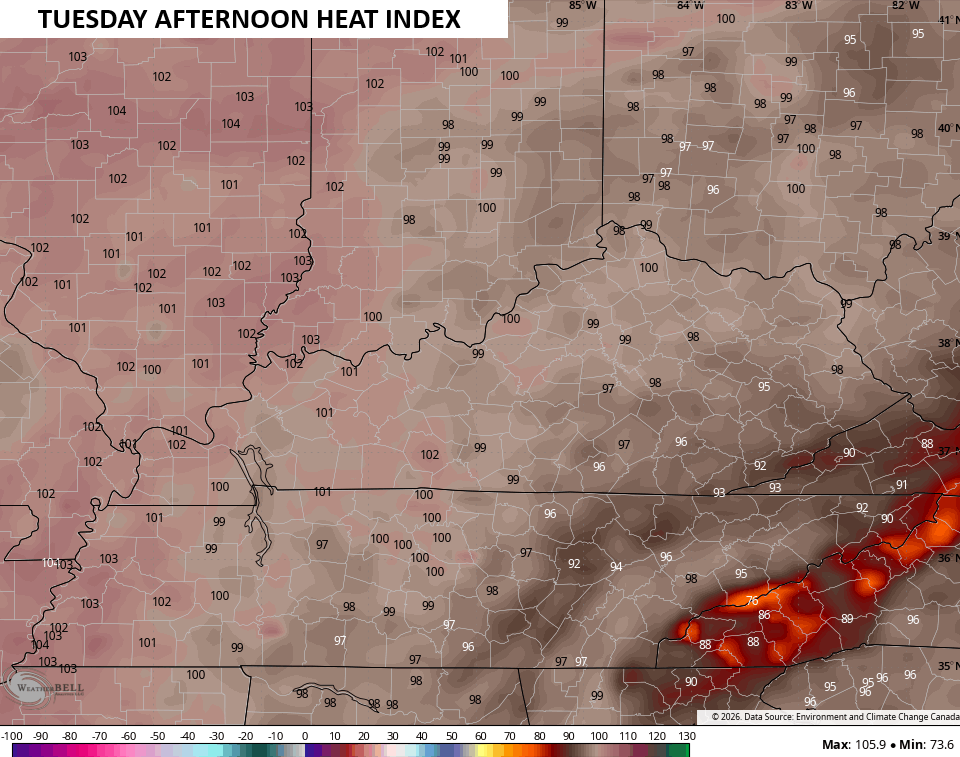
September starts with a 95-100 heat index central and eastern Kentucky with higher numbers in the west…
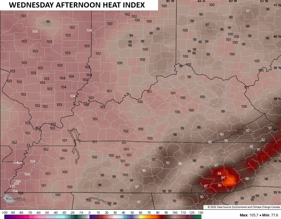
Heat Index numbers climb a little more for Wednesday…
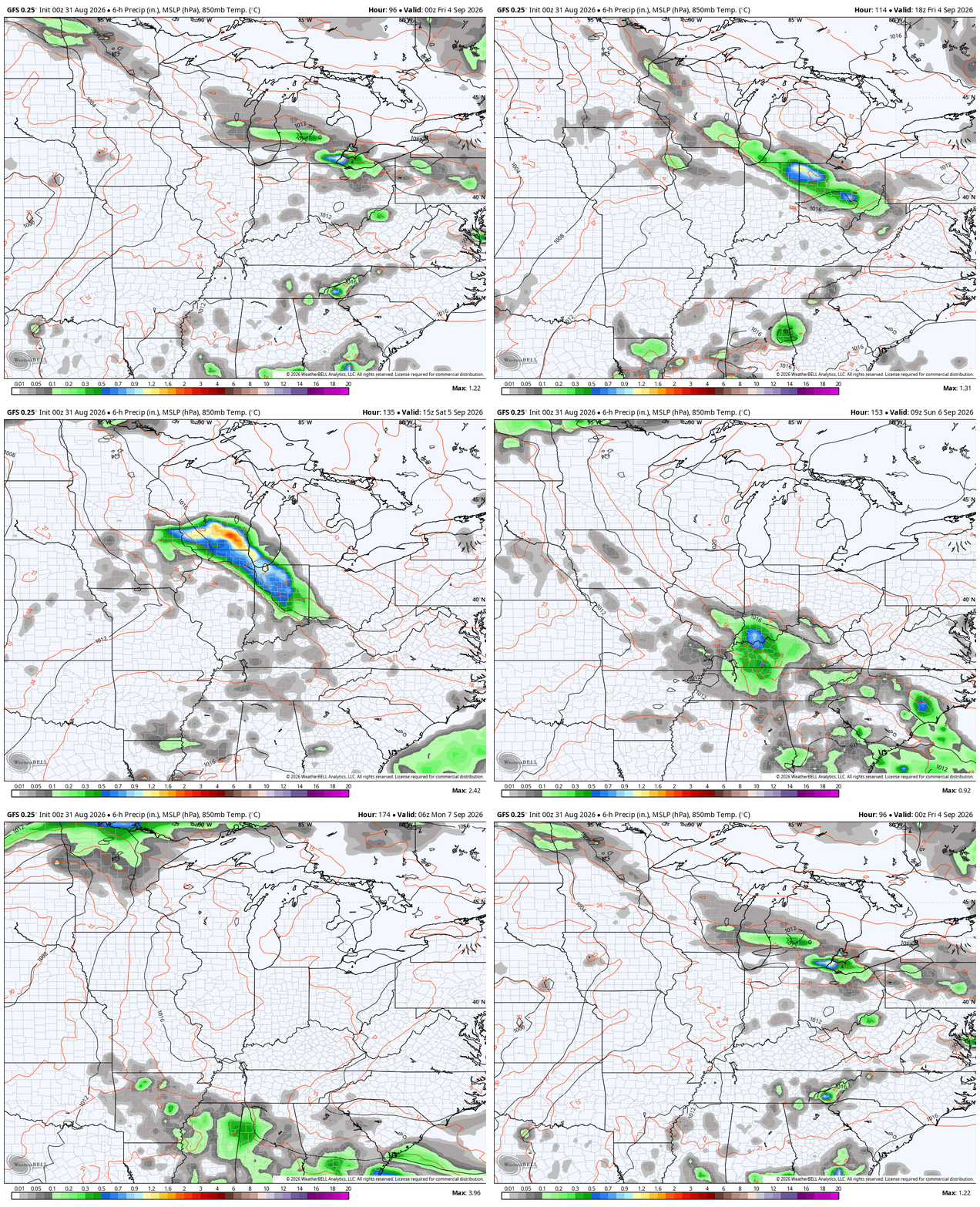
Thursday may very well be the hottest of the bunch before we slowly see some changes by Friday into Labor Day Weekend. That’s when a system or two drops in from the north and northwest, bringing a few booming thunderstorms, especially later Friday and Saturday.
The GFS likes the storm potential into early Sunday…
The Canadian is a little quicker…
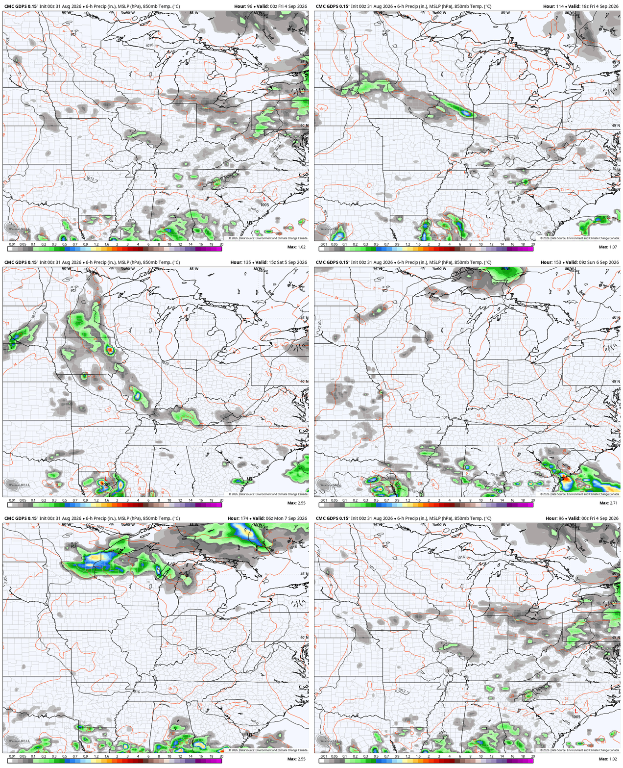
This knocks the temps down quite a bit, giving us normal or a touch below normal for a bit.
Much of what happens depends on the tropics with two systems of interest…

Of course, the Pacific hurricane season is off to the races with multiple systems…

As always, I leave you with your daily storm tracking toys…







Thanks Chris. The upcoming pattern change around Labor Day is interesting. I’m especially curious whether the cooler air behind the northern / northwestern systems can actually establish itself across Kentucky, or whether the ridge quickly rebuilds. We’ve had such persistent ridging and heat this Summer that I’m wondering if this is only a temporary break. The bigger Question for me is whether September can finally develop a sustained pattern change rather than just a few cooler days.
Tropical system in the Gulf ( AL97 ) is worth watching, not because that it may become a major Hurricane, but because tropical moisture interacting with the ridge could influence the overall weather pattern in time.