Good Wednesday to one and all. It’s another hot day as humidity levels slowly begin to increase. This increase in juice is ahead of an increase in showers and storms for the end of the week into the start of the Labor Day Weekend. This will also bring in much cooler temps into the region.
Highs today are back into the 90s with the west having a shot at 100. The southeast will be much cooler than the rest of the state, similar to the past few days. There’s also the chance for a stray storm or two to fire up.
Humidity levels will increase on Thursday, giving us a better chance for heat index numbers to actually reach Heat Advisory criteria levels for some areas in the west, especially.
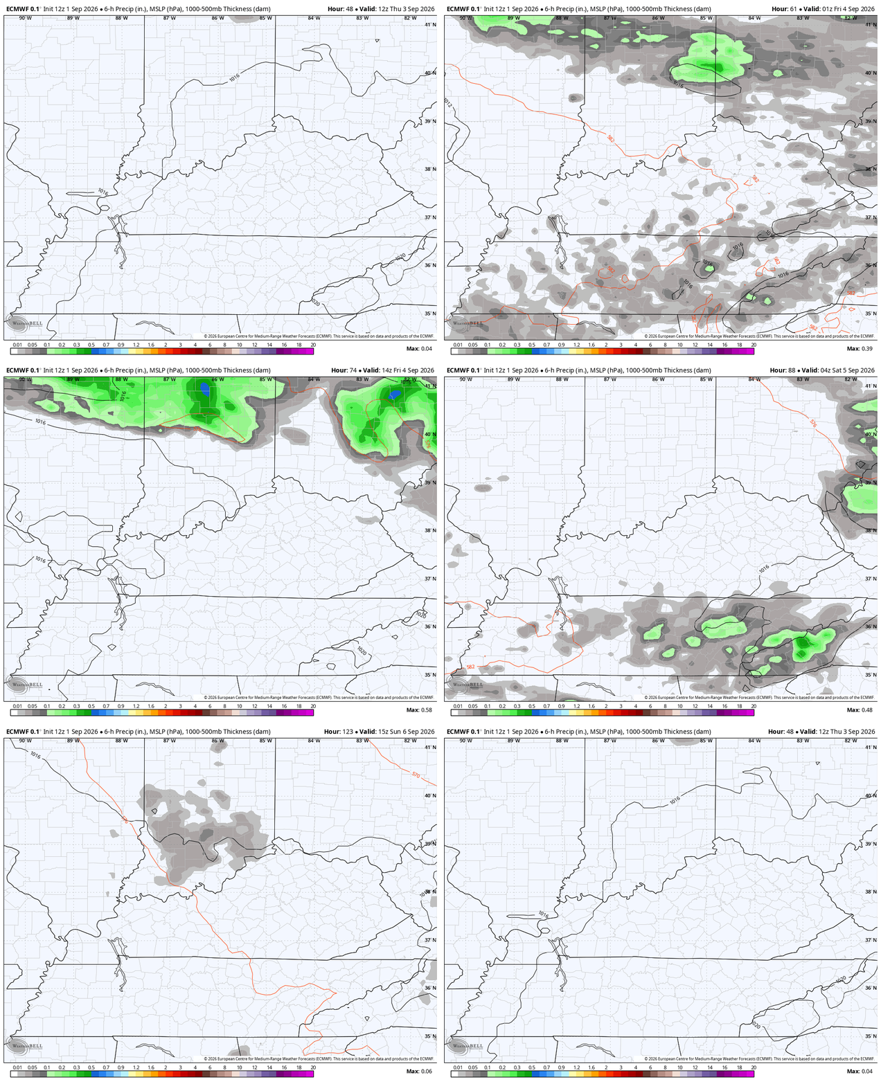
Scattered showers and storms will go up Thursday afternoon and evening with a much better chance coming Friday into Saturday. A few clusters of strong storms will drop in from the north as a boundary slowly slides through with drier and cooler air behind it.
This animation from the EURO shows all of the above from Thursday morning through Labor Day…
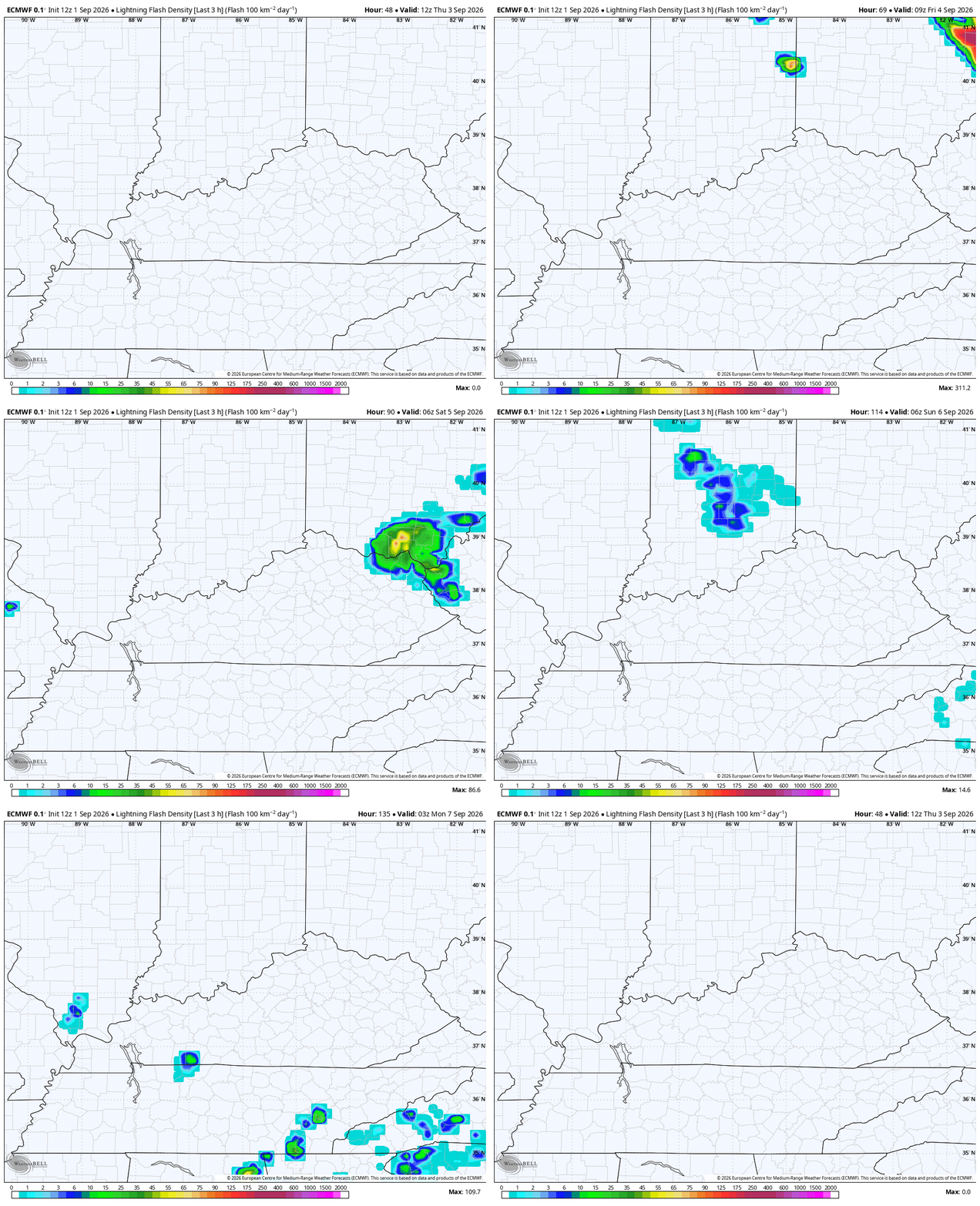
These storms will be loaded with lightning and that’s a concern for outdoor activities, including football games…
The Storm Prediction Center has a low-end risk for a few severe storms on Thursday, mainly to our northeast…
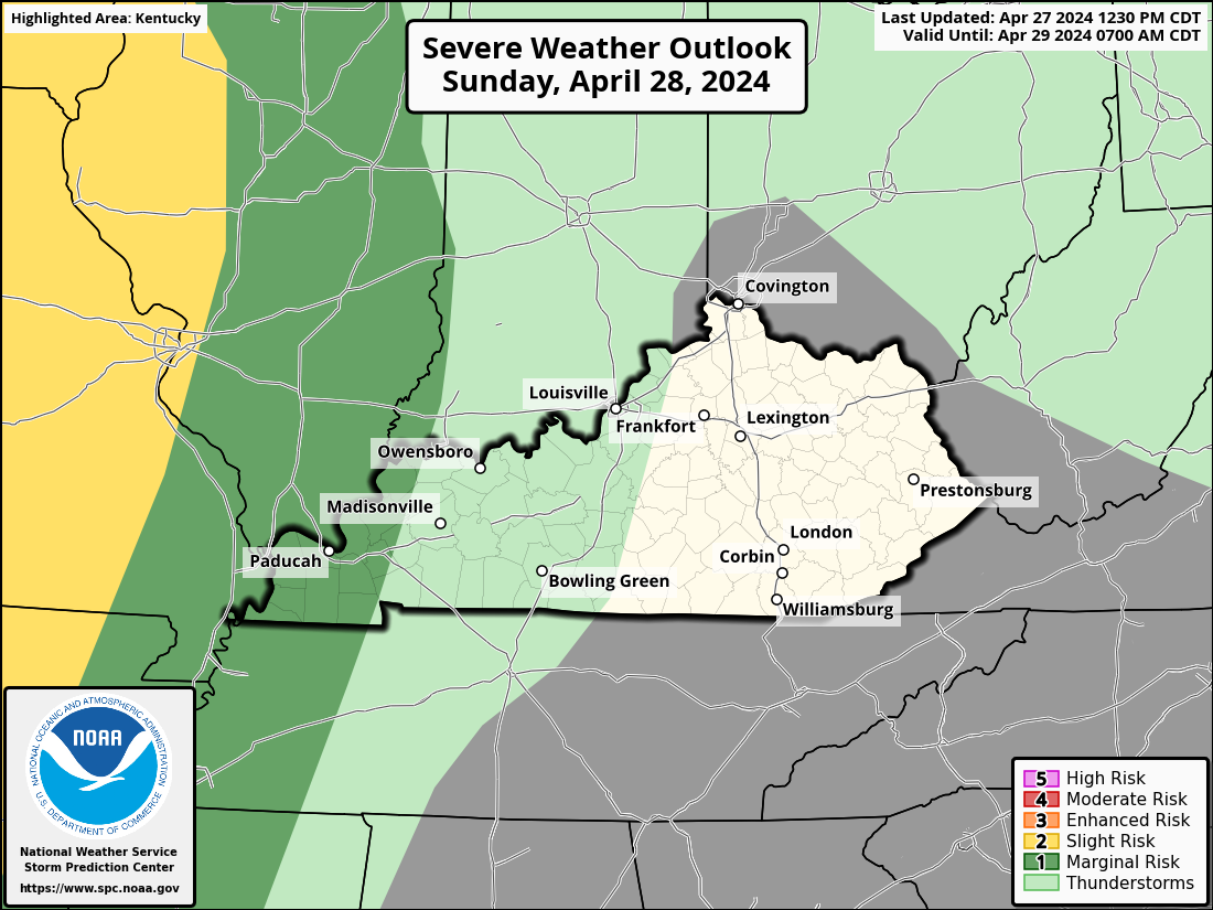
This threat sinks a little farther south into Friday…

The air moving in for Sunday and Labor Day feels much better as temps come way down.
The heat will likely take another stab at us next week, though!
As always, I leave you with your daily storm tracking toys…






