Good Sunday, everyone. A cold front continues to press across the state early today, bringing MUCH better air behind it for the rest of our Labor Day weekend. While temps will toast up again for a few days by the middle of the week, it won’t be nearly as hot, and it won’t have the same staying power.
A leftover shower or storm will be noted out there today, especially early on and, especially across the southeast. Highs across central and eastern Kentucky range from the upper 70s to low 80s with still some upper 80s in the far west and southwest. Drier winds will also be kicking in, making it feel really nice as the day wears on.
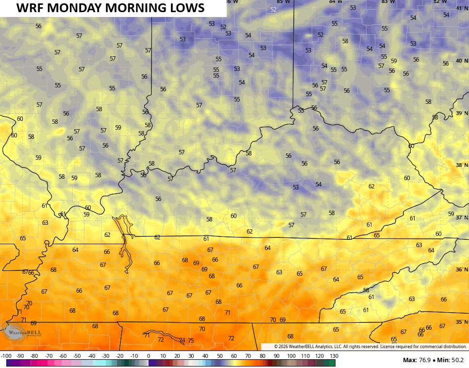
That drier air will help Labor Day morning lows drop into the mid and upper 50s for some areas…
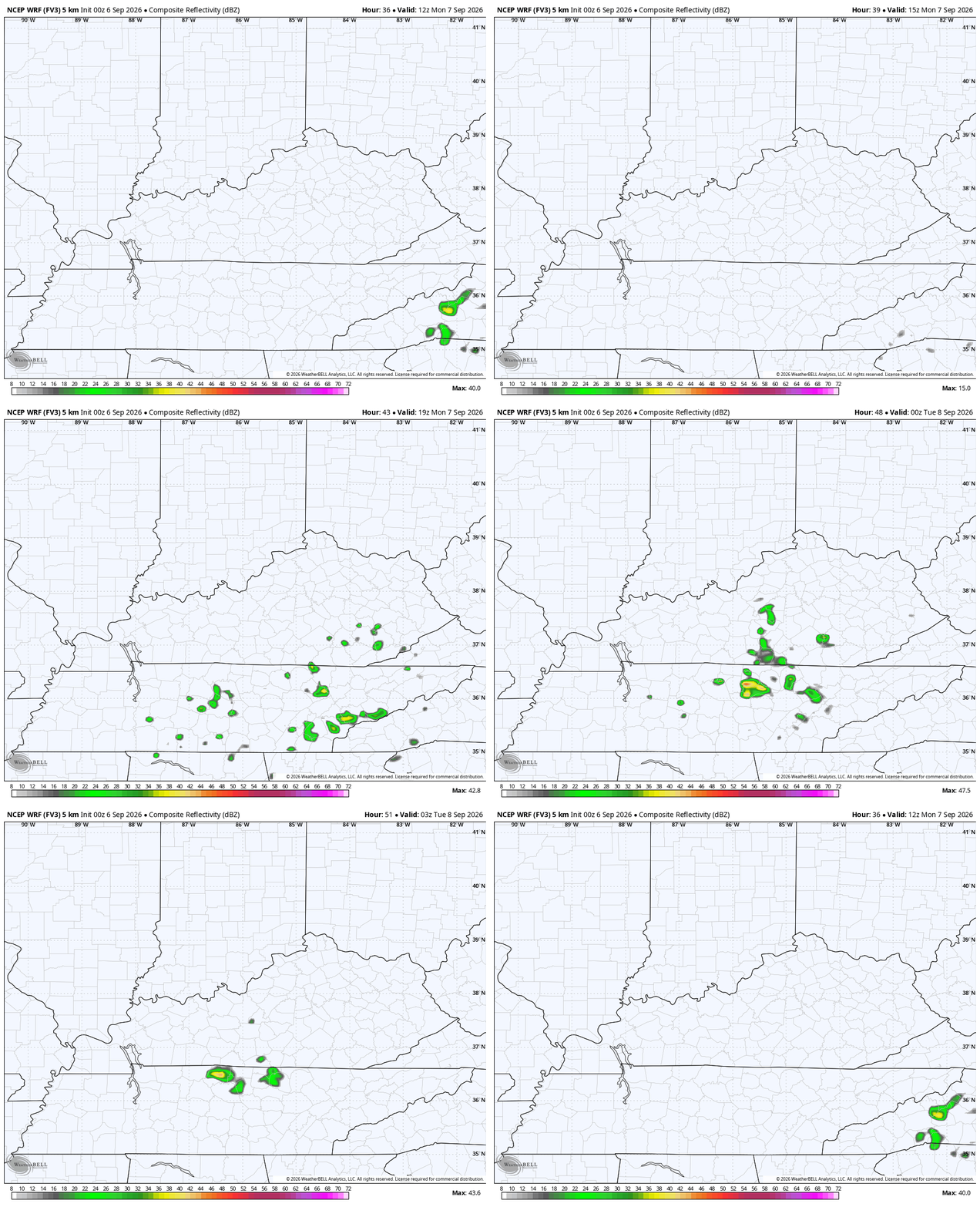
Labor Day temps are generally in the 80s with a mix of sun and clouds. With a system spinning to our southeast, there’s still the chance for a stray shower or two to work against the grain…
Temps for Tuesday and Wednesday aren’t looking as hot as I originally thought. Highs across central and eastern Kentucky may stay below 90 with the west into the low 90s.
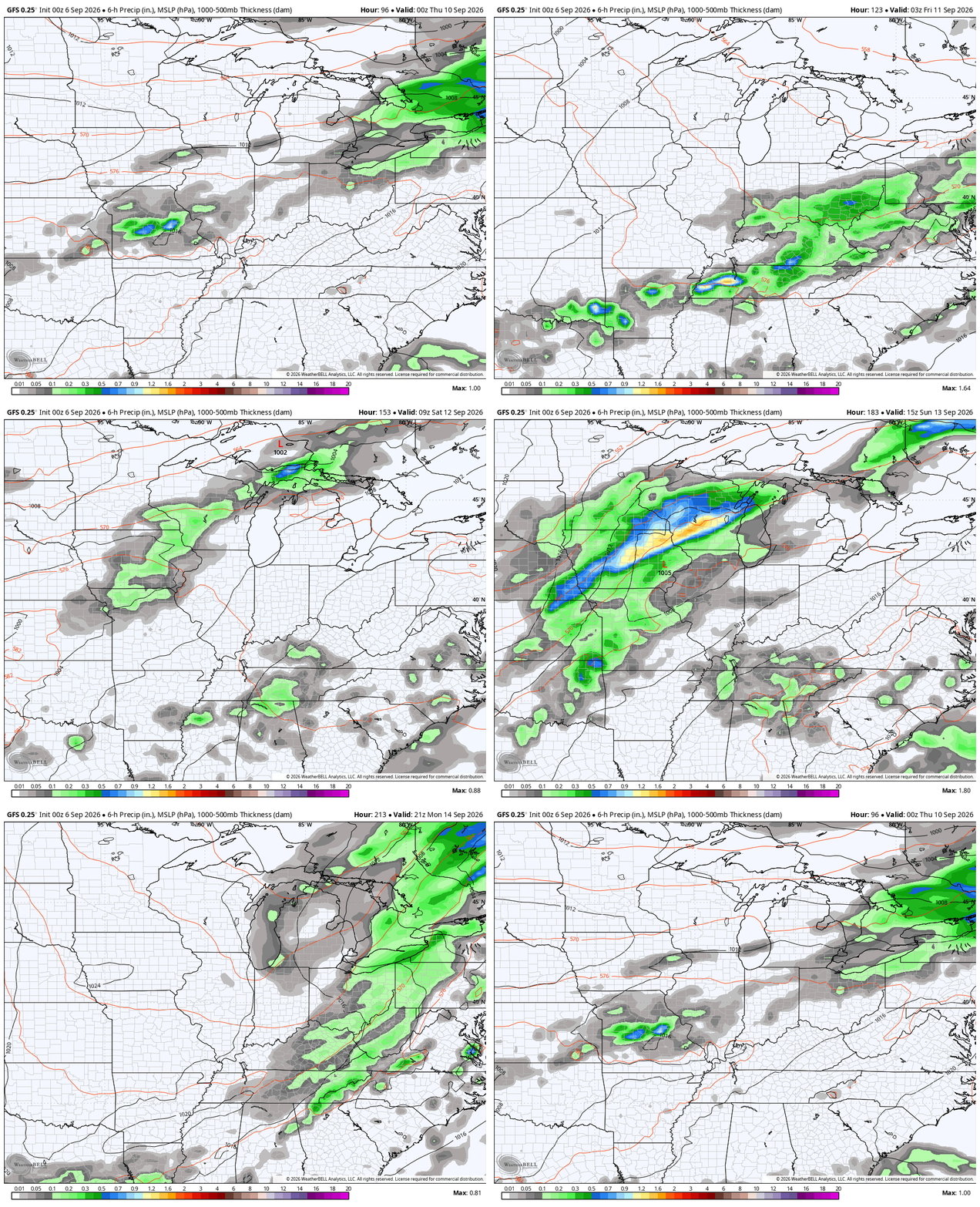
There’s even the chance for a late day shower or storm coming Wednesday ahead of a cold front dropping in for Thursday. That front brings showers and storms with it as temps drop back to near normal to end the week. This will be followed by a few more systems that may feature our first true big fall cold front.
The GFS animation shows all this from Wednesday night through September 15th…
While the pattern is skewed above normal for temps, this is not even close to a repeat of the scorching hot Septembers of 2019 or 1925.
As always, I leave you with your daily storm tracking toys…






