Good Tuesday, everybody. Toast temps are surging back into the region today and will hang tough for the rest of the week. A few thunderstorms will try to get going as well to help us out some ahead of a more prominent change by early next week… I think.
Temps today reach the mid and upper 80s in the east with 90-95 in the west. That strong southwest wind will also usher in a little more moisture that can lead to isolated showers and storms going up in the west.
Daytime highs are generally 90-95 over the next few days with humidity making it feel hotter, especially in the west.
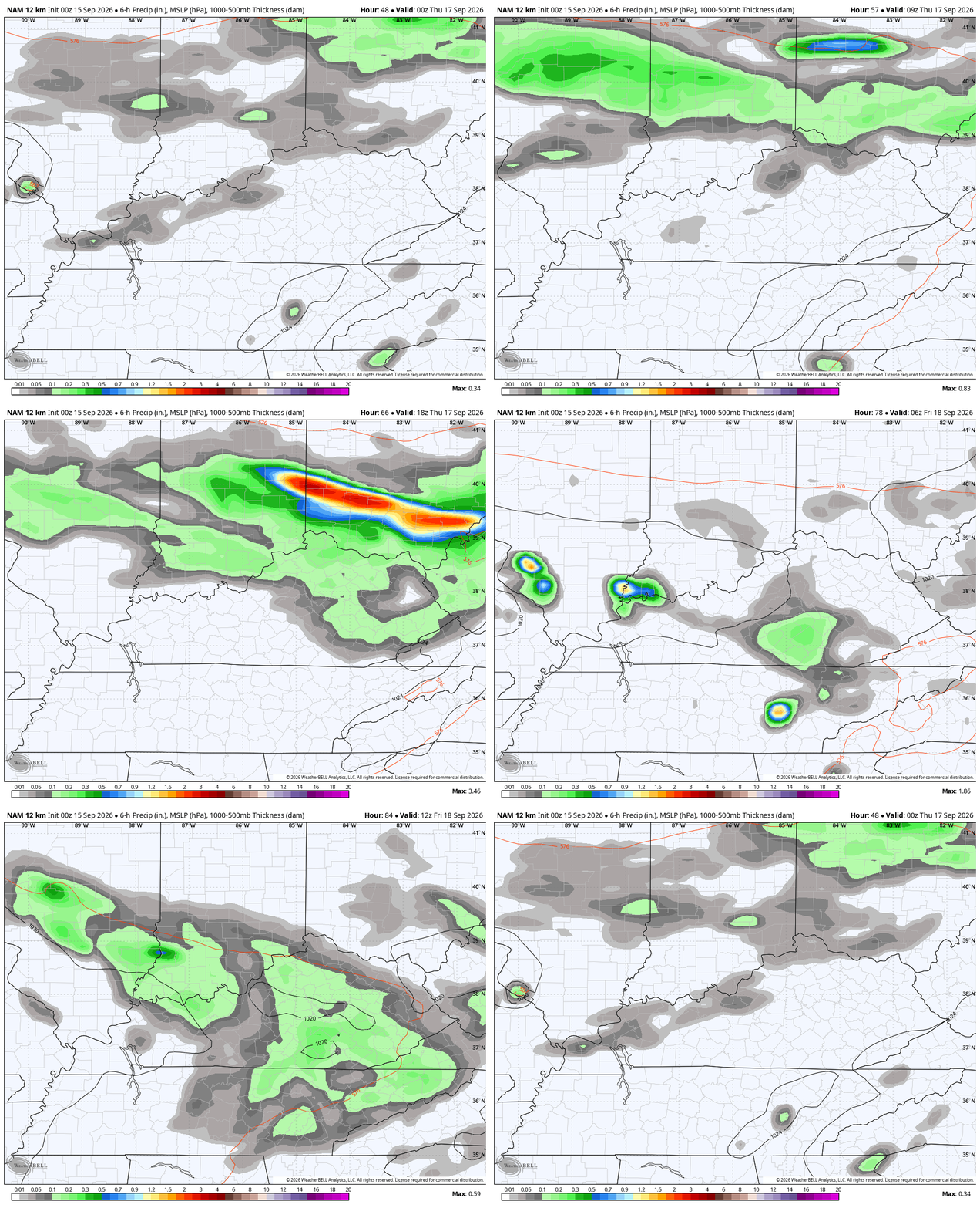
A cold front drops in from the northwest by Thursday, but it never makes it through here. With this boundary slowing down close to our region, it brings a few scattered showers and storms into the state.
This animation from the NAM starts Wednesday afternoon and goes through early Friday. It’s the farthest south with this boundary…
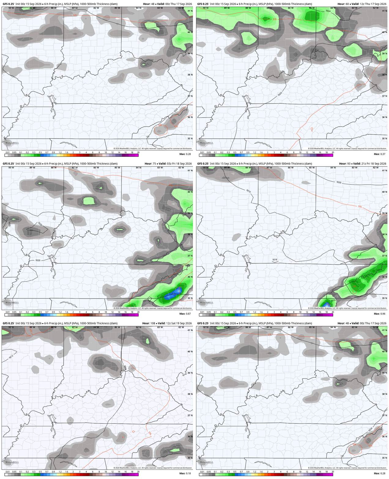
The GFS isn’t as aggressive…
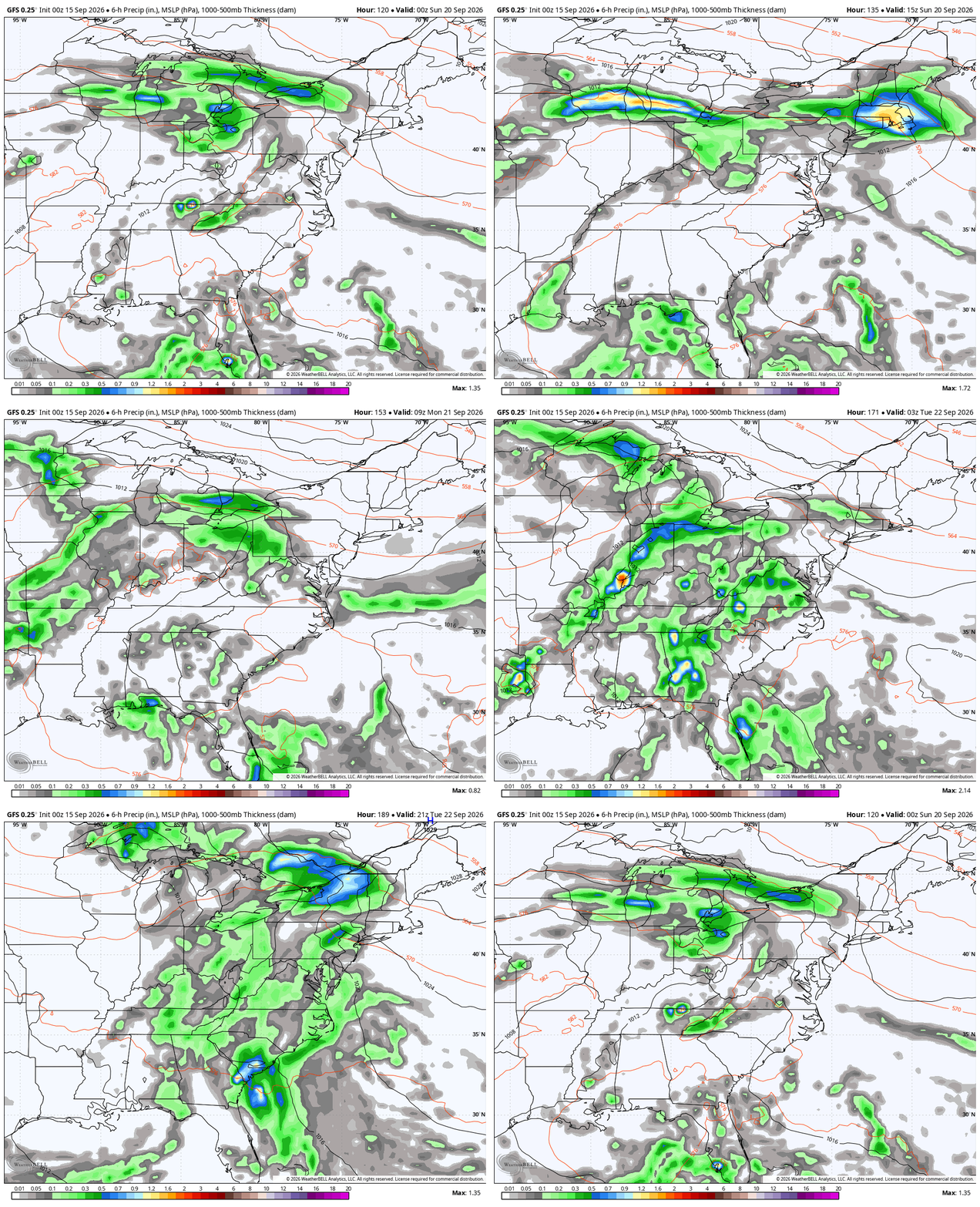
From there, we watch a rather convoluted setup with a system dropping in from the northwest and something tropical or semi-tropical trying to spin up across the western Atlantic or Gulf. The NHC is watching this possible system…

Several models take whatever that is across Florida and into the Gulf. What’s left of that may get pulled northward into our region as the system drops in from the northwest…
As always, I leave you with your daily storm tracking toys…




Current watches

Possible Watch Areas

Make it a terrific Tuesday and take care.

The fall equinox is officially next Tuesday 9/22 at 8:05pm.
2026 will go into the record books as the warmest year since records were initially kept, even if the trmperatures
…should drop like a rock tomorrow, and there’s no way that will happen. The extremes in temperatures is a major reason why the forecasts delivered by the long term models seem ludicrous, and they will certainly stay that way for the foreseeable future. In fact, temperature and moisture extremes have made even the shortest term forecasts unteliable