Good Sunday afternoon everyone. I wanted to drop by for a quickie update on the showers and thunderstorms that will arrive ahead of schedule. We are seeing some scattered stuff popping already across parts of central and western Kentucky and that trend will increase tonight into Monday.
As a matter of fact… the next 24 hours should be very stormy across the region with heavy rains a good bet along with the chance for some strong or severe storms. Both are points we highlighted several days ago… but a sleepy weather dude left out the severe threat with my headlines last night. ![]()
You can track all of today’s storms here…
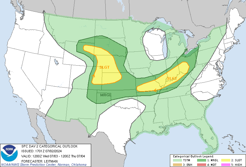
Here is the latest from the Storm Prediction Center for today into tonight….
Most of the state is now in the risk area for severe storms for Monday…

Updates as needed… take care.


Nasty, nasty looking cell headed for Rolla, MO.
I wish my mower wasn’t kaput or I could handle the rain that’s headed for us alot better, lol.
Thanks for te update, Chris. Looks like I may be wearing pants to work tomorrow for the first time in over three weeks!
Complex is getting into Bowling Green now, so we may be getting rain not long after going to bed. Appreciate the heads up for possible storms! Everyone keep an eye the radar, and an ear on the NOAA radio!
Sure looks like all that rain is going way south of here.
I thought when I looked this post on my phone at 8 the rain wasn’t going to be hitting Lexington us since the radar was showing it going south. It has really went south.
And what’s more odd to me is the front hasn’t passed us, yet the rain is in TN.