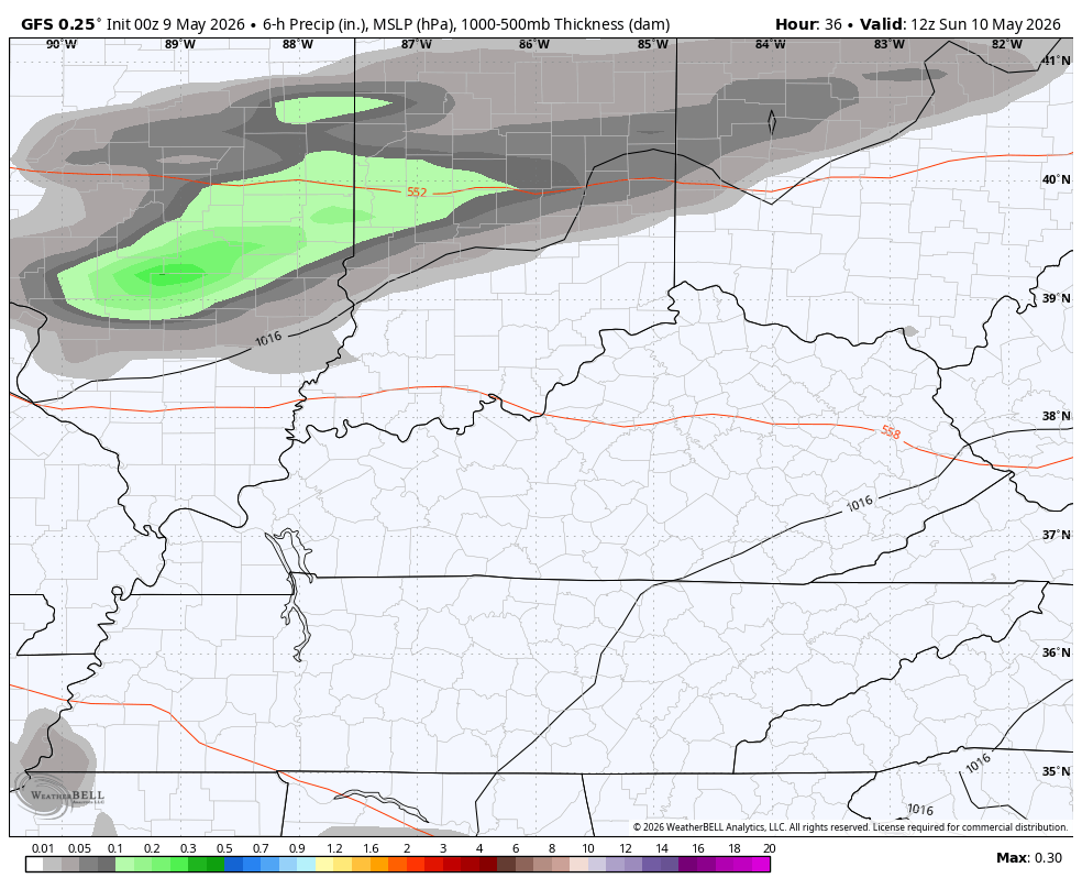
Good Saturday, everyone. Early day showers and storms give way to warm winds blowing across the Commonwealth today and this hangs into Mother’s Day. That’s when another cold front drops in with some showers and storms increasing later in the day. Cooler winds then kick in for the week ahead.
This morning’s showers and storms are rather scattered and will move away pretty quickly, leaving us with partly to mostly sunny skies. Mid and upper 70s are a good bet for many.
Mother’s Day will see temps back into the 70s with an 80 in the south and east. Scattered showers and storms then develop throughout the day and into the overnight as a small low develops along the front dropping in.
This animation shows the action from Sunday morning through Monday morning…
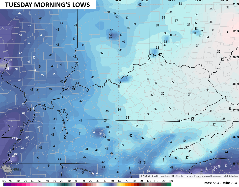
Cool temps surge back in behind this with highs in the 60-65 degree range on Monday. This sets the stage for frost Monday night and Tuesday morning as temps drop deep into the 30s…
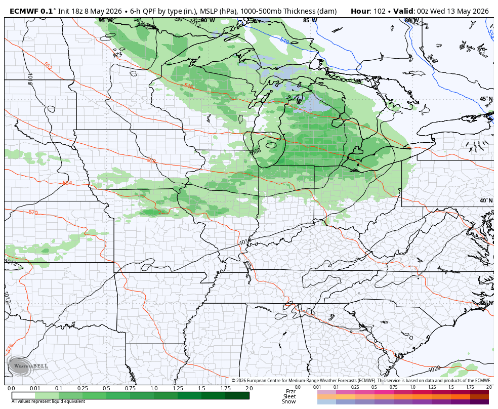
This northwest flow of a pattern will then send another cold front or two dropping in here from Tuesday night through Thursday. A few more showers and thunderstorms show up during this time…
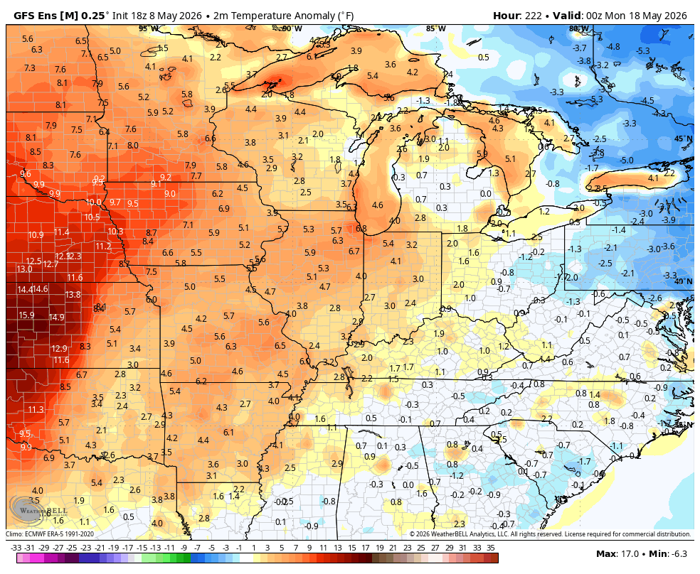
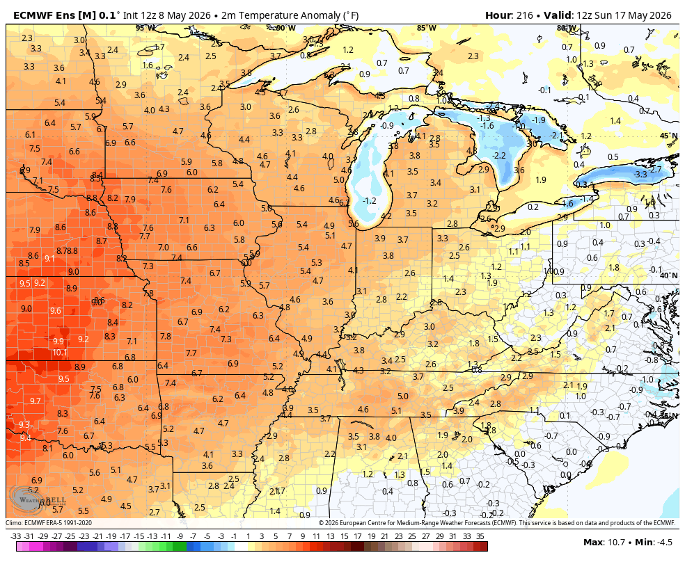
Temps are going to try to warm up starting next weekend with warming signal showing up in the week leading up to Memorial Day Weekend. The GFS Ensembles are a little stronger with this warmup than are the EURO Ensembles…
GFS ENSEMBLES
EURO ENSEMBLES
I leave you with your Kentucky Weather Radars to track the early day showers and storms out of the state…

Have a fantastic Friday and take care.

Definitely NOT complaining about the temps, but these last two months = weirdest most boring pattern ever!
I won’t complain since my electric bill has been down the last couple of months. But you’re right about it being a weird boring pattern.
I hope those ensembles verify.