Good Saturday to one and all. Tropical heat and humidity is flexing even more this weekend, bringing some serious steam to go along the threat for a few more storms. Once past the weekend, we are tracking some honest to goodness cold fronts into the region.
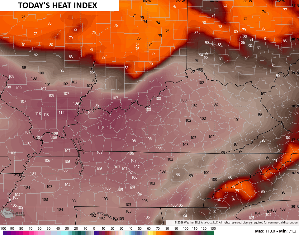
Temps today range from the upper 80s to middle 90s with humidity levels making it feel the part of… Miserable. Heat index numbers can reach 115 in the west and 100-105 across central and eastern Kentucky…
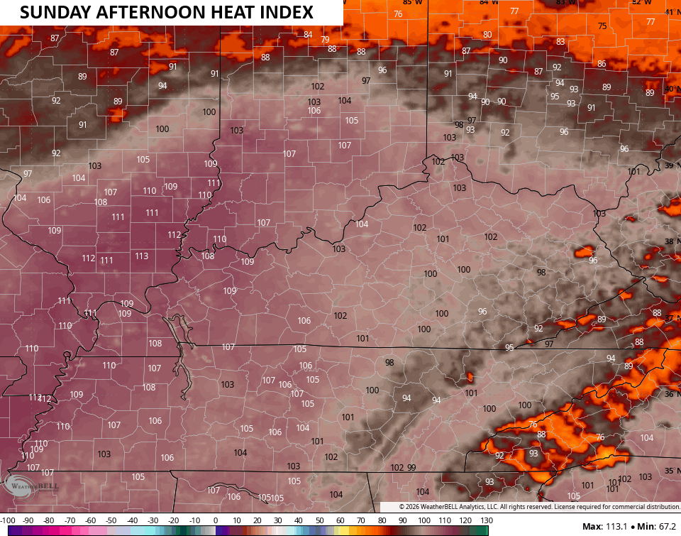
Similar numbers may show up again on Sunday…
Scattered storms will be with us today, especially in the north and east. That’s where we have the threat for a few strong to severe storms today…

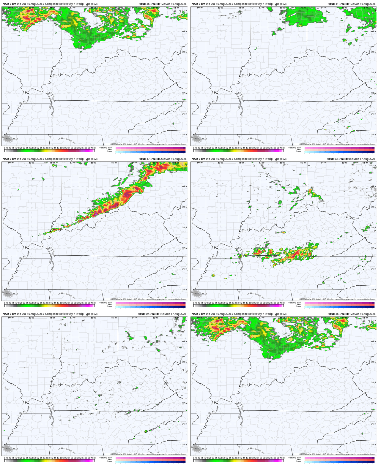
Scattered storms will fire up later Sunday with the chance for a potent squall line of storms to develop and drop through the state ahead of a cold front. The Hi Res NAM Future Radar gives us a good look at this…
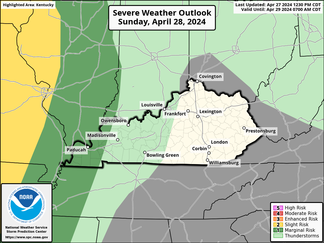
Some damaging winds would be possible with that line. Here’s what the Storm Prediction Center is thinking for the Sunday Severe Weather Outlook…
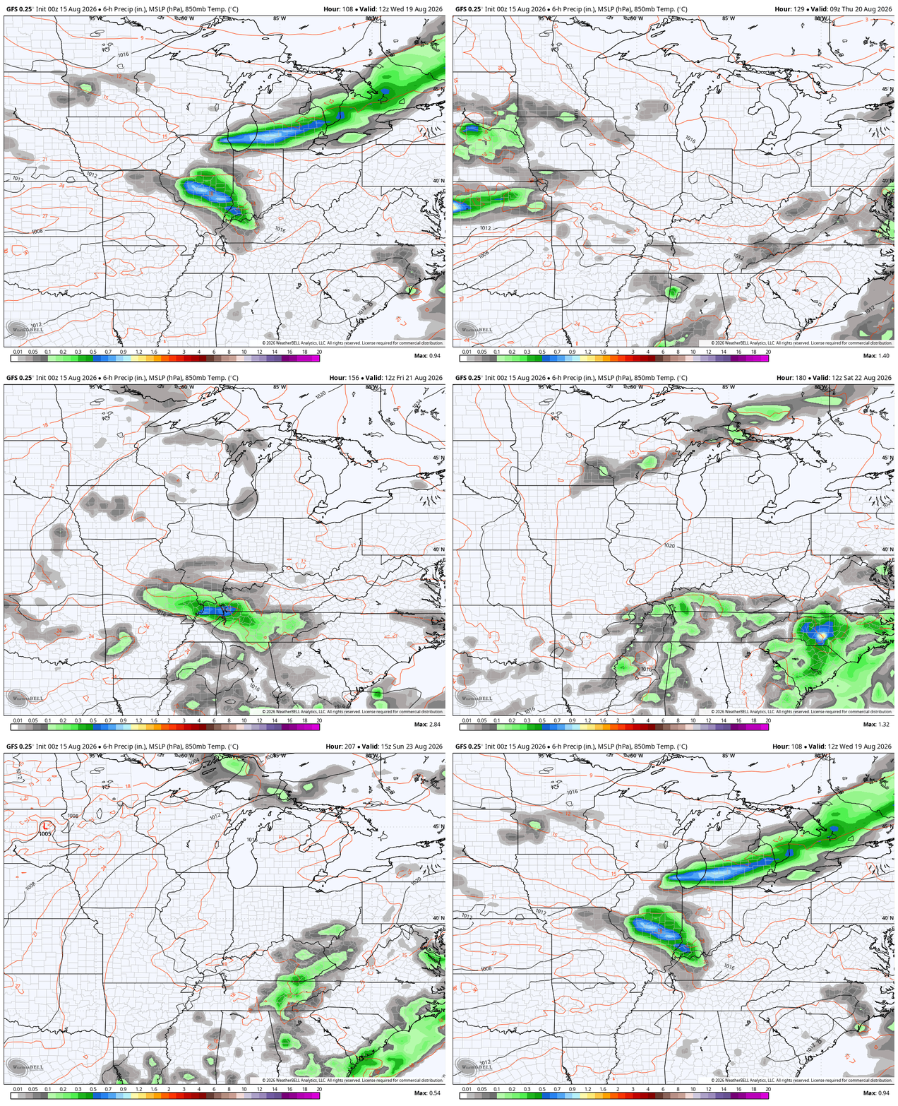
Much cooler and more comfy air comes in behind this boundary later Monday and sticks around into the middle of the week. That’s ahead of a stronger system that brings some more showers and storms and cooler air later next week…
We’re gonna talk a little bit about the winter ahead with the next update. Those seasonal models are all starting to look pretty similar to one another.
As always, I leave you with your daily storm tracking toys…







Thanks Chris. I will enjoy your Fall and Winter predictions. Stay safe everyone through this dangerous, awful heatwave.
Talking winter this early is crazy.
Not too early to receive a Fall forecast. Winter forecast is much more accurate if given in November.
Rain shield this morning, shows a very strong Southeast Ridge.
At 11:30am CDT the current temperature at my PWS is 96.1°F, the dewpoint is 72.5°F, and the heat index 105.1°F. That temperature is 6.1°F higher than yesterday at the same time. Yesterday’s high temperature was 101°F, and the heat index reached a high of 118.2°F, so I am expecting increases in both values today.
With that in mind, ANY discussion relating to the upcoming winter of 2026-2027, will provide a welcome alternative, at least mentally, to this unrelenting heat. Also, I am mystified why the NWS has declared a Heat Advisory for South Central Kentucky. Earlier in the summer there were at least a half dozen instances where an Excessive Heat Warning was declared for the region. At that time, forecasted temperatures were 4 to 5 degrees lower than today. Then again, more NOAA employees have been let go since that time, further affecting forecaster accuracy.
It’s crazy that living near fields of crops makes it more unbearable. You would think that would be reserved for cities/pavement